2021 Shenandoah Epic
By Abby Perkiss:
I write this race report 30,000 feet in the air, somewhere over the Plains en route to the Pacific Northwest and Expedition Oregon. It is my first plane trip in seventeen months, my first multiday race in nearly three years. A combination of pregnancy and COVID have largely pulled me away from racing since September 2018, when my Rootstock teammates and I last stood atop the podium at the USARA National Championship.

My life and my relationship with the sport have, in some ways, transformed since then. Brent and I now juggle two kids with busy careers, and we moonlight as members of the new leadership team that took over the US Adventure Racing Association in 2020. I have spent the last fourteen months working from home, tethered to my computer with a rambunctious one-year-old puppy as my only office mate. I’ve traded the twelve hours a week I used to spend commuting with afternoons of zoom meetings disrupted daily by a curious toddler and an impish seven-year-old, who until a few weeks ago no longer had after-school childcare (thankfully, they have been in school for most of this academic year – something I don’t take for granted in the Long 2020), and meetings that don’t fit into the work day consume most evenings during the week. My time and energy for focused training have diminished as well. In the spring and summer of 2018, the last time I felt at peak fitness, I competed in two expedition races and routinely logged thirteen to fifteen hours of activity each week. Now, I’m lucky if I can top out at ten hours.
It was within this context that Brent and I drove south for Virginia and the Adventure Enablers’ 2021 Shenandoah Epic. As much as I’d longed for the return of racing, now that I was fully vaccinated, I also found myself feeling unsteady – nervous, out of practice, and positive that I had packed all the wrong foods.
We arrived at the bike drop at the familiar Shenandoah River Park – the start/finish of so many past editions of the Epic – to find a few dozen friends sorting gear, lubing chains, and pausing for cautious fist bumps or giant bear hugs. As someone who hasn’t been around more than a few people at a time in fourteen months, it felt like the first navigational challenge of the weekend – simultaneously surreal and wonderfully normal.
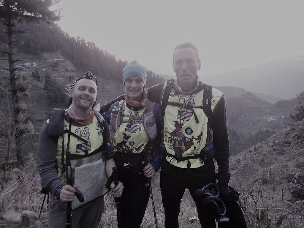
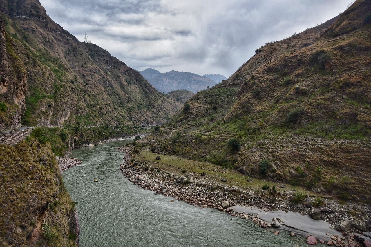
After we staged our bikes, we drove around the Massanutten Ridge to Caroline Furnace, the venue for this year’s race. This sprawling summer camp offered the perfect site for a pandemic-edition event, with ample space for folks to spread out throughout the grounds. We connected with the rest of our team, Jesse Tubb and Brian Reiss, and readied our maps and gear for what we expected to be a relatively straightforward, if physically punishing, tour of the Shenandoah Valley and the steep ridges on either side.
The next morning, teams gathered on a large field for a luxuriously civil 9:00am start. The race would begin with a quick separator before we traversed up, along, and over Massanutten and down to the river for the paddle put-in. We had decided the night before that we would push through these first two legs and then settle in and try to maintain a steady effort for the duration. It was a bit of a different strategy from our typical Rootstock approach, which tends to veer toward conservative at the start and then making up ground as we go. But Brent (and, with a little bit of coaxing, the rest of us) felt confident that we had the legs and the muscle memory to sustain it.

And so it was that we found ourselves flying through the trail network at Caroline Furnace, collecting fire-making materials from seven staffed CPs, all at fire circles scattered throughout the grounds. It’s no secret that my lungs and legs hate sprint separators, the combo of the fast pace and the race-start adrenaline surge throwing all of my systems into overdrive. Still, I was prepared for the hurt, and unlike previous races where I let it get the better of me, I found myself rolling with and through the discomfort, settling in on just this side of redlining.
Half an hour and one bobbled CP later, we raced through the TA seconds in front of our teammate, Nicki Driscoll, this time racing with Full Send, and our friends on Strong Machine. Before the start, I had stowed my small Ultimate Direction running vest in the front pocket of Jesse’s Hyperlite, and he carried it through the first couple checkpoints on the run up Massanutten so I could recover from the prologue. We continued pushing just past our typical race pace, enjoying the spring mountain air, the cloudless skies, and the crisp morning temps. The fifteen-kilometer trek passed quickly, and when we descended the ridge, we found ourselves alone at the transition to the boats. Jesse Spangler, racing solo, was a few minutes ahead of us on the water. We wouldn’t know how far back the next team was for another couple hours.
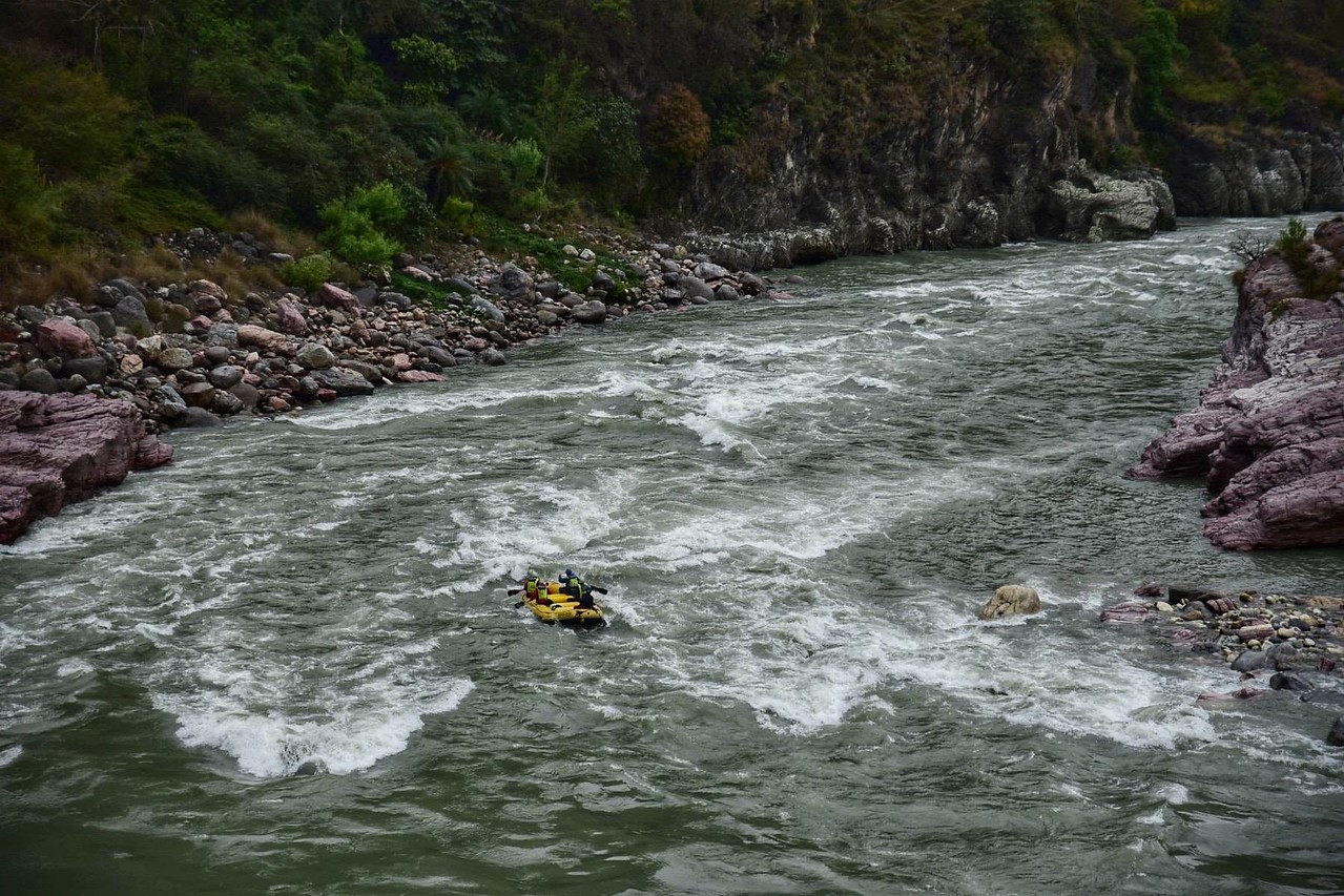
The paddle took us twenty-eight kilometers down the west branch of the Shenandoah River and included two small embedded foot sections – a nice opportunity to stretch our legs and capitalize on one of our team’s consistent strengths in AR: land navigation. Jesse and I paddled together in one canoe to get in a bit of practice for Oregon, and those early miles passed quickly.

It was during the first stretch on the water that I begin to realize that something felt not quite right. My typical racing personality is chatty and extraverted, but here I found myself lost in my own thoughts and struggling to add to the conversation. I was grateful for Jesse’s easy storytelling, veering between the existential and the mundane; he didn’t seem to notice my uncharacteristic quiet. Still, I felt unnerved.
We pulled off at the first foot loop – four points over a few kilometers – and quickly ran into Jesse Spangler, who was searching for a CP. This would be replicated many times over the next twenty hours. Jesse held a decided advantage on speed and power; Brent’s nav kept us mixing it up with him from checkpoint to checkpoint.
As we returned to our boat, we crossed paths with Full Send, Untamed New England, and Strong Machine, as well as soloist Brent Russell. We estimated we had roughly twenty minutes on this pack. We shoved off and kept pushing through the remaining kilometers on the water and the second foot loop, gradually extending that lead.
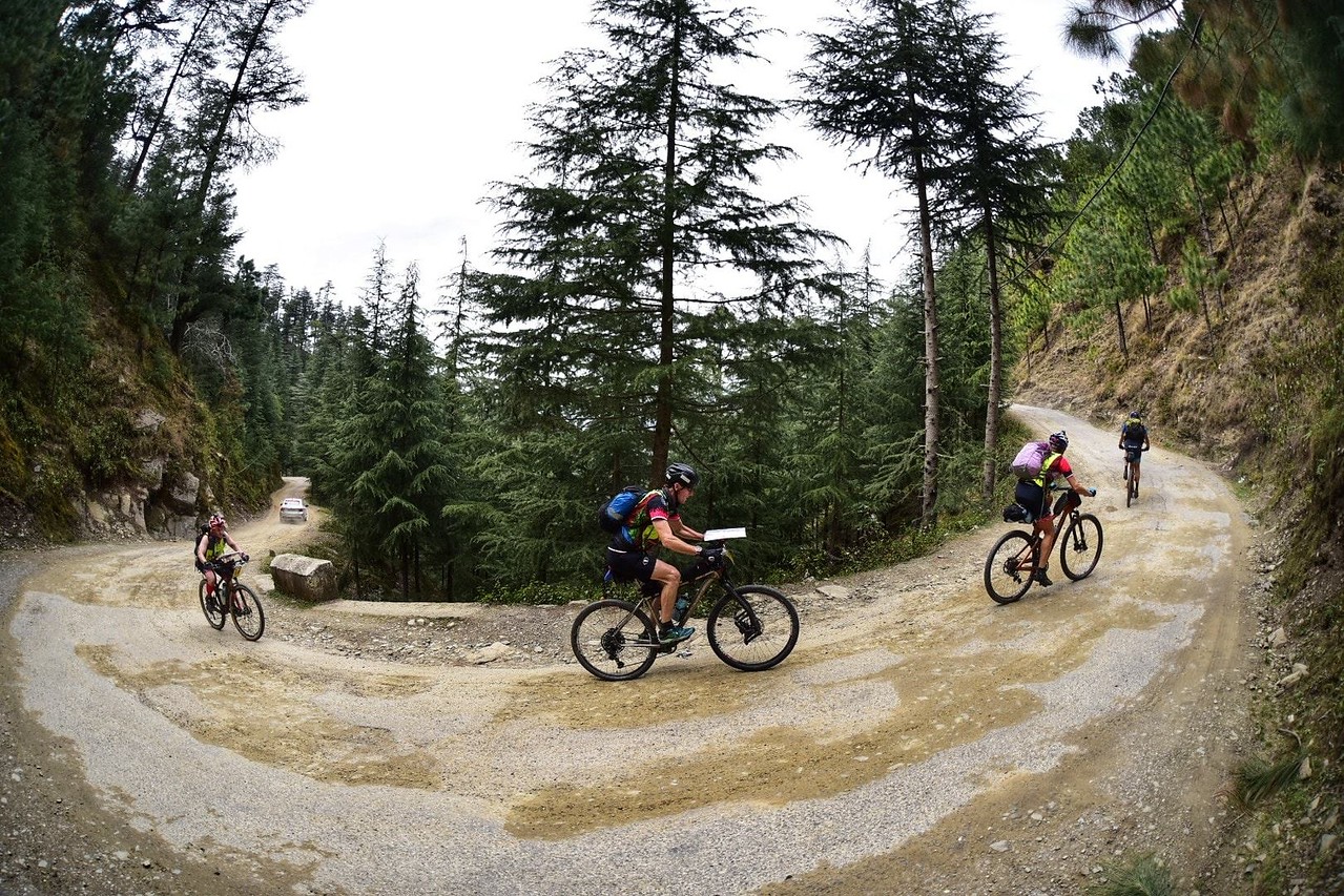
The takeout brought us to the Shenandoah River Park, where we’d dropped our bikes the previous afternoon. There, we had another short foot loop and then a longer mountain biking loop over smooth rolling trails before departing for a monster bike back over two ridges to Caroline Furnace.
We made quick work of the foot and then transitioned to our bikes. Within a hundred meters of the TA, we passed a den of baby foxes, cute enough to momentarily derail our focus as we marveled at their big ears and bushy tails. I heard after the race that by nightfall they were roaming freely on the trails, popping up to say hello to the teams behind us. We started this section by staying low, riding along the gravel rail trail to the farthest point and then working our way through the trail system on the return. We’ve ridden these trails in several past editions of the Epic, though rarely during the day, and it was nice to get a clearer picture of the park.
By this point, though I was still feeling solid physically, I was becoming increasingly aware of how long it had been since I last raced hard. I found myself lost in the discomfort of pushing, something that a few years ago felt so familiar but was now feeling foreign and unsteadying. I was in my head, narrating my own race – never a good place to find myself – and hanging off the back following along, rather than engaging with the course and my teammates.
And then, all of a sudden, I was riding through blinding tears. As I climbed short punchy hills and leaned into sharp curves, I sobbed and sobbed, broken open by the physicality of pushing myself and falling deep into the grief and loss of the past year. I let myself stay here for ten minutes, and then I gradually started to work my way back into the race. That is, until Brent turned around, took note of my stoicism, and asked me if I was okay. It was just enough to break me open again.
By the time we got back to the TA, I had recovered enough to choke down some food and join the rest of the team in psyching ourselves up for what was to come: sixty kilometers of punishing climbs, rocky ridges, and technical descents.
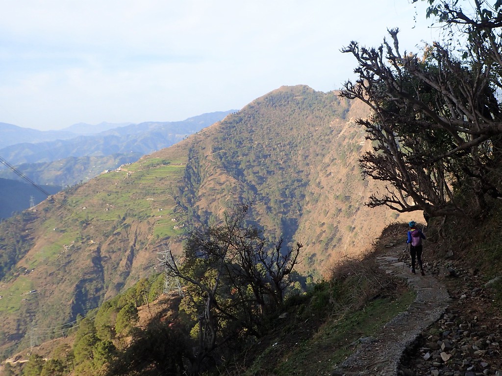
We started off with a few kilometers on road before turning up the trail for the first steep ascent through Veach Gap, another familiar feature from Epics past. I’ve been through the gap two or three times and had built it up in my head as something out of reach. But a funny thing happened – as we climbed, I settled in and found a comfortable rhythm, granny-gearing my way up to the top. In less time than I’d expected, we flattened out along the ridge and took in the last rays of the day’s sun.
From here, we rode several kilometers along the trail, my front tire – pumped up to a mind-bending (as in – who thought this was a good idea?) 40 PSI – bouncing off every rock. It was painstaking and frustrating, but I refused to let out any air for fear of slowing down on the (nonexistent) paved roads in the second half of the ride. Another example of my out-of-practice-ness getting the better of me.
It was around here that I realized that as I’d feared, I had, indeed, packed all the wrong food. The sweets that had looked so appealing on the grocery store shelves were becoming hard to get down, and I didn’t have anything salty to counterbalance it. What had I been thinking? I ended up surviving most of the rest of the race on coca cola and a few small chocolate croissants, and every so often I’d work on a peach ring or a York peppermint patty.
There was little distinguishing one trail from the next in my memory of the rest of this ride. Lots of rocks. A fire-tower. A sketchy, bouldery climb in bike shoes for an overnight CP. Finding Jesse Spangler’s map for the last section on the trail. Returning it to him a couple hours later. More rocks. The terrain was physical enough to prevent us from getting too cold in the near-freezing temps and technical enough to prevent me from falling too far down the mental rabbit hole of race discomfort. Still, I felt pretty beat up by the time we pulled into the final transition, traded in our bikes for running shoes, and set off a foot loop out of Caroline Furnace.
We started this section in the early hours of the morning and were sluggish and unfocused through the first few CPs. We lost time on one due to an errant clue – a CP location related to a bridge – and we got tripped up for the better part of an hour searching for a flag in a rhododendron-choked stream before sunrise. At this point, we were beginning to question our ability to clear the section, and we started to work backward through the rest of the course and triage our options.
We created contingencies – if we drop this point, maybe we can get those two. If we drop that one, we’ll have a clearer line to the finish. But as the sun rose and we found ourselves in an otherworldly open landscape – pocked by boulder fields and old burn – we found our groove again and began quickly ticking off kilometers with renewed focus and precision. We hit the furthest-most point, atop a big rock feature, and then took off running. As we got closer to the finish and the last of our CPs, we were buoyed by the sight of other teams.
At our final point, a culvert just a few hundred meters from the end, Jesse handed me the e-punch that he had been carrying for the previous twenty-three hours. You’ve worked harder for this one than I have, he said. You punch it. I descended the bank and found photographer extraordinaire Randy Ericksen, and I knew immediately that I was about to get wet. Sure enough, when I entered the small tunnel to retrieve the CP, I found myself nearly waist deep in water. A refreshingly fitting end to the day.

We ran through the chute at 8:26AM, with thirty-four minutes to spare. It was a far cry from the estimated twenty hours we’d anticipated when we set out (and we had our empty bellies to show for it). Jesse Spangler had finished twenty minutes earlier. We were the only two groups to clear the course.
The rest of this AR season is still a bit up in the air for the Rootstock team. We’ve got Oregon coming up – Nicki, Jesse, and I will be joining forces with USARA Executive Director Mike Garrison, a longtime familiar face on the race course who has become a close friend over the last year, as we’ve charted the new direction of the organization together.
From there, the team will head to our own Two Rivers Adventure Race, the Maine Summer Adventure Race, and hopefully Open Adventure’s Itera in Scotland, if the stars of public health and childcare align. As always, we’ll cap off the season at Nationals, this year in Wisconsin and hosted by Paula Waite at 180 Adventures.
I don’t know whether life will quiet down over the next few months. I don’t know whether I’ll find more balance, or eek out more hours each week to train, or get to bed at an earlier hour. But I do know that I’m grateful to find my way back to adventure racing, and to claim a little bit of normalcy in the wonderfully familiar discomfort of running around in the woods with my friends.
Surfacing

June 23, 2019. Do you remember what the world was like back then? An adventure race, rogaine, or orienteering event every weekend. Mingling with friends, new and old, in the parking lot as you warmed up, sorted gear, or turned in bikes and gear bins. Sitting around with a post-race beverage and plate of the best-tasting food in the world, bodies sore, bleeding, but spirits full. Most of us probably took this all for granted, at least to some degree.
On June 23 2019, I hit “publish” on my last race report, a typical, long-winded Ode to Joy to what was perhaps the best race I’ve ever done (Expedition India, btw). I would race only twice more that year, in Canada for my first Wilderness Traverse, and at USARA Nationals in North Carolina. Considering that Nationals had virtually no navigation and felt more like a glorified trail race, I feel like I haven’t adventure raced for real since August 2019.
And so, I found myself meeting up with Brian and Karyn for the 15-hour Brake the Habit Adventure Race, hosted by the dynamic duo, Michelle and Liz Faucher. Over the years, I haven’t been able to make it to most of the Adventure Addicts’ races, but they put on well-designed, creative, and rewarding events, and I was looking forward to getting back out into the woods for the first time since the Pandemic relegated us to the sidelines. I knew I would enjoy it, but I didn’t realize how much I missed our sport until we were flying along midnight roads, a full-ish moon illuminating rural Virginian roads and lanes, and a cool wind singing as we mingled with old friends from what has often felt like days gone by.
The Witching Hour
The race started at midnight, and due to schedules, geography, and pandemic considerations, Karyn, Brian, and I converged on Holliday Lake State Park separately. While unsuccessful at claiming extra sleep, I rested quietly in the back of the car for an hour or so prior to registration. We then quickly digested the maps, sorted gear, and made final preparations before dozing away an additional hour of pre-race rest, and then it was time for the pre-race briefing.

Through it all, I felt off. Not bad, not anxious, but something just felt odd about being there in that parking lot. I’m fortunate to be fully vaccinated, so it wasn’t concern of COVID. I’m quite comfortable being around people as a teacher who has been working in person since September. Nonetheless, it just felt strange and uncomfortable to be at an event again. The final minutes passed quickly, and then 75 or so racers converged in the parking lot for a short running loop that included three CPs and some legitimate navigation to spread teams out before we hit the bikes and sleepy roads of the state park and surrounding Appomattox-Buckingham State Forest.
We elected to do the loop in reverse order. I liked the route slightly better, and we also guessed that more teams would go the other way. We took off at a quick run; I led the charge, Brian and Karyn in pursuit, and a small herd of headlamps bobbing along behind, a few keeping us in their sights as we ran up a dark trail toward the first CP. In my effort to establish a small gap, I failed to keep a precise bead on our exact location, and I eventually had to reign it in, allowing a few pursuers to close the distance. Soon, I spotted the CP, we bagged it and pushed on, once again gaining some distance before being reigned in once more as we neared the second point.
At this point, we started to cross paths with the teams taking on the prologue in the other direction, and after punching the second point, we had a longer run back toward the third and final point near the TA. We started to legitimately escape the field and were feeling great about our fast start and execution of the unspoken plan to get out quick. My uncertainty from before the race had evaporated, it felt great to have a map in my hand, and we were already having a blast as a team.
As we hit the road and turned toward the TA, all lights behind us gone, Brian called “Just one more box to punch!?” My smile vanished, I slowed, and I rolled my eyes as I realized I had completely forgotten about the third point on the leg. I knew the year and a half away from the sport would rear its head at some point, but twelve minutes into the race? And so, I banked a left onto a nearby trail, now a bit disoriented as I had my sights firmly set on the downhill road run to the bikes. We charged through a small web of trails, and by some combination of luck, intuition, and rough map-reading, we made our way to the final CP without much trouble. We lost time and the advantage of being out front putting pressure on other teams, but it seemed like we hadn’t given up too much time to other racers despite the careless mistake.
Back to the bikes, a quick TA, and we headed out, charging after the eight or so racers that beat us out after our flub. The next 30 miles unfolded with little drama. One tricky trailhead aside, the route was straightforward and relatively fast. The issue confronting us now was that none of us were in race shape, especially with riding, and all the other racers at the front of the pack were all strong racers and riders. So, we settled in, focusing on a steady paceline, and simply trying to keep things close.
On occasion, it became clear that at least a few others were making minor mistakes, and when we reached the first TA, we found virtually all of the leaders still there, joined by a few short course teams it seemed. Buoyed by this realization, we TAed quickly, beating most of those there out into the woods for the big rogaine, knowing we were in position to take advantage of what felt like the crux of the race.
Knocking the Rust Off

We made quick work of the first CP, speeding away from a team not far behind us, and then we had our first taste of the glorious rhododendron labyrinths sprinkled throughout the woods. Thankfully, we had seen worse, so other than getting tangled a bit and spending a few minutes wandering about aimlessly, we made it through and got on track. Until we couldn’t spot the next CP. It was plotted on the stream in the reentrant we were walking up, but no dice. Ultimately, we bypassed it, likely missing it due to the random thickets in the reentrant and the fact that it was not quite down in the bottom as expected.
From there, we settled into a rhythm: knock off a couple of points, bobble one, knock off a few more, bobble one. The woods were more passable than we expected, though there were indeed pockets of little thorny, rhodo nightmares that would briefly ensnare us. Even then, we remarked on how much we missed a good bush-bash, torn tights, and the burn of scratched, ripped skin.
Roughly halfway through the loop, after having the woods to ourselves for 90 minutes or more, we ran into Odyssey Masters. Along with a few other teams, we expected Odyssey to be in the thick of it until the end, and we anticipated that the race would come down to the final checkpoint or two. To be fair, running into Ronny and Dirk in that moment helped as we had become a bit disoriented on our way to CP20. It turned out we were more “found” than expected and that we were, in fact, quite close to the CP (I was surmising that in my rusty state I had botched the approach and we were still a large ridge away from the attackpoint).
From there, everything fell into place. As it turned out, the second half of the rogaine (based on our route) was a fair bit more straightforward and travel was faster thanks to more trails and roads. We nailed the last half of the section and pulled into TA just after sunrise accomplishing our goal of taking the lead. We had 10-15 miles of biking left, and the teams who we had been working hard to hold with to start the race would now be trying to run us down.
Our TA was slowed by a tire that needed some love, but we still managed to sneak out before anyone else rolled in. A minute or two out of TA, we saw Ronny and Dirk emerging from the woods, and as it turned out, Jesse Spangler and his new to AR neighbor, Brent, finished up around the same time, as did Glen and his teammates from Adventure Enablers. We didn’t have all that information, but we guestimated that we had 7-10 minutes on Odyssey and whoever else might be emerging from the woods as we set off. Not enough time to feel comfortable since we weren’t feeling strong on the bikes, but enough to give us a surge of urgency to really start racing.
Into the Oven
The bike back started with a fun bike-O in a pine tree farm. The morning was still cool, things were a bit misty in places, and the sun was glowing warmly on the horizon. The farm was wide open and serene, and we had a blast cruising around, nailing the CPs. Occasionally we would look back or scan the wide-open grass under the rows of pines, but we didn’t see any sign of our pursuers.
As we bagged the last point, however, we crossed paths with Adventure Enablers and Odyssey. A bit perplexed to see them there, our hearts sank a bit, but we quickly puzzled out that they must be doing the section in a different order. It was an interesting decision, and while it allowed them to ride out of the small rogaine on paved roads, it added some distance. As it turned out, our exit route was more linear and the road surfaces were solid, so we cruised on, banking some additional time.
Nonetheless, we tried to hammer the roads as much as possible, hitting the final two controls and working our way back through some trails to the final TA at the start/finish on Lake Holliday. We TAed quickly and hit the water with no sign of the teams chasing us. For the final section, there were four CPs on the lake, and we had to hit them in order, which meant crisscrossing the small but scenic lake a few times. Additionally, there were two clusters of three CPs, to be hit on foot, and teams could drop their canoes whenever and wherever to hit these points. It was a fun, strategic final section, and we were pleased to have held our lead going into the section as it would allow us to assess where the competition was as we paddled.
As it turned out, we had built our lead more substantially than we realized. We hit the first CP and were almost to the second one before we saw any sign of other racers, meaning we had extended our lead to nearly half an hour. We didn’t coast, but we knew that if we stayed focused and efficient there wasn’t enough race left for teams to clear that leg ahead of us. It just wasn’t long enough. So, we savored the last hour or so of the race, enjoying the cool-water and hitting the final points on foot which included a scenic dam and spillway, a fun climb up a rocky ridge, and a beautiful, sparkling cascading stream. We crossed paths with a bunch of the rookie 6-hour racers, cheering them on, before pulling up to the finish around 1030 AM, and mercifully, before the heat turned on in its entirety.

Behind us, Jesse Spangler and his friend, Brent, took control of second place. We had been crossing paths with Odyssey for the entire race, and we had seen Adventure Enablers on the trek and the bike. We hadn’t seen Jesse and Brent since the first bike so were surprised to see them pull up in second place, 25 minutes behind us. Odyssey finished another 12 minutes or so behind them, and Adventure Enablers ended up about an hour back from us.
Considering that we hadn’t been training much, the mistakes I made on the course, and the quality of racers on these top teams and others at the event, we were pleased with the result. It’s always frustrating knowing you could have and should have shaved off another half hour or more, but our team chemistry and teamwork were as good as always. Considering that we hadn’t really done an adventure race since summer 2019, it felt like a perfect race to ease back in.
Hopefully, we build on this one going into the rest of the season, though I wish I could feel more certainty that the rest of the season will go as smoothly as this race did (from an organizational, COVID, permitting standpoint). Sadly, as I write this, stories of a fourth surge and calls to tighten restrictions are swelling. Infections, deaths, and hospitalizations are climbing back up, all reminders that we are fortunate to have the opportunity to play in the woods the way we do and also that there are more important things going on in the world at the same time. Fingers crossed as a racer that the Epic goes well in a few weeks and that we get to do the big ones we have on our slate for the year: Expedition Oregon, ITERA, and USARA Nationals, and fingers crossed as an RD that we will be able to go ahead with our Two Rivers Adventure Race in May. If only, everyone could spread out in the woods the way adventure racers do!
For me, a long night out in the woods was rejuvenating and spiritually fulfilling even more so than I expected it to be. I hope that this weekend marked the beginnings of a return to normalcy for me and my team, a surfacing from a long, dark nightmare, rather than a brief gasp of air before being submerged once more. If things don’t go as we all hope they will for the 2021 race season, at least I’ll have this one to look back on.
Thanks to Michelle, Liz, and their amazing volunteers for making the event happen. People don’t understand how hard it is to direct an event in normal times, and Michelle and Liz are among the best of the RDs out there. They managed COVID protocols well and still fostered a comfortable, communal atmosphere. They designed an excellent course that was challenging, beautiful, interesting, and fun, and they expertly balanced the 15-hour event with a sold out 6-hour one full of eager, enthusiastic new racers. If we as a community can harness the energy swelling behind AR right now and the fact that everyone is rearing to get lost in the woods, our sport is going to have a welcome resurgence when this is all over!
Amazing India
WHY EXPEDITION INDIA? BECAUSE IT’S THERE
As some know, I am a secondary school teacher, which often means, my choice for the year’s expedition race is dictated by school schedules. When Expedition India popped up over the winter and I saw that it fit my spring break, I jumped and started working on finding some teammates for the event. This said, it quickly became apparent that there were a multitude of other reasons to be excited about this race.
First off: it was set to take place in the Himalayas. How many adventure racers can claim to have raced among these lofty, hallowed peaks? True, these were more “hills” compared to the icy, deadly spires of Everest and K2, but I’ve never been to a mountain range with 3000 meter foothills.
Second: Heidi, Stephan, and their team from Kinetic Events in South Africa have built an amazing reputation, both from word of mouth but also from their impressive efforts in the world of social media. I wasn’t sure if the hype would live up to expectations, but I knew we would be in good hands.
Third: Culture. As much as I have loved many of the hundred-plus events I have competed in, including 11 other expedition races, none offered anything that would compare to the rich cultural heritage of India. Stories from Eco-Challenge and Raid Gauloises ooze with interactions with the locals. While I have interacted with locals before, I wouldn’t claim this as a defining experience in any past race. Instead, “local culture” has led to encounters with the sort who cruise around in oversized trucks, who go running inside when you want to use their garden hose, or who marvel that anyone would want to walk for a few miles, much less race for a few hundred. I had a sense that India would offer the ethnocentric adventure that seems to have somewhat vanished from many races.
Putting together a team was a challenge as Abby would be 6 months pregnant at race time, and my other normal Rootstock Racing teammates were out of action for various reasons. For a moment, it looked like we would reunite our team from Tasmania in 2018 minus Abby, but that didn’t quite work out either. If I had one complaint about the entire Expedition India experience, it was that we had very little lead time with information to plan and ponder, and this made it more challenging to organize teams and logistics and secure commitments. Finally, in mid-January, all the pieces fell into place. Ryan VanGorder and I would represent our Tasmania team, Jen VanGorder would replace Abby, and long-time expedition teammate, Mark Lattanzi would step in to fill out the squad. But while all the normal pieces were fitting together, some unpredictable developments unsettled me as the race approached.
GETTING THERE: YOU KNOW WHAT THEY SAY…
That old cliché about getting to the start line? Multiply it by 50 for Expedition India, at least for me. All of the usual challenges of flights, bag-weight, shipping bikes, etc. came into play. Add onto that securing a visa (not that hard to be honest, but still, there are companies selling FAKE visas to India, so have fun with that) and updating a host of vaccinations, some of which left me ill for a few days.
I also had the unfortunate experience of coming to grips with some unforeseen health issues leading up to the race starting with a persistent cough that literally started back before Nationals in September and continued until mid-January when I started an intensive regimen of inhalers, antibiotics, and nebulizers. The diagnosis? Long-standing asthma. During my initial visit to the specialist, the doctor told me I “have the lungs of a 60 year old, and if it wasn’t for how active you are, you’d be laid out on the couch”.
Huh…
Rather excited about the diagnosis, I dove into the treatment, cleared up the cough…and then went on to have some bad reactions to the medicines with less than two weeks left before flying (or so I thought; to be honest; I’m still sorting all this out, and I’m not sure if I have gotten to the bottom of it or not). Ultimately, after visits to the specialist and my primary, I decided I needed to cut off the treatment. Not ideal, but at least the cough was cleared up and I figured that I’d be OK considering I’d been unknowingly racing with asthma for years anyway.
Still, this added a level of anxiety that I could have lived without going into the race, and ultimately, I most certainly did not feel like myself.
Crammed into the back of a minibus, 2 AM, Delhi. No rules in India when driving an…anything…
As for the travel itself, I took off from Philadelphia on a 9 PM flight to Doha, landing 14 hours later for a short layover before continuing onto Delhi. Once there, I met up with Mark in the airport, we haggled for a taxi that whisked us off in the middle of the night for our first taste of lawless driving in India, and we arrived at the crumbling Centaur Hotel at 430 AM, disoriented, exhausted, but also humming from our first experiences in Delhi. Heidi greeted us to my horror (I couldn’t believe it when the front desk called to wake her up; let her sleep! As it turns out, she had instructed them to call her upon the arrival of every team so she could greet them. That’s how they do it at Kinetic Events.), and we then settled into a room for 4 hours of fitful sleep.
The “next day”, the field met at the Centaur for an afternoon rendezvous, we boarded busses and settled in for a 12-14 hour bus ride that ultimately took 20. Harder than the race? Ultimately, no, but I’ve never had a journey like that to get to the start line either.
MANALI: A JOURNEY BEFORE THE JOURNEY
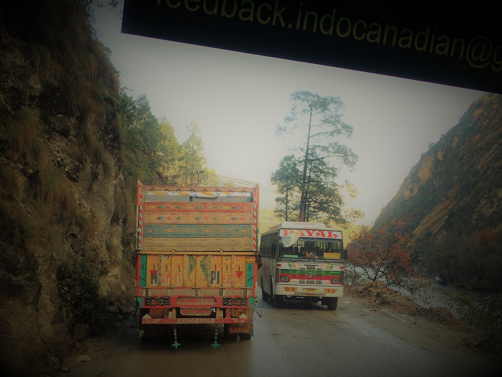
We boarded the busses ready for a 12-14 hour ride to the start (I swear, the number started at 12, and then it was 14…then 16 hours…), and we all were alert, watching the wild street-life of New Delhi as we drove north toward the mountains. After an hour or so, we had barely made any progress amidst the unimaginable traffic patterns of the sprawling metropolis. Roads meant for 2-3 lanes of traffic swelled with twice that volume, cars, trucks, motorcycles and livestock all meshing into a sinewy morass of moving parts that steadily but slowly pulsed, never quite stopping but never freeing up either. I think we all were waiting to hit a highway, but instead, the coaches maneuvered into an impossibly small parking area at the HQ of the Indo-Canadian Bus Line.
Pre-Race welcome from Indo-Canadian
Here the sponsors who supported the event and our “transportation experience” greeted us warmly with a bit of Holi paint, some snacks, and some opening remarks (Grant, seriously, you have some work to do to match what we experienced in India). It was an uplifting welcome to the chaotic sounds, smells, and sights of India, and all racers began to get a clearer handle on what we were in for as this didn’t help the time estimates for our trip to Manali.
By the time we re-boarded the busses and headed north, the sun was setting, and appetites began to rumble. We did stop for a break to relieve ourselves and to eat, but this would be one of the last stops until sunrise, which made for a long night as the busses lacked bathrooms, and everyone was on vastly different internal clocks.
While I can’t say I “enjoyed” the 20 hour bus ride to Manali, I also was amazed that I was still sane when we finally disembarked. Traffic did finally clear outside of Delhi, and we made good time to the mountains afterwards despite one more head-scratching detour to another Indo-Canadian office. Once we crossed the threshold of the Himalayas, the bus shifted into low gear for an endless, serpentine, pilgrimage along narrow, mountain roads framed on one side by steep, land-sliding slopes and on the other by precipitous eroding cliffs falling away in the darkness. Glowing shrines dotted the road, the hilltops on the ridges, and the valleys around us, and despite the fatigue from a relatively sleepless trip thus far, I was captivated by the journey while most of the other racers snored in the bus behind me.
Relatively wide road in the Himalayas
The night and morning passed, as did endless mountains and canyons. The orange-turbaned motorcyclists complete with flying banners amidst severe, dusty roads and landscapes conjured images of Mad Max, raging rivers cascading through the narrow mountain valleys below us left us in awe, and the constant battle with the oncoming traffic drew both smiles and gasps as we made our way onward toward Manali.
The drive to the start was breathtaking and constantly engaging
Finally, the busses pulled off, and we transferred bags and bodies to mini busses. We were a mere 7-10 km from our final destination, a welcoming, warm, cozy lodge, but it would take another 90 minutes or so to traverse this final stretch of traffic-jammed mountain madness. 20 hours after boarding the busses at the Centaur in Delhi, we disembarked at the Anant Maya Resort, a genuine slice of heaven relative to the Centaur and the refuse we had been driving through for the past hour. Perched high above the river valley below with soaring, snow-capped peaks looming in the distance, the manicured lawns and walkways of the resort offered welcome reprieve from the epic journey before the real adventure would begin. I think everyone was grateful to collapse for some rest, and we were once again welcomed with kind words from the hotel’s staff who outfitted us in local, customary woven hats.
PRE-RACE: NERVES
Holid up and ready to go!
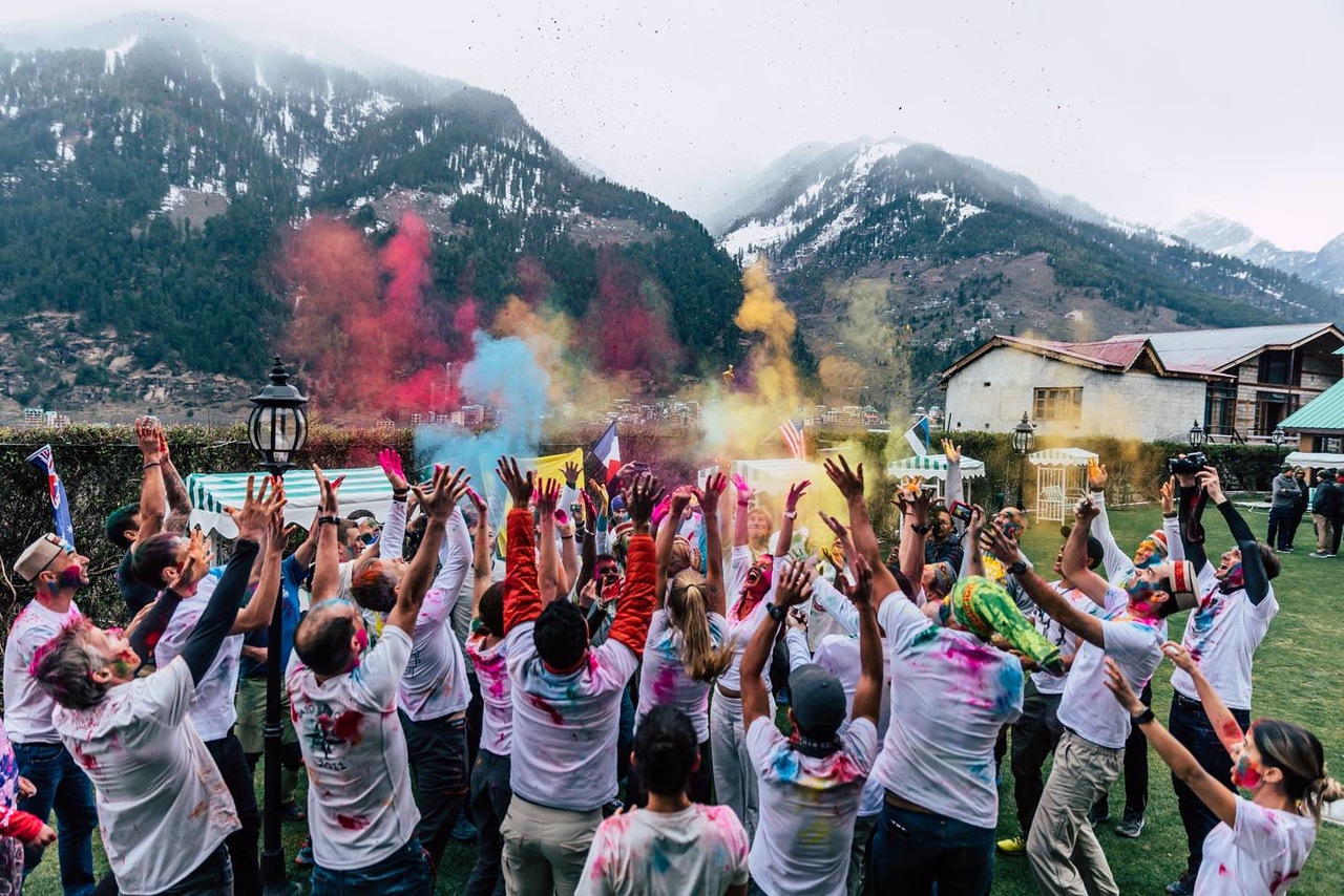
After a very, very hard nap, we woke up for an Expedition India-only Holi celebration. It was the sacred day of Holi, but in Manali, they had celebrated a day before. I was a bit disappointed to miss the colorful extravaganza in the streets, but our joyful moment in the hotel’s courtyard was a suitable substitute as racers and volunteers mingled, smearing each other with handfuls of colorful powder.
Expedition India Holi celebration
We then caught a taxi downtown, all organized and provided for by the RDs, wandered Manali for a couple of hours and did some final shopping for the event. The narrow streets and alleys of Manali were mostly carless and full of delightfully dark corners, shops, and passageways. From there, it was back to the hotel for one of the many delicious buffet meals of curry, naan, and a host of other Indian dishes that we would consume leading up to race week. This was AR luxury.
The next day was largely spent doing the expected song and dance that precedes any major expedition race. Skills tests, gear checks, initial briefings, distribution of the first two legs’ maps, welcome speeches from the RDs and local sponsors and magistrates, and a wonderful local dance led by four Manali youth on the stage that really picked up when the VanGorders led the charge up onto the stage. All of this was conducted at the Manali Mountaineering School, a quiet, peaceful escape from the hustle and bustle of the town, set amidst towering pine trees and well-manicured courtyards and pathways. The theater was an absolute ice-box, but the sunshine was warm, and I think everyone was starting to feel the impending race start the next day.
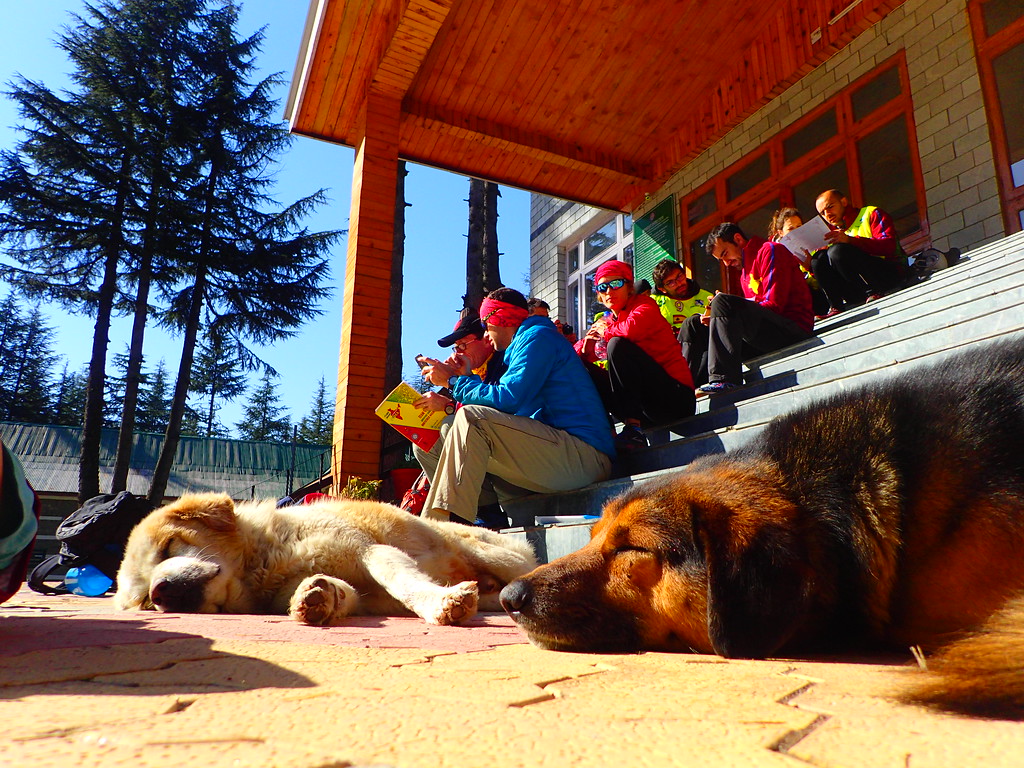
Studying the first maps with some beautiful Himalayan dogs basking in the sun
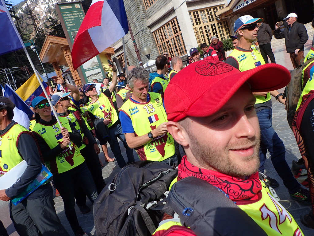
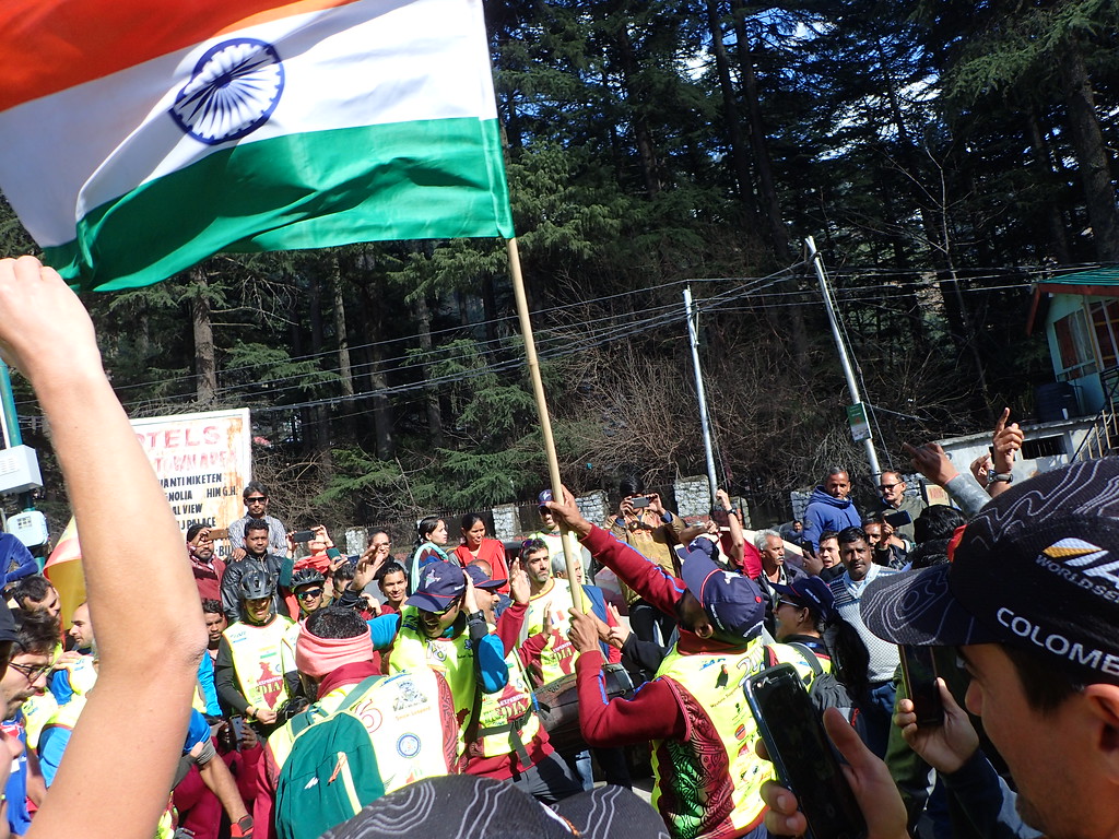
Opening ceremony parade, Manali
And the next morning arrived sooner than I would have liked. We spent the rest of the evening before finalizing our bags and boxes and turning them into the race staff before settling into what would be, for me, a fitful night of sleep. I wasn’t feeling myself, anxious about my lungs, energy, and performance, and before I knew it, the alarm was sounding for an early morning departure to the start line.
Of course, however, it was India, so the start was delayed. Freezing temperatures and landslides meant that the planned start was inaccessible (actually, from what we heard, the true planned start had long ago been abandoned as the race was once expected to start with an epic trek that was scrapped due to a historic snowpack, lingering longer than it should have). Instead of eating and jumping onto the minibuses, we loitered in the lobby, dozed, ate, and waited.
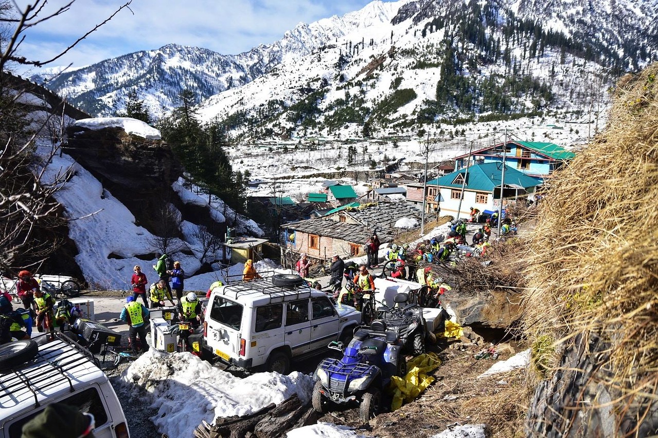
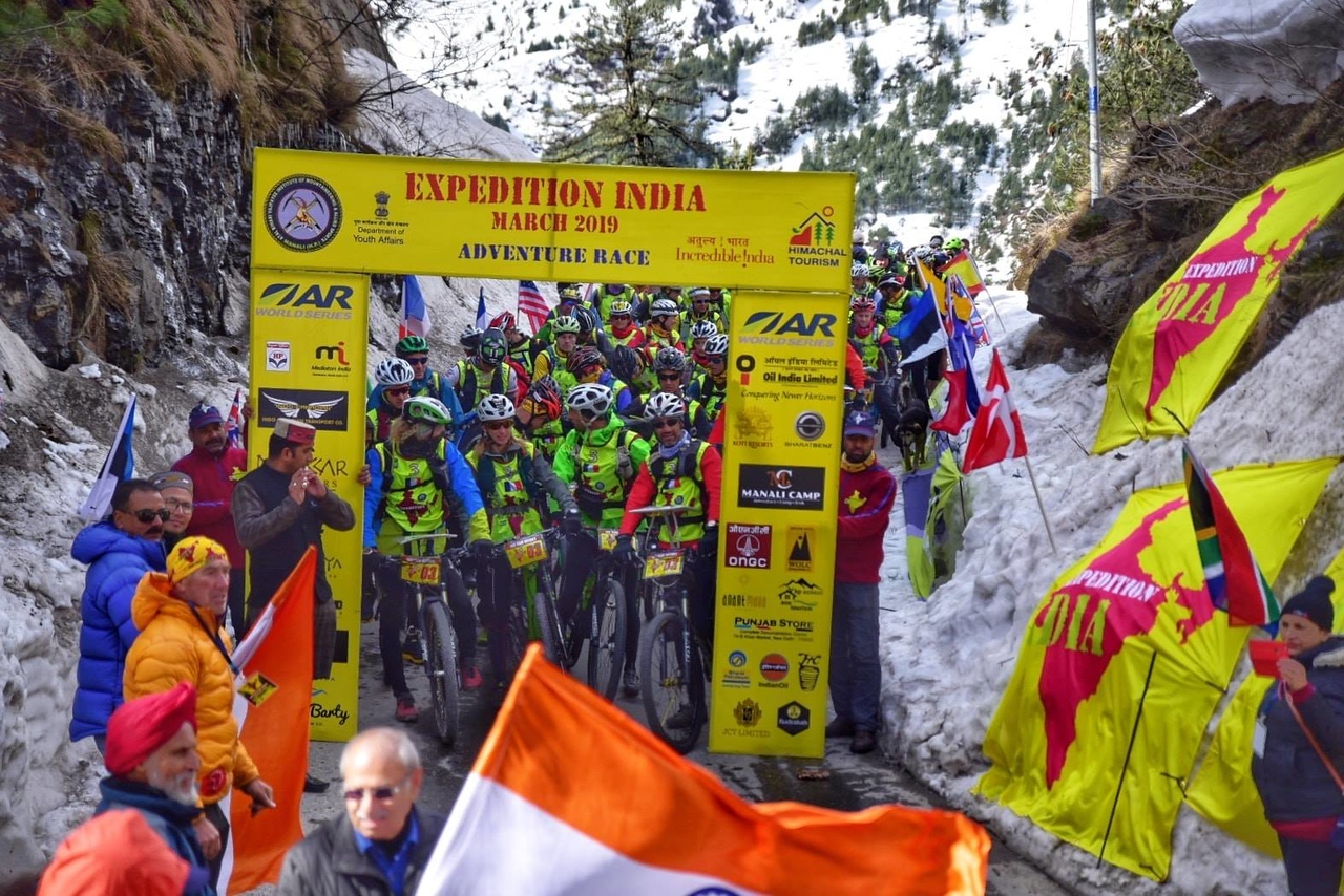
A couple of hours later, we finally made our way to the start, a modified venue on a narrow, twisty, village road far up the valley above Manali. It was an incredible location: bike boxes in corners between vehicles and looming snowbanks, livestock wandering among us, an occasional vehicle frustrated by its inability to pass 100 racers from all over the globe. With nervous energy, we built our bikes, ate a bit more food and then converged behind the starting line arch. The backdrop of the snow-covered Himalayas was spectacular, the most incredible start line I have ever toed.
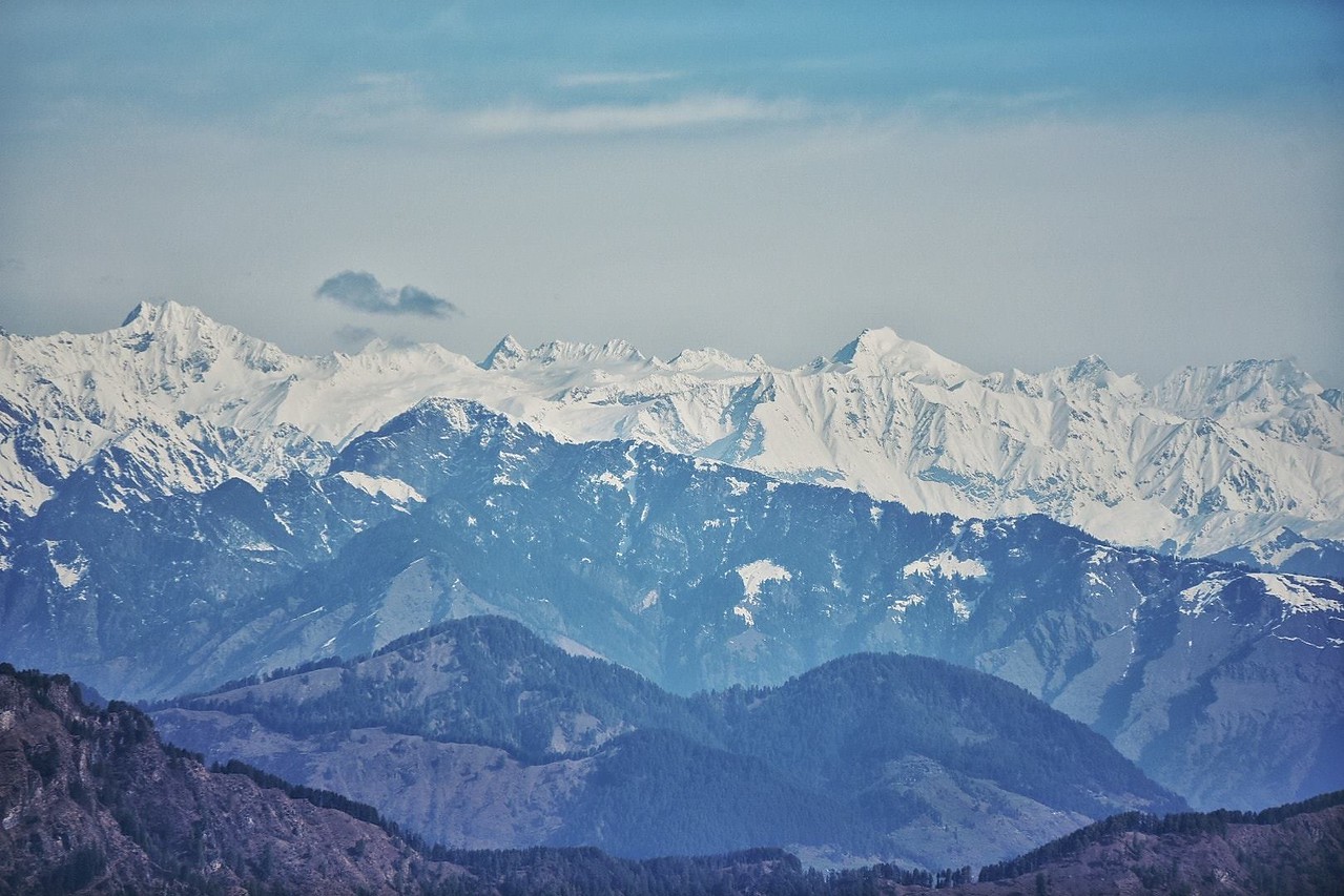
The Himalayas
STAGE 1 AND 2: MURPHY’S LAW
Building bikes before the start
It was a cautious start as we all jockeyed for position, descending a one-plus lane road to the valley floor. Occasional slushy ice slicks, cattle, ATVs, larger vehicles, and snow banks made for a white-knuckle start, but once at the bottom of town, we crossed a bridge and found ourselves on much quieter country lanes with the Himalayas towering around us. The first several checkpoints went well enough, and it seemed some teams were already floundering a bit with navigation. We made steady and efficient work through the first three points and then hit Manali and our first sustained climb amidst a sea of smog-belching vehicles.
The modified start line. Not too bad.
The fourth checkpoint hung in the lobby of the Anant Maya Resort, our home for the days prior to the race. By the time we reached the hotel, a knife had burrowed itself into the center of my chest, I was gasping for air, and I had to stop for a moment to dig out the emergency inhaler I had brought with me. I puffed away, repositioned my buff over my mouth, and we set off for the rest of the ride, the traffic largely clearing out past the lodge. The air was still thin and dusty, and this would induce a fair amount of suffering for me due to my breathing for the four days of racing, but it was better than the oil-slicked air we raced through in towns.
And so we started to settle in. It became clear that I didn’t have the pop for the uphills, but there was enough down to make up for it. That said, we found ourselves confronted with a new annoyance as Jen dropped her chain two or three times in that first hour or so of racing. No big deal we thought…until it was.
We had paused in a village to look at the map, and then I set off to get ahead a bit, knowing the team would catch up. We were in fine position, sandwiched between Indian teams (which had completely blown up in the excitement of their first adventure race, individual riders kilometers apart from their teammates) and strong international teams all around us, but as I cruised down through a town, I noticed my teammates had lingered back and vanished. I paused, watching as a number of teams zipped by.
Finally, Mark arrived, noting that Jen’s bike had broken down, the chain falling off once more but taking some part of the drive train or something with it. I never really figured out what happened, but when we rode back up the road finally, we found a scene of utter chaos as Ryan was huddled by the bike, a horde of Indian men and boys pressing in around him, trying to help but mostly just observing, violating personal space, and generally heightening the anxiety that accompanied the moment. It wasn’t our first “We’re in India” moment and it certainly wouldn’t be the last, but it was a disappointment to lose an hour or more between the time it took to fix the problem, and then the impact it had on Jen’s riding.
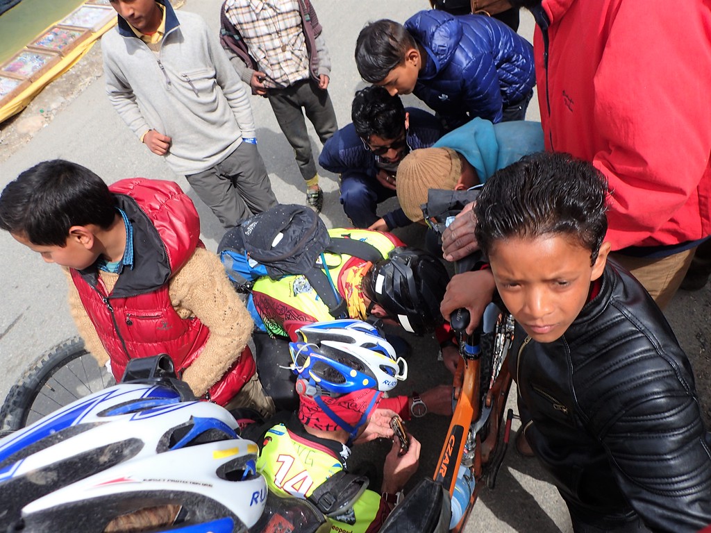
Friends are not always helpful when trying to fix a bike
Unfortunately for Jen, she found that if she stopped pedaling, letting the hub spin, the chain would get sucked back into the drivetrain’s hungry maw, so, she had to make sure she kept the gears engaged, not always the easiest feat, and a requirement that meant she had to actually ride slower on downs and flats to protect the bike. Our pace slowed, which actually was helpful as it gave me a chance to calm my lungs down a bit, but morale deflated a bit.
Nonetheless, between my breathing, the stops for the bike, the full breakdown, the subsequent loss pf pace, a small nav bobble, and our first experience navving through complex villages on 1:50,000 maps, we fell way behind most of the field. That said, it was also evident that this race was going to be something special: the mountains soared in every direction, the villages we climbed through were captivating with narrow stone-flagged pathways, a mix of stone and wood architecture including amazing rough, slate tile roofs, footbridges, prayer flags, shrines, and temples. Curious and mostly friendly looks greeted us at every turn. The charm of the villages and genuine kindness of the people stood in stark contrast to the clear poverty and environmental pollution that accompanied that poverty and their daily habits regarding refuse and such, but the good outweighed the bad and despite all our issues, those first few hours were spectacular.
First exposure to navigating a village’s unmapped pathways
We pulled into the zip line, and Mark and Jen took the honors of soaring on India’s highest and longest zipline, a magnificent ride across a huge valley. I took the time to settle down my breathing, eat, drink, and study the maps. Several Indian teams were in the CP with us and were asking about the previous checkpoint, insisting that it wasn’t there. We told them it was and talked a bit with Sharla and the race staff about the clear fish-out-of-water syndrome some of the Indian racers and teams were exhibiting with their wild riding and lack of understanding of some of the rules and navigation. Still, it was inspiring to see such novice teams taking on such a huge event.
Mark zip-lining with style. Look at that form!
And there goes Jen! Say a prayer…
Finally, we set off, making fine work of the rest of the leg until the final CP. We passed a few of the Indian teams who were ahead of us and dropped down to the final CP. And once again, we were met with some frustration as we lost 20 or more minutes searching for a CP that had been removed…or never placed…It was never clear, but we know that many of the international teams who were there earlier were told to skip the CP. We didn’t get that message, presumably because the CP had been put out after the rest of the field had passed through…but then it was taken? No idea.
The “silver lining” of the lost time was that on our way out we were brought to a stop by a funeral procession. A large group of men stumbled down the dirt path we were riding on, carrying a pier. Ryan heard some chatter indicating that one of the young men bearing the colorful platform laden with textiles and a body was mourning for his mother. We moved to the side of the path and stood still, watching as the men marched past before turning down a side path to the river where they presumably were going to cremate the body before casting the remains into the Beas River. It was a powerful moment that washed away the frustrations of the lost time and missed CP, and one I don’t expect to ever experience again in an Adventure Race. Only in India.
From there, it was a quick ride to the TA. There we found that we were indeed near the back of the pack. We were firmly behind all of the international teams, and there were only four or five Indian teams behind us, two of which pulled in shortly after we did. The international field of teams for this race was as deep and experienced as any I’ve seen outside of Worlds and perhaps one or two other events. There were no easy outs, and it would become clear by the end of the first night that a couple of local teams had some real ability as well including a strong team of Nepalese soldiers and a couple of the Indian teams. They didn’t always follow the rules perfectly, but they were strong athletes who caught on very quickly to Adventure Racing even if they didn’t always have the right gear with them or if a local picked them up for a rest in a friend’s house. In short, we had our work cut out for us. Maybe we’d get lucky on the white water raft…
Right…our guide fell out of the raft on the first rapid. We weren’t going to be making up any time on Stage 2. In fact, we all just stared at each other wide eyed on the journey down the river, laughing and resigned for the first few hours and then quietly revolting, generally ignoring the guide’s commands that more often than not called trouble down upon us rather than keeping us in the right channels of water. He was, to be fair, remarkably effective at getting us out of trouble, but he also was frustratingly good at getting us into danger we never should have been. On several occasions, we found ourselves trapped precariously on boulders, a lean away from capsizing, and he had a tendency to float into a line with no plan only to freeze up at the moment when a firm decision could have kept us moving forward.
Ultimately, we pirouetted down the river, spinning in circles at least once every few minutes and ramming just about every rock and boulder the river had to offer (I’d like to admit this is all for dramatic effect, but sadly it is not). Considering it was a massive glacial river, there were plenty of those to hit. At one point, we smashed into a particularly large boulder and our guide launched forward, his face ramming into one of the cross pontoons, his neck snapping back. Jen and I both hollered out, convinced our guide had broken his neck, I began to immediately move back to the stern of the raft as we were in the midst of a maelstrom of whitewater, Ryan and Mark paddled furiously while looking back to see if our guide was able to move. Thankfully, he somehow avoided serious injury, and he popped up with a sheepish smile before returning to his position in the back of the boat. I expect he might be in traction today…
Despite the fact that he couldn’t correctly direct us to paddle right or left, it was still a magnificent journey. The water was filthy, but the rapids were impressive and fun, and the Beas River dropped through countless villages and towns. Once again, the contrast between life and joy and desperation was stark. We passed a burning funeral pier halfway down, dead animals spotted the banks of the river, a shantytown built on a burning trash heap complete with rooting pigs and playing children drew our stares. But joyous couples rafted alongside us, prayer flags fluttered on cable far overhead, and the mountains, always the mountains, loomed all around.
I think we were all grateful to say goodbye to our guide, but it was an amazing experience seeing the heart of Indian towns from the river, a significant and holy feature in Indian life. In the TA, we were pleased to find a couple of international teams and some Indian ones still in house. Super volunteer Craig welcomed us with warm smiles and confirmed that many of the teams had similar experiences, which didn’t surprise us. We had an efficient TA, though some small tike swiped my hot meal, I plotted the maps and we set off, dry and warm for the first big trek of the race. The sun was setting, we were two hours, give or take, behind where we probably could have been with a cleaner start, but spirits were high. We were going into the mountains.
STAGE 3: IN INDIA, THERE IS ALWAYS A SHORTCUT
The start of the trek went well enough once we cleared the smog and grime of the town around the TA. After the first CP, we navigated up a streambed as darkness fell, making good time and passing a team or two. The second CP also went smoothly, and then we had our first big climb up the steep slopes of the Himalayas. We hit a road which took us most of the way to the third control, a point that directed us into the mountains proper.
Here we stumbled as all the features pointed us toward a CP-less location. We spent 20-30 minutes stumbling about in the dark before continuing up the access track, an old road bed that ultimately took us straight to the CP. After the race, Silver Ensaar agreed that the CP was mis-plotted. In general, over the course of the race, he and other strong teams seemed to make the exact same nav mistakes we did. Much of the mapping was done by hand, it was rough, and it was 1:50,000 scale. Minor complaints, but a couple of these plots really didn’t seem entirely accurate, or they seemed open to random interpretation.
CP finally punched, we started a massive climb up a steep, pine-tree covered slope. It was our first time escaping the pollution and chaos of inhabited India, and it was truly magnificent. The air freshened, the refuse dissipated and quickly vanished, and the wilderness of the Himalayas emerged in its full grandeur. I also quickly found that I couldn’t breathe due to the asthma and elevation, and within five minutes or so of ascending, the team shouldered my pack and gear. Even then, I felt sluggish climbing the mountains, and I realized that I had left my rescue inhaler on the bike as it’s something I’m not used to racing with. This would make for a very long trek for me and a pattern was quickly established: on the climbs, the team would take most if not all of my weight, I’d slog it out, focusing on forced rhythm breathing, and we’d slow our pace. Not ideal when you are trying to make up lost ground, but it was our reality for the race. Altitude was kicking in as well, which didn’t make it any easier.
We climbed into the night, finally topping out. We actually passed another team or two despite the sluggish pace, and then we set off for a long traverse of a ridge. We elected to side-hill most of this traverse below the snowy summit, using a network of village footpaths and animal tracks. We made good time before turning upwards to attain the summit where we broke out into the remnants of alpine snowfields. Not too deep, but deep enough to slow us down a bit. Finally, we crested the ridge, and then we dropped toward the lights of tiny Himalayan hamlets that offered a mapped footpath. Whoever lived in these magnificent wood and stone havens slept through the barking dogs that welcomed us, and we did pick up an impressive stone pathway, sometimes a ribbon of cement, at other times a well-constructed trail of flat stones. In the distance, we could see headlamps of the mid-pack and forward teams up on the snowy slopes of the high mountains we were heading for.
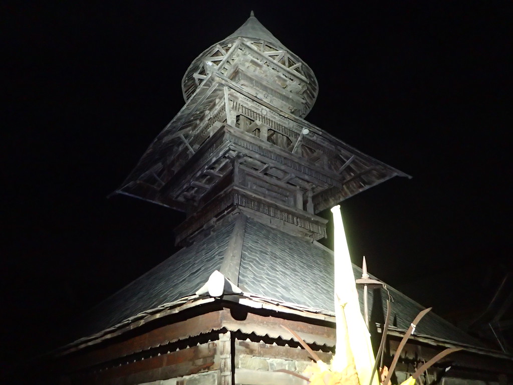
Prashar Temple by headlamp. The temple complex was vast and sprawling and begged for more time and exploration than we had to give
Time passed, we made steady progress, and we finally reached the track up in the snow where we had seen teams as we navigated the villages. We made good time for the next CP, a spectacular wooden temple complex on a high mountain lake, nestled below peaks and complete with a perfectly circular, floating island. Here, at Prashar Lake, we found two teams that either were ahead of us or whom we had passed on the ascent. We think they passed us back as we traversed the ridge, but we never confirmed who that might have been. Nevertheless, they settled into the temple for a bit of sleep and we pushed on, heading for the final stretch, a route that seemed to travel by trail and villages to the TA.
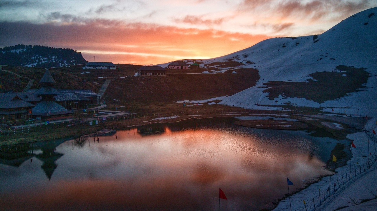
The floating island is visible in Prashar lake.
We left the temple and located the trail on the map, a pathway that should have climbed up to a mountain pass. All seemed in order. The trail climbed, passed through a cut in the ridge and then wound its way along the other side. A highway of teams had passed before us, but after 10 minutes or so, I stopped the team, noting that the terrain was not right. It was dropping on the wrong side, and our heading wasn’t what it should be. For the next half hour or so, we retraced our steps and explored. It took a while, but finally the pieces fell into place. While all seemed to have been in order, we were not on the mapped trail, we had not passed through the mapped mountain pass, and we were now on a major trail that was debatably on the map. Regardless, we weren’t where we wanted to be.
After further conversation, we elected to continue on since it was a major route, and the alternative of heading up into snowy mountains to find the mapped trail seemed foolish. Located, we felt we could skirt the mountain above us and pick up the ideal route. We set off…
…Only to find ourselves further confused. Part of the problem stemmed from the fact that this part of the course was literally mapped on the edge of two maps. The printers had not mapped much overlap at all, and it was proving very difficult to actually see the map clearly and its features. We reached a point where the track became a legitimate (and legitimately unmapped) road. No other options really presented themselves on the ground, so we headed off on the road, which dropped into a large valley.
As it turned out, most if not all teams were sucked into the same challenge. We learned afterwards that we were one of the only teams to ultimately follow the optimal route. Of course, at the time, we didn’t know it, but many teams stayed on that road far longer than we did, adding 15-20 kilometers of running. We ultimately found another unmapped road connecting into the main one we were descending. After a bit of debate, I made the final call to ascend this road. Certain that we were well oriented in regards to the terrain, I believed this road would access some of the villages we had been aiming for originally. A local somewhat confirmed this, though he also seemed a bit confused as to what was where. Nonetheless, we started to climb back up to the ridges that now were high above us.
Many different feelings about the climb back up onto the ridge.
A half-hour or so later, we popped out in another breathtaking Himalayan village. The sun had crested the horizon as we made our way up, and we had a clear line of vision down the ridges and valleys below us. Hidden from us was our TA, but we were on our way now. We tried to communicate with a local man a bit about our destination. He gave us some vague hand signals and we set off, descending through timeless terraces as the morning sun climbed above us.
Eventually, we popped out on a trail and found…the fellow from the top of the ridge. He pointed us down a trail and more or less led us down to a major road. He would ultimately disappear, climbing back up, presumably to his ridge-top abode, but an hour later, we saw him in a car coming up from the BOTTOM?! Clearly, his life living in the Himalaya had him in far better shape than we were, and he also clearly knew all of the shortcuts to traverse the villages more effectively. It was impressive. Also impressive, he refused payment when Ryan offered him a few rupees for his help guiding us to the most efficient trail. Ryan communicated that the money was for his children, for food or something useful, and he did finally accept that. While there are sharks in India looking to make a buck, in the mountains we found that kindness and hospitality trump all and that profit is secondary and often not even acceptable.
Descending the Himalayas. No big deal, just 4000-5000 feet down to the TA
We made steady work of the rest of the leg, dropping massive amounts of elevation down steep switch-backing trails. Mark led us true, finding good paths to cut the winding road. Toward the bottom, we hit a final stretch.
“Shortcut?” we asked a local man.
He shook his head, pointing us back to the road, which made one final massive loop backwards before dropping the final bit to TA. “No shortcut,” he said. “Road”. We groaned a bit, walking toward the road, stopping and staring as the road had to add four or five times more distance to the TA. As we shuffled down the path, wishing the leg was over, another young many from the same house came running over.
He looked at us quietly, with an inquisitive look. I decided why not ask him? “Shortcut?” I asked, pointing down to the bottom of the valley and the large river below.
He nodded and beckoned us to follow, taking us back past the other man and his house and onward, stopping at another trail that plunged down into the valley. It was an amazing trail, a concrete river down the mountain side. No short-cut indeed. In India, there is always a shortcut. Twenty minutes later, we were at the TA, drinking cold soda, eating some bananas and getting the news.
STAGE 4-5: WHAT GOES UP
In the TA, we were notified that the next rafting leg, a short flat-water float, had been canceled due to blasting and landslides. Seemed like a good decision. The re-route was an additional 10 km or so of trekking along a buzzing valley road. I got my buff ready and set off behind my teammates for the “quick walk” to TA, nearly two hours of pavement pounding, smoke and dust inhaling, sun-baking Indian joy. It wasn’t that long, but after the overnight trek and considering that my lungs felt rather terrible, it was enough to break my spirit a bit.
We turned onto a quieter road, up a small valley to the TA, and I fell behind the team, vomiting four or five times as I coughed the filth and frustration out of my lungs. It was a low moment for sure, one of the lowest I can remember in 100+ Adventure Races, and when we slogged into TA, I had a bit of a meltdown, complete, of course, with cameras and interviews from the film crew. I’ve been emotional once or twice upon completing a major expedition race, but I have never broken down during a race like that. My team was either respectfully ignorant of it (claiming they didn’t know) or they were genuinely unaware, and I later realized that the video would likely make some folks back at home rather worried (turns out, they didn’t air that video clip, though a sliver of it ended up in the final wrap up video; yeah, the video full of absolute joy and beauty…except for the one guy hunched over whining about it being hard. That’s me, my moment of fame!).
Once again, the Kinetic staff were tremendous. Sharla, Heidi, and Craig all caught onto my struggles and offered the perfect balance of space and support to allow me to recover. Craig allowed me a private moment to watch a touching video clip from Zoe and Abby, and I was able to move on to the maps. This worked out well as the maps were set aside from the TA and I had some quiet solitude (mostly) to transpose the data, study the route and meditate a bit on what was coming. The team was off in the field getting ready, and I started to build up a mental wall for the massive climb that was coming. I really wasn’t sure about a 2000 meter climb out of TA considering how I was doing with anything pointing up, but I was reunited with my inhaler and the team took some of my weight to lighten the load. We pedaled out of TA knowing that we had made some good moves on the trek, positioning ourselves just inside or outside of the top 10 depending on whom you asked.
Up, up, up. 2000 meters or so warm up leaving TA.
And so we climbed. And climbed, and climbed some more. I had my moments, but overall we made steady progress up, and other than needing a couple of stops to avoid melting entirely, I was able to grind the gears without pulling a John Hurt in Alien. As always, we biked through interesting villages, by eager youth ready with a high five or a heart-melting smile, and the backdrop of mountain ranges and temples never stopped.
At one point, we rounded a corner and found ourselves in the midst of another huge procession, though this was one was considerably happier than the funeral march we encountered on the first day. We were not quite sure what the parade was for, but men laughed and yelled, clapped and sang, and many played instruments including two enormous silver horns, blasting joy and energy through the high mountain air. I had been, by chance, filming a local boy running alongside my bike just before riding into the crowd and managed to capture the entire thing on film.
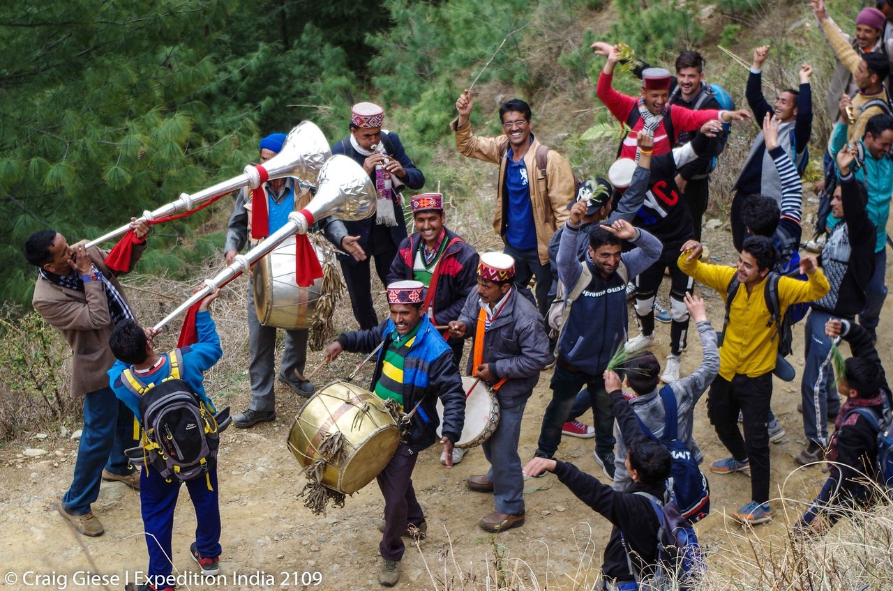
The walking Indian party. Photo courtesy of Craig Giese
The afternoon and evening passed and the kilometers ticked by. Finally, after a long ride down into a distant valley, we biked into Thunag and we immediately enacted our night two plan. We had decided to leave our more serious sleeping gear in TA, and rather than pushing onto the TA and River Camp, we found a hotel, haggled a bit over rooms, food, water, and the security of our bikes, and then settled in for a glorious sleep.
The rooms were tidy, and just before passing out, our room service arrived: egg and potato omelets with Roti bread, perfect items to make delicious sandwiches. Mark even “showered” (more like a sponge bath in a bucket of tepid water, the night air rather chilly). The VanGorders had their own room, and we all settled in under thick, warm blankets for a good three hours of sleep.
We awoke relatively fresh and set off around midnight for the rest of the bike. We had a long gentle climb to start, a local dog making most of the 15km journey with us to the next CP. At the CP, we caught an Indian team that had passed us while we slept, and we quickly left them behind. Soon, we saw more lights that turned out to be a top Australian team, Thunderbolt. We seemed to be slowly gaining on them as well when they continued up a switchback in the road. Excited, I stopped the team as we were supposed to turn off the main road at the hairpin turn and take a track up a narrow but steep valley. The path was subtle and nearly invisible, but once a hundred meters or so into it, we found that several leading teams had also traveled this way, beating a path through ever deeper snow. We kept peeking back, but there was no sign of Thunderbolt correcting their “mistake”.
What started off easy enough quickly turned somewhat hellacious. The snow was deep and cold, the terrain steep, and we had to push and carry our bikes the two or three km up this snowy ravine. Eventually, we were relegated to a rather precarious scramble up 50-100 meters of steep sidehill, the sort of slope you’d normally want all four limbs assisting to ascend. Except we had our bikes. It was a miserable slog, but we finally popped out on a rather spectacular dirt road.
And then we saw the Indians biking up that road.
And we realized Thunderbolt was long gone…ahead of us…thank unmapped road that we were definitely not directed to take…
Rather grumpy from the epic little ordeal, we talked a fair bit about what had transpired. As it turns out, Stephan’s hand-drawn addendums had struck again. Several teams saw exactly what I had on the map: the road ending uselessly but the hand-drawn track (that WAS there on the ground) traveling up the valley to a pass. The crew from Bend and I believe Naturex also did the same as we did. Others stayed on the road. Why? I still have no idea since that is not what was on the plotting map. But as it turned out, staying on the road simply bypassed the entire icebox that was that valley and probably saved an hour or more.
The frustration and lost energy lingered for a bit, until we realized we had begun one of the most epic downhills in AR history. From that pass, the unmapped dirt road drawn onto our map simply dropped. We dropped for hours. Picking off a couple more CPs, the road gradually meeting up with civilization and then turning to pavement. The entire way, we rode with thousands of feet of exposure juet a few feet away off the side of the road. One sleepy miscue…
I think we dropped for two hours. Maybe three, and by the time we rolled into TA, the sun was up. We had timed it almost perfectly, missing the opening of the dark zone by half an hour or so. True, some teams ultimately had a fair bit more sleep, but we were happy to have had ours in a warm hotel bed with hot food rather than in an unpredictable TA next to a river. Spirits were high as we had bridged the gap to most of the leading field, the exception being Naturex who had escaped before the dark zone set in the day before and Agde Raid who had left first thing in the morning. The rest of the leading teams, as it turned out, were still in the tents. No Rafts. For us, we also didn’t get our paddle bags. Not ideal. But it was India. What can you do?
STAGE 6: SMOOTHER SAILING
So, the bummer about our perfectly timed sleep and arrival at the river was that we then had to sit around for two to three more hours as the other teams just kept on sleeping in their tents (we dozed a bit, but for various reasons, getting more real sleep wasn’t to be). The delay in the rafts created the one notable logistical issue affecting a large number of teams. I know that things were a nightmare for Heidi and Stephan behind the scenes as local logistical assistance broke down and created endless headaches. That said, they did an absolutely incredible job hiding that from the racers. A couple of hours delay getting on a major whitewater river? Not all that surprising or unusual.
Long morning aside, we finally jumped in our raft with our Nepalese guide. We were last in the queue but ten minutes or so virtually separated 3rd place from 11th (our placement coming into that TA, I think). We were better rested than some and feeling better than we had as a group in a while, I think. That said, I think everyone was anxious to get back on the water with the river guides after the fiasco on the Beas River during Stage 2.
Thankfully, this would be a very different experience. First of all, this river, the Sutlej River, was remote. Unlike the first rafting stage, which passed through towns and villages overflowing with garbage, this river was relatively pristine. Instead of rapids rolling over and around endless glacial boulders and rock bars, this river was generally deeper and cut through spectacular, towering canyons of mossy rocks and cliffs. The water was big, perhaps bigger than the Beas, and most importantly, the guides were competent.
The rugged Sutlej River canyon
In fact, it became clear that our guide was not impressed with our need to eat, our occasional tendency to enter droopy-eyed trances, and our general lack of strength compared to him. Our guide (and I think many of those ahead of us if not all of them) had not worked Stage 2, and he hailed from Nepal instead of India. By the end of the raft, he loosened up, laughing with (and indeed at) us. He sang songs, regaled us with stories of the inept Indian rafting guides up north, and told us a bit about his life in India and at home in Nepal.
We were sad to see him go when we hit the lone CP on the leg, a marker designating the shift to flatwater. From there, we were on our own, though we lost ten minutes or so in our haste to push off. We had dropped our guide at the designated bridge, and in our joy and exuberant goodbyes, we neglected to punch the CP. The river, while flat, was too strong to paddle back up efficiently, so Mark ran back for the CP while the VGs and I labored back up the shoreline. It wasn’t our finest moment, but at this point, playing catch up was our motto, so onward.
The remaining 10km or so was a bit of a slog, but it also went quickly enough. As always, there was plenty to look at, RVG shared some epic race stories from Baja, and we managed to stay awake well enough for a Day 3 pleasure cruise. We rolled into TA, finding several teams still attending to business. A few had rushed through and were out already, but we determined we wanted to take our time to get ready for what we expected would be a rather long night and day out.
Approaching the TA; photo courtesy of Terence Vrugtman
STAGE 7: IN INDIA, WE WASH FEET
The Stage 7 Trek would ultimately become my favorite trek in my AR history. It started off with some village nav before evolving into a significant journey up a rugged river canyon. We then navved through some small agricultural hamlets along the valley floor followed by a massive ascent up through what was virtually another canyon, ascending thousands of feet to a peak adorned with a remote temple, complete with 360 degree views of the Himalayas. From there, we dove down into a sprawling network of valleys and ridges, full of villages, capped off with a final climb to a smog-lined “highway” and the TA. The diversity of the stage and the experiences within it were staggering, and if we hadn’t already gotten our money’s worth, this trek rewarded every challenge and hardship to date. It truly was a spectacular experience. Like the first trek, it also was a major moment for our team in regards to our comeback from our rough first day of racing.
Out of the transition, we trekked along the river, hoping to easily link together a couple of villages on our way to the first CP. Our logic was sound: rivers are integral to India, there were villages mapped all along this stretch of the Sutlej, and we figured there would be paths along the banks. At first, all went well, and we moved along nicely. Unfortunately, we were stopped cold by a deep reentrant…that doubled as a trash dump. We had seen worse, so we elected to push through it, trekking down and through the garbage, across the reentrant floor and then pushing forward and up to a road. It wasn’t the most pleasant experience, and we all tried to just ignore our surroundings, going to whatever happy places we were able to conjure. In general, I have never felt so dirty and grimy as I did in this race, and I don’t mean dirty in regards to good old fashioned soil. This was, perhaps, the low moment of the race in regards to that, but by this point we were also quite good at feigning ignorance and making the best of it.
Village nav
We popped up on the road, continued on and made better work of the next village, walking through and then shortcutting over a large spur, nailing some village nav and ending up back on the main road within five minutes or so of the CP. “Village Nav” is, in a sense, its own discipline. The villages in India are a sprawling and seemingly endless network of foot paths. There must be millions of miles of them across the country assuming much of India is similarly developed. Almost none of those paths show on maps. Compass bearings help, but so too does a massive dose of intuition. While no one understood English, communication is also critical and included butchered pronunciation of the next village and general hand/directional gestures, all of which RVG proved quite adept at. The added challenge was interpreting the locals’ responses as their hand gestures and head nods could easily be interpreted as “Yes” or “No”, “This way” or “That way”, “Go ahead” or “Stop”. Most locals seemed happy to help, though we also saw genuine looks of concern and even fear on some faces. It was truly an amazing experience marching along these pathways, sometimes literally traveling through peoples’ yards or compounds of buildings.
While we lost some time on the trash dump, we nailed the nav and moved on, traveling through a bigger village as the sun set on the horizon. We passed through fields and stony alleys and popped out at the same bridge where we dropped our river guide several hours before. A troupe of monkeys rampaged across the bridge before we crossed and we met up with the media crew on the other side. Everyone was in grand spirits. We had actually discussed another civilized rest stop in the town on the river as it would be the last such town for a long while, but we still had some light to work with and we were plenty awake. So, on we went.
We next marched along a typical mountain road under a sunset infused double rainbow, the river roaring beneath, the mountains towering overhead, before turning into a side canyon with a massive construction site full of mud, chemicals and debris. Not for the first time, we remarked on the boldness of the course, the fact that the RDs didn’t shy away from sending us past or through environments or scenes most would probably avoid. I’m not sure you can avoid such things in India, but it was still remarkable. In contrast to the polluted construction zone, a spectacular, cascading river was pouring over boulders and beneath cliffs below.
Heading toward the end of the road and the first canyon
Soon, darkness fell and we picked our way along the canyon’s floor. At times, we traveled along distinct footpaths. At others we bushwhacked or traveled in the water course, scrambling over and around boulders or wading across the current. Once or twice, we happened upon remote flocks of sheep with their shepherds, clearly surprised to see our headlamps emerging out of the night. After a while, the canyon floor opened and flattened out a bit, the going became easier and we found some more legitimate settlements in the night. We weren’t slowing much, but fatigue was settling in as night three deepened, and we knew we would have to sleep at some point before the night was out. We had a couple more hours of time in and among the villages before we started the ascent, at which point we knew we would lose all chances for a comfortable, dry, warm sleep. So we started looking.
What an amazing experience we found. We popped up into a small village and at first failed to communicate with a curious family about sleeping in their compound. Around the corner, however, we found another family, an older couple and their 20-something son who was able to pull out a bit of English. Several minutes of back and forth, and they led us to a room. They rustled about in the other rooms in the building and quickly outfitted our room with four mattresses, thick blankets and comforters, hot chai, a bit of food (they wanted to feed us more, but we declined), and then they hit us with…
Foot washing…
They insisted that it was local custom to wash guests’ feet. Ryan was doing most of the communication and stood firm that we weren’t going to allow them to touch our sore, dirty feet, and we settled on a delightful compromise. They filled a basin with perfectly warm water, we soaked and massaged our feet while they dipped and dumped water on them. It truly was glorious, and we joked (kind of) that we might be adding that cultural custom to our home lives. A good, warm foot bath before bed? Wow…
Our final excitement came in the form of an enormous spider, crawling about on the wall. They tried to shoo it out the window, but this failed, and ultimately, they ended up killing the poor fellow so that we could rest easy. Circle of Life…
Feet washed, tucked in, cozy and ready to turn the lights off
So, we settled in, and had an amazing two and a half hours of sleep. We woke feeling “rested” and ready to go, and I think we executed our sleep strategy perfectly with two high quality sleeps. I still remain in awe that so many racers and teams seek out the miserable hour, shivering in a ditch, exposed to the cold and damp without any insulation from hypothermia-inducing cold. I’ve had those moments, and sure, they make for good stories. But they do absolutely nothing but add to the misery and sleep deprivation that can undermine a race effort at best or cause significant safety issues at worst. A few years back, we really adjusted our sleep strategy after I awoke legitimately hypothermic in Alaska, and I think we have raced better since and I know I have genuinely enjoyed our racing much more as a result. Anyway, we were on our way, better rested than several teams ahead of us (or so I will venture).
And we were so well rested that we MOVED through the next section of unmapped tracks, which led us back to the river and through some amazing little farms, terraces, and aqueducts. We moved faster than I was estimating and soon we were having our one significant debate of the race, Mark and Ryan ultimately overriding me and leading us up from the river. I was convinced we had to go further, but as it turned out, they were right. We did not ultimately find or take the mapped track on the map (yet another hand-drawn trail), but we found our way up to the road, oriented ourselves and headed to the checkpoint.
And then threw away an hour or more. The features matched the map, but the clue was something like “End of construction zone, start of trail”. The plot was RIGHT off the road, but we didn’t see a marker and while there was some rubble, we all agreed this didn’t feel like a construction zone. In addition, there was little sign of an established trail after the first few hundred meters. By this point, we all were a bit unsure of how to interpret all of these vaguely annotated trails, and I don’t think we had a full bead on the RDs’ personality, so we spent a fair bit of time investigating the area around the CP location. In doing so, the team walked by a tarp covering some hay (I was trying to communicate with an Indian couple who had woken to our lights and musings), and Jen leaped into the air with a small shriek.
Our Australian friends from Thunderbolt had passed us while we slept, but they too were thrown off by the absence of the checkpoint and the confusing discrepancy between mapped information and what we were seeing on the ground. Instead of floundering about, they had bedded down under the tarp in the warm hay, eager to give us or some other passer-by a fright. Mood lightened, we spent another twenty minutes or so confirming our location using a trail we hadn’t explored that was on the map, and then we set off up the steep ravine, trusting that the trail was in reality a suggested route.
Hmmm…India…skulls…remote wilderness…Temple…I think Indian Jones tried this one once…
The journey up the canyon was epic. Hints of settlement existed throughout the canyon with small dams built along the water course and some occasional foundations hidden below cliffs or in the undergrowth. In some places we could tell there was active sheep herding…or something…still going on, but we didn’t see a soul for hours as we trekked steadily upward. Mark struggled early on, energy a bit low and his stomach threatening to revolt a bit, so I took some weight for the first time in the event, happy to finally help, even if I would have to pass that weight back a couple of hours later as the increasing elevation eventually began to close down my lungs.
When we started our climb, it was still dark, and the initial going was slow but fun as we had to boulder our way up into the deep canyon, occasionally following a trail of vibrant red Holi powder. At some point, we did pick up a faint foot path, and we would stick to that as much as we could for the next several hours, deep into the morning. Occasionally, we remarked on the fact that we were out of water and that there was an impressive dearth of it up in these mountains considering that the maps suggested nothing but streams and creeks in this Himalayan canyon and its countless side reentrants, ravines, and gashes. We had a ways to go and we expected to traverse a high ridge once we reached the top of the range, so we wouldn’t find water there either.
In short, we were starting to worry that we might have a problem.
Sometime after sunrise, we had paused, and I mentioned the issue once again. We shrugged, unable to do much about it and continued on. Literally, a moment later, I spied what looked to be a reflection in a small hole in a pocket of rocks. At first I suspected I might be hallucinating, but I focused in and confirmed that I had found an elusive spring. Ryan had noticed a small red cloth hanging from a nearby tree, but he hadn’t caught sight of the spring. Seems there was a system of springs and resources for the herders and sheep. We had figured as much but hadn’t managed to sort it out until this moment.
Refreshed and reassured after finding water and confirming we were still found.
Excited, we stopped, filling our water in this cool, hidden alcove of clear water, and then we continued. The mountains around us were imposing, and I had been worried that we could have ended up in the wrong canyon during the climb, especially while it was dark. But Mark, Ryan, and Jen forged ahead, and our progress was true. Other teams did stumble in this section, but we made steady work of it and finally we began ascending the final, seemingly endless climb to the ridgeline. We had lost the trail, but we had picked up a trailing Indian team that had gotten lost in the mountains and somehow picked up guides to lead them to the correct mountain where we would find a summit topped by a sacred temple. The final climb up was on an extremely steep, wooded pitch, one that required a fair bit of physical and mental effort, as a slip could mean several hundred feet of rolling or sledding back down.
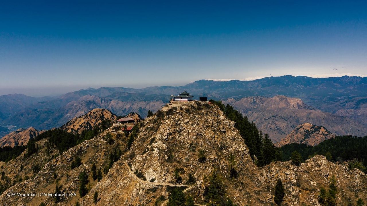
Maa Shali Temple waits; photo courtesy of Terence Vrugtman
My breathing deteriorated, and by the time we reached the more defined ridgeline trail, I was staggering. I thought of the videos of truly high altitude climbers, those who summit Everest, literally taking a step every minute, as if their feet are magnetized to the earth. I wasn’t quite this bad, but I fell behind the team even further on the trail, and I literally found myself weaving side to side on the trail, my head spinning, my breath ragged. I stumbled several times but finally reached the Maa Shali Temple’s gate, climbing the access stairs and marveling at the 360 degrees of panoramic views of the Himalayas, a massive wall of snow and ice on the distant horizon. It was absolutely stunning, and what I would have given to have had the time and space to simply take that all in for an hour or so.
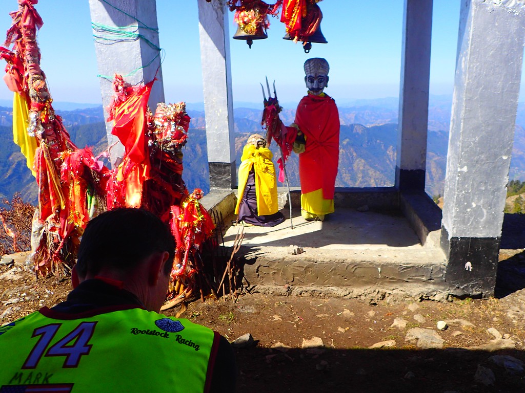
Instead, we visualized the final stretch of the trek, a long traverse of a ridge. On the map, it looked relatively tame, and we had considered the possibility that there was a good track that would take us north before meeting up with another ridge which would take us to the TA. From the temple, however, this ridge looked imposing. There was significant elevation change as the rocky, tree-enshrouded spine rolled away into the horizon. No open-range trekking here.
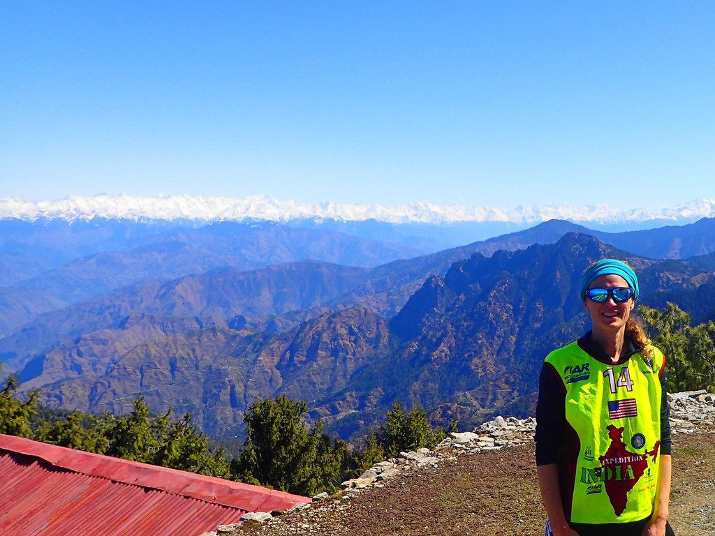
Jen standing on a foothill of the Himalayas; in the distance, we get the “real” mountains, though they are “only” 6000 meters tall, an Indian mountaineer told us
Nonetheless, we descended to the saddle below the temple quickly and started up the ridge. Within five minutes, we stopped and examined the map to look at alternative options. There was no trail on the ridge, the terrain was steep and slow going, and we felt a bit worn down after the climb to the temple. I quickly studied the valleys below on the map and noted that there was a rough route through the countless villages below that would allow us to navigate through a series of valleys with minimal elevation change. I reckoned that we could do a big descent and then more or less work our way through the villages without any measurable gain before a sizable climb up to the TA on the far side of the main valley. I doubted this would be much more elevation than the cumulative changes of the ridgeline, and I suspected we could do it faster.
And so we dropped.
Everything in the Himalayas is massive. The map showed a handful or contour lines or so, but when each line is 50 meters, this adds up quickly and between the steep decline and the escalating heat, we were a bit parched by the bottom.
But then things really took off as we set off on an epic little journey through the network of villages, confirming general directions from the occasional bystander who seemed stunned to see us traipsing through their home. For a couple of hours we steadily worked through village after village, Ryan and I leading and conferring as most of this was done without much assistance from the map. Jen and Mark chatted behind, and I think it was a great mental break for everyone. Eventually, we reached the final ascent, and even though it was a bit daunting on paper, we actually made good time of it, climbing through terraces, by houses and actively farmed fields, past small temples and shops where we bought some ice-cold soda. Before long, we reached the top of the climb, met up with the smoggy “highway” and trekked in the last 5 km or so through a busy, dirty town to the TA.

More village nav, in dramatic mode, of course. It was pretty dramatic.
From start to finish, I believe this was the single most amazing leg of an adventure race in my 100+ race career. The diversity that included the riverside villages the afternoon before, to the river canyon, village sleep, mountain canyons, exposed ridgelines and mountain temples, and sprawling Himalayan villages was simply remarkable. It was challenging in various ways, but it was also incredibly engaging and interesting, and as it turned out, we also made our biggest move of the race, coming into TA in 6th place. We were a bit gassed, but we transitioned as evening descended and set out with the hope that we could hold off the Australians who were coming in behind us. It wouldn’t be easy, but we had a big enough lead that we felt it was our position to lose. We just had to make sure the “wheels didn’t come off.”
Famous last words.
STAGE 8: THE WHEELS COME OFF. WAY OFF
We biked out of TA, passed an Indian team walking in and then Thunderbolt who had taken the same rough route through the trek as we had. They had just popped up onto the “highway”, so we were able to confirm that we likely had an hour or so on them, maybe a bit more depending on how long they took in TA. We bombed by and then looked for our left turn, which would point us down from the ridge into a massive valley below. Immediately, we were off, ending up losing a few minutes on an unmapped road that easily could have been ours on the 1:50,000. I quickly turned us around and we found the right road. From there, we settled in for a somewhat exhausting downhill.
On the map, the road headed down with a handful of switchbacks. In reality, there were dozens upon dozens of hairpins and blind curves and corners for every turn on the map. It was unsettling as it was virtually impossible to keep track of our location or even confirm that we were in the right spot. In addition, the road was jarring, and as usual vehicles kicked up lung-searing dust that at time created a white-out feel as our headlamps reflected off the haze.
We all were a bit fried by the descent and the nerves of coming around a corner into a truck, but finally we made it down, and found the first control. As it turned out, we were the first team to elect to go this route, and it sounds like it paid off. The teams ahead of us had a much harder time than we did, and we were told that we had closed the gap to 5th to some degree. I’m not sure I buy that, but it’s nice to imagine it. Regardless, we were on our way, knocking off another control or two and riding into a town where we were to pick up another drawn-on track.
And once again, the ambiguity of the rough approximation of inked-on tracks wreaked havoc on our nav, and not at an optimal time. In addition, the roads of the town were complicated and there was much more going on, including some false parallel features. We rode around a fair bit, losing half an hour or so before we finally worked our way through the correct village on the outskirts of the town. Our confidence rose, but we knew that Thunderbolt would be closing in. We rode on, still not 100 percent locked in (for good reason; we were riding through a network of dirt tracks that were simply represented by one annotated line) but sure we were at least heading in the right direction.
We were able to nail the next point and then rode down into another valley for the start of the last big climb. We looked back a few times, and while we didn’t see lights (Mark actually thought he did), I think we all knew that things were slipping away a bit and not going as we had hoped they would.
After crossing the creek at the bottom of the valley, we were supposed to follow the one mapped road up to the top of the ridge and the next control. It looked straightforward enough, and a highway of tire tracks quickly climbed upward out of a mystery junction. Immediately, I knew something was off. I knew we weren’t doing what the map said, but on the 1:50,000 it was easy to argue that the dirt road would ultimately do what we wanted. We hit another unknown junction. We followed the herd.
We were collectively a bit sleepy, so we stopped for 15 minutes. Two expeditions ago I purchased some ultralight foam sleeping pads from Gossamer Gear. I’m done sleeping on cold ground that leaves me convulsing and more miserable than when I knock off, and it weighs about 2-3 ounces. It makes these small stops MUCH more pleasant. We grabbed some Zs, woke up, and continued.
At a third junction, I hesitated more, but we elected to make a turn and explore, starting to realize that we could either slow way down and go back to the beginning or just follow the road up. All roads lead up…why not? So we rode on for a while…and then turned back to the junction…and then we rode through that junction. I thought we MIGHT be on the mapped route, BUT my gut said we weren’t.
Long story short, we weren’t. From there, we rode through a nightmare. It didn’t take long for me to realize I had been right to worry from the start and that we were riding on unmapped routes, and there were a LOT of them. We actually did see another team at one point. At the time, we thought it was Issy, the fifth place team. I really have no idea who it was, but in retrospect, I suspect it was Thunderbolt and that they snuck ahead of us when we did our out and back exploration after the nap. Regardless, they disappeared, and we didn’t see them again.
From there, we spent several hours working up, exploring some routes that either dead-ended or didn’t feel right. We rode through some villages, one of them quite big. I suggested we were in an area with some mapped buildings and not a single track, but again, where exactly we were was hard to tell. Up we rode. The temperatures dropped. So did the team energy and morale for understandable reasons. I was awake because of the nav, but the others had their struggles with the Monsters. We rode up.
At one point, Mark and I rode ahead a bit and explored a route that sidehilled along the mountain. At first I was convinced we were on the right track, but we kept riding and riding with no defining, confirming features. Finally, we turned back, and then we rode in the other direction. Mark suggested we were PAST the control, further along the ridge. I didn’t agree, but I kind of threw up my hands mentally, dejected and willing to explore back the other direction.
And so we rode back and kept climbing. Ultimately, this allowed me to confirm what I had believed all along. We had not, in fact, ridden past the control’s location on the mountain. We were definitely in the unmapped pocket of the map I had suggested we were in two hours before, and we were now confirming with our altimeters that we were actually above the control. With all this information. I stopped the train, turned us around and insisted we ride back to where Mark and I had explored.
We made good time back to that spot with my newfound conviction, as I was sure I had it sorted. We rode through our turn-around location and kept on, eventually popping up on the ridgeline’s more defined road in a silent town. From there we road along the ridge, found the control and then stopped for another 15 minute catnap before the final ride to the finish. We were exhausted, sleepy, cold, dejected. Best case scenario, only Thunderbolt had passed us. Worst case: we might have fallen out of the top ten.
We rose from our nap and set off, climbing more until we topped out at a junction with a major road on a towering ridgeline. We rode down to the junction with some sort of old route which proved to be a well graded, relatively flat road terraced into the side of the mountain. The sun rose over a distant mountain range, the air warmed, and we settled into a relatively happy ride, though we all remarked that we all felt incredibly slow as the final kilometers ticked by. As often happens at the end of expedition races, what looks to be a quick and easy finish seems to elongate, stretching into a tortuous final mental challenge.

Finally, we reached the ridge-line town and a paved road. We cruised through quiet streets, a bit unsure of where we were going, trusting that logic and the occasional white arrow would lead us to the finish line. It took longer than expected, but we found ourselves riding through the stunning finish line arch at the lodge, a beautiful oasis perched on an open and panoramic bald spot surrounded by the Himalayas. Heidi and Sharla greeted us with food, drink, smiles, hugs, and the love that they and the entire Kinetic Events team infuses into their events. It was about as close to heaven as one can feel at the end of a long event.


POST RACE: MAGIC SHIMLA, MAGIC INDIA


For the next few days, we slept, ate, and recovered. I was relieved to put my lungs to rest, though I found I still labored for the next few days. Altitude, pollution, and some longer walks around Shimla than expected left me feeling like I had undertaken another unplanned stage of the race. Still, Shimla was an amazing town to wander, a holdover from the British imperial days, home to British and Indian summer palaces. Towering high above the sprawling town and those buildings of imperial wealth and memory stood an imposing pink statue of Hanuman, a deity of celibacy, at the Jakhu Temple reminding all that India was and always has been for India first. It felt fitting to marvel at the history and legacy of the British Raj but ultimately a Hindu deity reigns above all.
What more is there to say about Expedition India? As always, we made new friends from around the world, battled the Himalayas and ourselves (well, I did at least; I think my teammates were held back a bit but incredibly supportive in tolerating my weakened state), and explored an incredible country full of unbelievable people, culture, and sites. As noted, the field was smaller than some, but it was deep and mighty, and I at least was thrilled with our final result considering the obstacles we faced and the level of competition.

Jen outshining us all combined…though RVG’s scarf always is a nice touch.
Ultimately, we finished in seventh place out of twenty or so teams. The French from Naturex, one of the absolute best teams in the world, flexed their muscles over the last day or so of racing to run away with an impressive victory, followed in by another strong French team Agde Raid and a young guns team from Spain, Endurance Aromon. The competition was fierce and thrilling among the next ten teams or so with constant jostling all the way to the finish, but with that strong competition also came deep camaraderie and a communal sense of having been part of something extremely unique and special. I suspect everyone left India with full hearts and minds, and I imagine all still daydream about this once-in-a-lifetime event, regardless of finishing place or how each team managed to run their race.
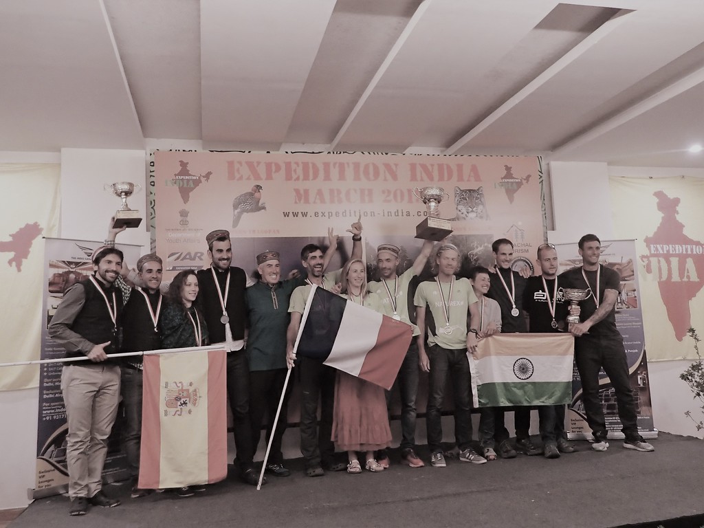
Champions
Three months removed, I look toward Nationals, but I’m still not entirely in control of my breathing, which remains a frustration and project that lingers on longer than I expected it to. The fact that I was able to enjoy India so much considering that I feel miserable on a day hike at times speaks to the amazing effort Heidi, Stephan, and their whole crew put into Expedition India. I’m sorry to say that I doubt another such event will take place, but if it does, schedule permitting, I will be the first to return. Everything about the experience was truly magical.

Drones. Where we go, I don’t need drones…Hanging with Thunderbolt in Shimla. You should have seen the bathrooms…
USARA Nationals
How to begin a race report on the best race finish in a 13-year run? I have thought of all sorts of quirky ways to get it started. Jokes, foreshadowing, rote description, comparison to my first USARA Nationals experience 12 years ago when my team came off the first leg in something like 72nd place out of 80 or so teams…Instead, I went back and looked over my report from last year’s National Championship, my 100th navigation based race. I’ll start it there:
“While Rootstock 2 didn’t win any accolades this time out, I at least walked away knowing that one different angle of a headlamp beam and we would have been right there behind [Rootstock Racing 1]. We weren’t [though], and that reality will always be there for me, but sometimes the growth, emotions, and lessons that come out of the failures in AR are worth much more than the fortune and glory.
I can’t say I finished on the podium at the National Championship for my 100th race, but I am a better racer for it, and sometimes the race you compete in is more about the other people around you and the lessons learned or relearned. Your teammates and their experiences, and in this case my extended teammates and what they accomplished, sometimes are the real moral of the story.
And now we head off into the fall. My season is over. I have some work to do to figure out why this year didn’t go so well for me even if it did on paper. I actually felt more like myself this weekend than I have felt all year, but I have some planning and work to do. I don’t know whether I will race one more race or 100 more, but I’m grateful to all of my teammates and the entire community of adventure racing for making me a better person.”
Well, I raced five more times this year, and while last year was an amazing year, this year may have been even more incredible. The team had an exceptional year with seven victories and three second places on the USARA circuit. Additionally, we finished in second place in two major expedition races: XPD in Tasmania and Untamed New England.
While all of this was incredibly rewarding, my sights were set on Nationals for literally the past year. Jim, Brian, and Abby’s victory in Pennsylvania last fall was eye-opening and inspiring. To be honest, Nationals was never a race I seriously contemplated winning; the race has a long history (twenty years in 2019!) of fierce competition. Six teams (not always under the same name: Tecnu/AMK; Wedali; Granite/EMS; MOAT; Team Traveler; and Rootstock Racing) have combined to win fourteen of the nineteen championship races to date, meaning that very few people win this race. I can list dozens and dozens of racers I look up to as better racers than I am who have never won this race. I also know that our team has never been nor ever will be the fastest. We will never be able to outrun or outbike the fastest teams on the course, and we will never be able to race at the truly elite level of four-time champions AMK/Tecnu.
That said, this is adventure racing, a sport where truly anything is possible. Watching and cheering our teammates on as they won last year stirred an incredible assortment of emotions in me, and I think for Joel and Nicki who raced with me as Rootstock Racing 2 last year. First and foremost, we were overjoyed to watch them win. As previously noted, we were also left with a bigger than usual black hole of “would haves” and “should haves” and “what could have beens”. But we also were bestowed with a deep desire to reapply ourselves for 2018, to train harder, to sharpen our skills, and to do what we as a team have always done best: take care of each other, have fun, and work together to achieve at a higher level than we can by ourselves. We had an amazing season of races to set us up for the big one at the end, and we were excited to get out there and take a shot at defending the team’s championship in 2017, get Abby and Brian back up on the podium as repeat champions, and replace some of those horrible memories that had been gnawing at Nicki, Joel, and me for the past year. Of course planning in Adventure Racing is often a waste of energy…
Pre-Race
Before we could even get to the start line, we ran into some issues.
First off: who would race with whom, and what would our strategy be? Last year, we had two squads. We felt one team would be stronger physically than the other, and while we raced together for the first section of the leg, we quickly split up afterwards. The rest was history.
This year, everyone had really worked so hard to get ready, and there was no easy way to split up the teams into an “A” and “B” team. The issue became more complicated when Jim found out he would be unable to race. We were fortunate to replace Jim with the extraordinary athlete and teammate Jesse Tubb, who graciously joined the team with the perfect Rootstock attitude of doing whatever with whomever. Thereafter, we had a lot of back and forths on the team composition, and we ultimately settled on an “A” team of Abby and Brian with me navigating. Joel, Nicki, and Jesse would race as Rootstock 2, but we would more or less stay together.
That said, we made deliberate decisions to not assist each other in a number of ways. The Rootstock 2 team proved stronger on the paddle and they paddled off on their own. When someone needed food or if someone needed a tow or gear carried, we determined we would only help people on our own team. Yes there is benefit from traveling as a 6, but we also determined that barring a major problem that was unfixable (injury; illness; major mechanical) the two teams would stand by each other. We just like racing together too much, and with teams limited to three, there was no way to balance the teams in a satisfactory way. As it played out, we did hold each other back a bit in regards to speed at different times, but we came up short of actually splitting up.
This all said, we ran into a second problem: health. I came into the race after a week of being sick, and Abby was not feeling herself either. I was rather frustrated by that. Looking back at last year’s report, I felt so crappy for much of last year but felt good at Nationals. This year, I worked harder than I ever have to prepare, and I felt great throughout the season, only to run out of gas at the climax of the year. Of course…


Chaos
We had about 20 minutes to look at the maps. The course looked big: about 120 miles or so, maybe more. And it was complicated: several embedded sections, many, many route options, plotting on the clock at CP 1, some unique orienteering sections, one of which allowed teams to break up, and another that had some very specific rules in some very difficult terrain. And again, 20 minutes to try to process as much information as possible. In short, up until the very last hour of the race, we never felt like we had a full grasp on what lay ahead or what we would do next. It was incredibly engaging, fun, and rewarding as a racer, and for a team that thrives on route choice, strategy, and navigation, it was a course that played well for us in that regard.
But it was also a course that had significant riding, and we knew that this would privilege a few other teams over us. As always, we would need to make good decisions, take care of each other, and stay sharp with the navigation. In those rushed 20 minutes, we did manage to dig into google a bit, and we took note of three places where unmapped trails looked to be useful. I quickly drew them on, and we headed out into the darkness to the start line for what turned out be one of the best day-long courses I have ever raced.
We Take the Lead
The race started, and we had a frantic dash to the boats, in the dark, loaded down with paddles and dry bags. We reached a beach a half kilometer or so from the resort, situated ourselves and then portaged the boats across a narrow peninsula to open water. By the time we pushed off, the sky had lightened enough to see…nothing. The entire lake was fogged in, the water eerily silent. Even with a few other top teams launching right around us, the plumes and clouds of vapors billowing off the water seemed to mute out the sounds of the race, and everyone vanished. For the next hour, we paddled on a bearing, correcting constantly as we were going for broke and straight lining several kilometers north without the aid of sight or shoreline to guide us.
After some time, a bank of trees emerged out of the mist. We paused for a moment; we were looking for a wide channel that would connect out to the main body of the lake, but we also could lose time by entering one of a couple of arms that would take us away from our actual route. I had timed our paddle, watched the compass, made some calculations, and I determined that we most likely had not gone far enough. My teammates agreed, and so we cautiously made a turn based on that assumption.
Within four or five minutes, I knew we had in fact misjudged our rate of travel: we were flying, and we had nailed the crossing and hit shore exactly where I had wanted to. We turned around and returned the way we had come, losing maybe ten minutes to the mistake. We suspected Untamed New England and some others would have nailed it, and some did. Many more teams, however, lost a much more significant chunk of time to the blind paddle, so we were OK with our lost time.
When we reached the inlet for CP1, we found a handful of boats ahead of and several more landing around us. We found our way to the CP, where some volunteers were waiting with UTM coordinates for the rest of the section. We made quick work of plotting and now we had a clearer sense of the paddle: There were two embedded foot loops, one at our current location, and another an hour or so further east on Lake Monroe. We set off for the first loop, completing it in good time and making up ground on the handful of teams that had come in before us.
Rootstock 2 emerging out of the mist
As we pushed off into the water, we found ourselves three minutes behind Untamed and the two Checkpoint Zero teams. For the most part, we held even with these teams for next leg of canoeing. Rootstock 2 pulled ahead and actually closed the gap on the leaders, while we more or less held steady behind them. We paddled hard and reached the furthest paddle loop in an hour or so. One team (Quest I believe) was trailing behind us, and as it turned out, this would be the pack of teams that ultimately jostled for position for the duration of the race.
We made quick work of the second loop, and we pushed hard in places, ultimately hitting the water in first place, a position we held for the two hour paddle back to TA1. Once again, Joel, Nicki, and Jesse pulled away from us, and Untamed closed in. We reached TA first, but only a few minutes separated our three teams after a short portage up and over a peninsula.
Once at TA, we made quick work of the “Triple Triple”, a nice orienteering challenge. This leg was worth three checkpoints, but there were three sets of three checkpoints. To earn a point, a team had to collect all corresponding points (9A, 9B, 9C, etc.). Teams could bike, paddle, or travel by foot, and we could break up. We took a quick look at the map and determined that we would split into three, two traveling by foot and the third by bike. 45 minutes later, we were back together and off on our bikes, still in first place and extending our lead by a few minutes.
There Goes the Race…
From here, the course truly blew up. There were multiple route options and strategies that came into play, and literally until the end of the race, it was not clear how the compiling decisions had affected the field. We had decided to bike to the next TA in Story via a southerly route. We would collect a number of the harder to navigate points and leave a few for the return. Untamed and Checkpoint 0 took a similar route, but they collected two of the three points we left out for our return. That said, I think they also benefitted from a faster route. I’m still not certain, but thanks to our google sleuthing, we had found two spots where we were going to gamble on some unmapped trails. In retrospect, both of these decisions hurt us.
The first decision came at CPs 15 and 16. On the map, one would have to drop bikes and do a small foot loop or out and back for the two points from a major, fast road. We had found a trail that made a loop around these two points and seemed to link up with a road. While we rode this trail, all seemed great: it was ridable and did take us right to CP16 (CP 15 required a bike drop regardless). Later on, however, it became apparent that we had lost time on that trail loop in part because the “road” that it met up with turned out to be a circuitous single-track trail. Other teams dropped bikes, went in and out and the stayed on roads while we were on trails that did not always allow us to move all that fast. Alas…
At CP19, Untamed biked us down. Britt was crushing the bike as we knew she would, and Dave and Chris were rocking along behind her. We let them pass, knowing that we wouldn’t keep pace. With this information in hand and the realization that our bike trails had hurt us instead of helping, we realized we had given up the lead.
There was nothing to do but plough ahead, and plough we did. CP0 passed us on a trail toward the end of our route to Story. Once again, we rolled the dice on an unmapped trail network while they rode off on a longer route to the TA. All things went well for 10 minutes or so as we rode down a trail into a small valley. At the bottom, the trail vanished; we ran into a bewildered group of back-country campers, and then we spent 45 minutes to an hour hike-a-biking along a stream and up and over a ridge.
At that point we were on the Story O-Course, and we ran into Rib Mountain who also were having a great race. I’m not sure who was more bewildered to see us: the campers or Rib. We said hello, a bit defeated, and then we bikewhacked down to the TA. And yes, if possible, the volunteers and race directors were even MORE surprised to see us than the campers or Rib had been. You win some and you lose some, but you always have good stories.
Our second attempt to get cute. We had a third set of mystery trails in our pocket and decided against them after this debacle.
New Goals…
Bottom line: we had lost our chance. Nationals is too deep and too fast. We had gambled on a couple of trails. One of these SEEMED to work but didn’t, and the second just left us with a lost hour and a nice story. Untamed was almost an hour ahead at the TA AND they had collected two more checkpoints than we had. CP0 rolled in as we left, so we were still ahead of them in time, but they too had two more CPs from the bike leg that we needed to find on the way back to the lake.
Additionally, three or four teams including Rib, Quest, and the strong all male team TJ79 Moziatex had done something completely different: they had bypassed most of the bike points on the way to Story, opting for a fast, direct route that then provided them with daylight for the challenging O-section. They had been out in the woods for 2-3 hours already by the time we arrived. So, Untamed seemed to have a stranglehold on the race if they nailed the nav in Story, and who knew who was actually behind them in what order among the rest of us.
Spirits weren’t bad, but I think we were all a bit resigned at that point. What had started off so well had changed. Not because we had screwed up nav or had any problems but because we had, perhaps, gotten a bit too focused on this additional information before the tech and outside maps lockdown. This happens all the time in our sport: sometimes this information is priceless, and sometimes it ruins your race. At that moment, it felt like the latter.
So, we set off into the unbelievable terrain of Story, Indiana. The O-course was a unique one: a “Dogbone Course”. Frankly, it makes me tired just trying to explain it, so just go read about it here if you don’t know what this means. The land around Story is nothing but reentrants, spurs, narrow ridges, and streambeds. It is a labyrinth, and we were starting it in the dark. To start the section, you had to navigate to a start punch up on a ridge, half a kilometer or so from the TA. As we worked our way up to that, I said to the team:
“WOW…This is going to be REALLY hard. It could really be a nightmare.” Just getting to that start punch took some teams 1-2 hours.
Once we found the start, we locked in. We had two bobbles that probably cost us 20-30 minutes or so combined, but we still came out the other side with the third fastest split for the section. Considering that we did the whole thing in the dark, that the two teams with faster times had an hour or so and two+ hours of daylight, and that we had our lowest physical moments of the race during this stage, I was thrilled with how it went. Unfortunately, one of the two teams that beat us was Untamed, and so we left the Story TA now racing definitively for something other than a win. It just remained to be seen where other teams were.
Picking up Steam
It was also during the Story section that we came close to breaking up…actually, I don’t think we did, but I was just run down and was strongly suggesting it. Being sick the week before and racing hard had sapped me, and all the normal tricks weren’t bringing me back. 600 calories of food in an hour? Nope. Extra hydration? Nope. At some point, I strongly encouraged Joel, Nicki, and Jesse to take a shot at running down Untamed, but after a fair bit of conversation, we stuck it out together. We kept up a steady pace, Brian relieved me of my mandatory gear and some extra food, and we kept pushing.
By the time we were on our bikes, I felt marginally better. I never fully rebounded, but it was enough that we ripped along roads to the northernmost mountain biking loop. We had a blast in there, seeing Rib, confirming that Rib and Quest had done the first part of the bike in a very different fashion, and realizing that maybe we had somehow knocked some time off Untamed; at CP25, we learned we were only 15 minutes behind them. It was clear that they were doing something different than we were up there, and we didn’t see them, but it gave us a little bit of energy. The trails on that loop were fantastic, and the ride out once we had bagged the three points was joyous: a long 5km single-track descent. Not only was it fun, but it also gave me a further break to recover a bit more and get some more fuel in. We also crossed paths with CP0 as we exited the trails, confirming we had opened up at least an hour or more on them in Story. We started to calculate that second and third place was possible depending on Quest and Rib.
With that, we refocused and knocked out the rest of the section in good time. We picked off our three remaining CPs, I survived a gnarly wipeout on a “gravel” road (more like a road of rocks), and we weathered the expected sleepiness that started to plague a few people. Oh, and my vomiting all over the side of the road. There was that.
We crushed the roads and bombed back down to the lake and boats.
And we found that we were in first place…
Finishing
The finish looked straightforward: paddle back across the lake. Get your boats back to the beach where we started. Huff it back to the lodge. Check in, and then knock out a short loop of four foot points.
But it’s adventure racing, so of course, it wasn’t that easy.
First off, the wind picked up, and getting back across the lake was a bit tougher than expected with a near capsize or two.
Second, as I noted, this was a course that always kept us guessing. We just didn’t have time to process things before or during the event. Therefore, when we reached the beach, we really were not completely sure what to do or where to go. While Untamed (or anyone else) could have been closing in on us, we knew they were at least 20 minutes or so behind since we couldn’t see them, and we really didn’t want to lose the race because of hazy guesswork as to what we were supposed to do. Instead of rushing off, we dug out our course book and took a few extra minutes to get it straight. Once we had done that, we officially dropped our boats and headed back to the lodge.
After checking in and confirming that we were, indeed, the first full course team back, we set off on the last trek. Still no sight of anyone on the beach. My legs were done, my energy gone, and of course, the 3-4 KM loop was not as straight forward or fast as it looked. There was a maze of unmapped trails, field and tree lines that didn’t line up with the map, and walls of thorns and brambles too. It felt like it would go on forever, but with the final CP punched, we ran it into the finish, confident that we had held onto the win.
Caption contest for what is going through Jesse’s mind…
As it turned out Untamed reached the final TA about 40 minutes behind us. We ultimately ended up winning by an hour. Quest made a strong push, finishing a few minutes behind Untamed, and the Checkpoint Zero crew came in not that long after to round out the podium. Rib was further back, but they had a stellar race as well and were the seventh and final team to clear the course.
In retrospect, I think our more direct route to Story may have won the race for us, but perhaps in ways we didn’t plan for. While we did lose time in places on this route, by leaving a couple more points out, we didn’t have the temptation to look for a more direct way back to the TA after the northern loop of bike points. They couldn’t have know it (just as we couldn’t have predicted that our unmapped trails would fail us), but Untamed and Checkpoint Zero both lost chunks of time trying to find an alternate route back, a route that looked riskier to us from the start but something we too might have tried if we had collected the other CPs already (CPs 21 and 24, by the way). It didn’t seem worth it to us while we frantically studied the maps since we would be riding back near those CPs regardless, and I think that these decisions from 15-20 hours before the finish were what allowed us to come back and win despite our own lost time earlier in the race. This said, I still haven’t actually seen CP0 or UNE’s routes, so I really am just hypothesizing. Really, I’m still just trying to explain how we managed to come back considering our failed gambles and the fact that we had more controls to pick up at the end.
Ultimately, words really cannot capture the ups and downs of Adventure Racing. It is impossible to truly weigh all the variables and then analyze them for every team as each team is so unique. That said, it is an amazing feeling to win this race. For Abby and Brian, they did it again. For the rest of us, we exorcised our demons from 2017 in true AR fashion: “Race until the finish line. You never, ever know what might happen.”
Missing Jesse who flew home earlier in the day. Amazing to bring the trophies back to Philadelphia!!
The Tassie Bush
Every eighteen months for the past ten years, when Geocentric Outdoors announces the new dates and location for their famed expedition race, Brent has come down with the XPD Blues. You see, the event has been at the top of his bucket list since he dove into the world of multi-day adventure racing, but as a teacher, their spring/fall rotation meant that he would never be able to make the trip to the other side of the world, to experience the wild and rugged Australian landscape, the ace organizational reputation, and the famed mid-camp.
And then, the 2018 schedule was released, and he discovered that the 10th running of XPD fell over his spring break. We talked about trying to field a team (the race fell just enough over my spring break as well to make it potentially possible, thanks to the generosity of my colleagues), and then when I decided that two multi-day races in one season felt like too much, I suggested he try to put together a team on his own.
Fast forward six months, after the USARA champs and my change of heart about two expedition races, after Eric Caravella signed on and my family called – out of the blue – with an offer to hang out with Zoe for two weeks in March, after recent Hong Kong transplant Ryan Vangorder cleared his schedule, we were en route to the Philadelphia airport in my dad’s red pickup. The bed of the truck was packed with gear bags and bike boxes, and the cab was filled with three frantic racers, trying to navigate the site for the Electronic Travel Authority after the discovery that we needed a visa to visit Australia.
Thanks to the typical Schuylkill Expressway traffic, by the time we made it to the airport, we were collectively $60 poorer but with text message confirmation that we’d be able to enter the country upon arrival. Crisis averted.
A few hours later, we boarded the first of three flights for the forty-hour door-to-door trip (complete with an Arnold Schwarzenegger sighting at LAX) to St. Helen’s, Tasmania and the start of the 2018 XPD Bay of Fires Adventure Race.
We arrived in the sleepy coastal town on Friday evening, built our bikes at the sprawling race headquarters, and headed off in search of dinner at the only open restaurant on the main strip – a pizza shop that took two hours to bake two pies.
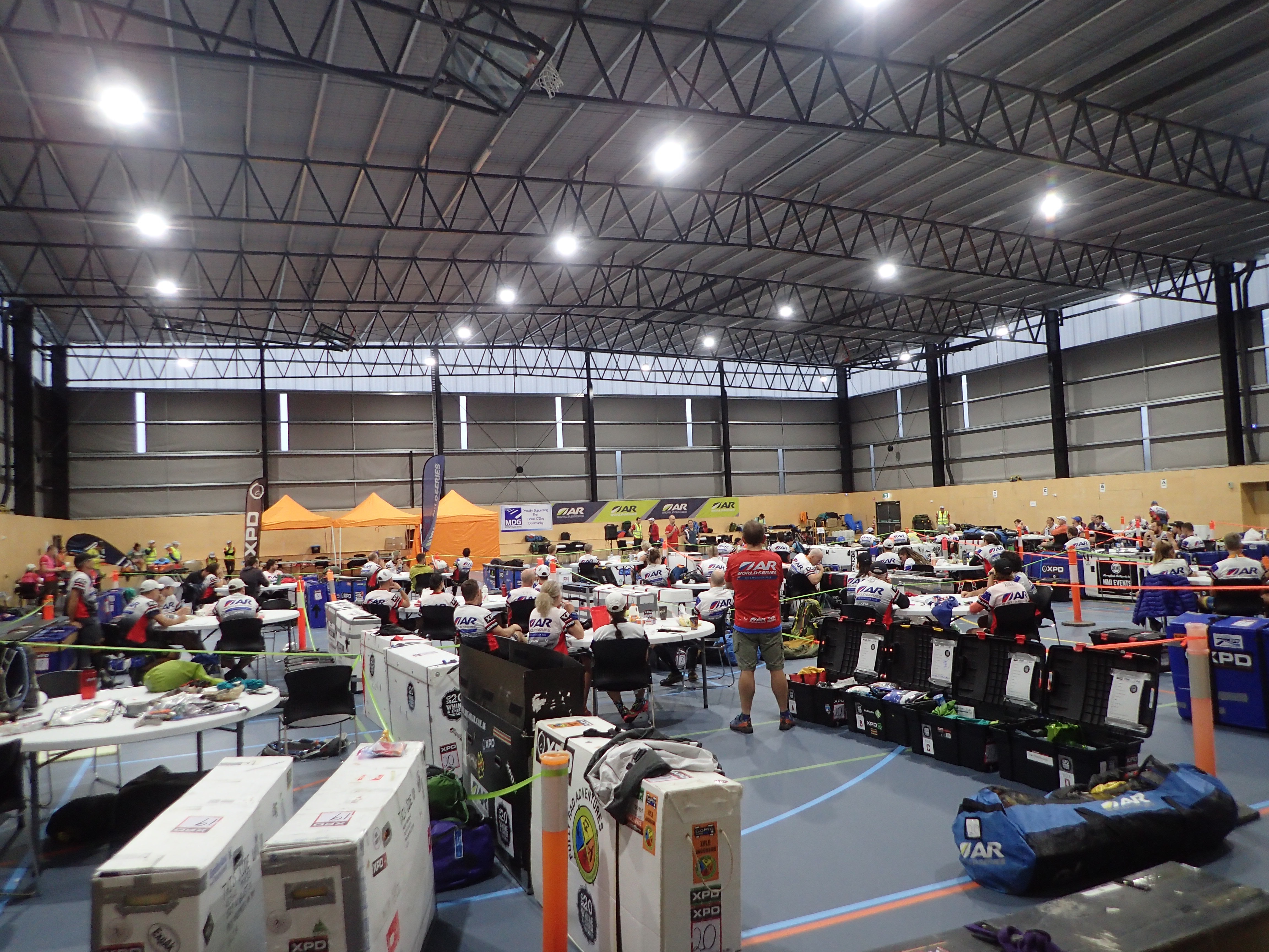
Each team had a designated spot at HQ for the entirety of the race. Made organization super easy!
From there, it was off to the retro chic of the Queechy Cottages and the beginning of a frenzied 36 hours of final prep.
Going into the race, we had some general performance goals, but mostly we were focused on enjoying the journey that Geocentric would undoubtedly offer us. Though the field was small, we expected a strong lineup of local teams, and we knew it was in our best interest to focus on our own race and not get caught up in the competition. We wanted to trek through the Tasmanian bush, to avoid two-wheeled collisions with wombats and wallabies, and based on the recommendation of our friend, Aussie-expat Kate Matthews, to sample a few savory pies along the way.
We learned at check-in on Saturday morning that Legs 1 and 3 (both short coastal paddles) would be canceled due to high winds. Consequently, Legs 2 and 4 were modified as well. None of the changes dramatically affected course flow or time projections, so we didn’t worry too much about swapping out gear or re-sorting calories.
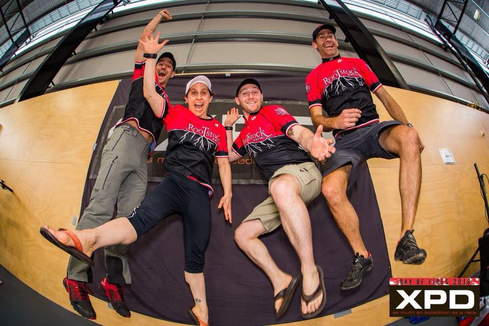
Lockdown began at 8:00am Sunday morning, which meant we had two hours to study maps and take in the course. Based on the limited information we had before the race and the short time we had to distill the different legs, I estimated that if all went well, we would finish around 4:00pm Thursday afternoon.
At 10:00am, we boarded coaches for a short bus ride to a “surprise” location (a section of beach on the modified Leg 2). There, we were greeted by town officials for a quick welcome, and following an unceremonious countdown, we were off!
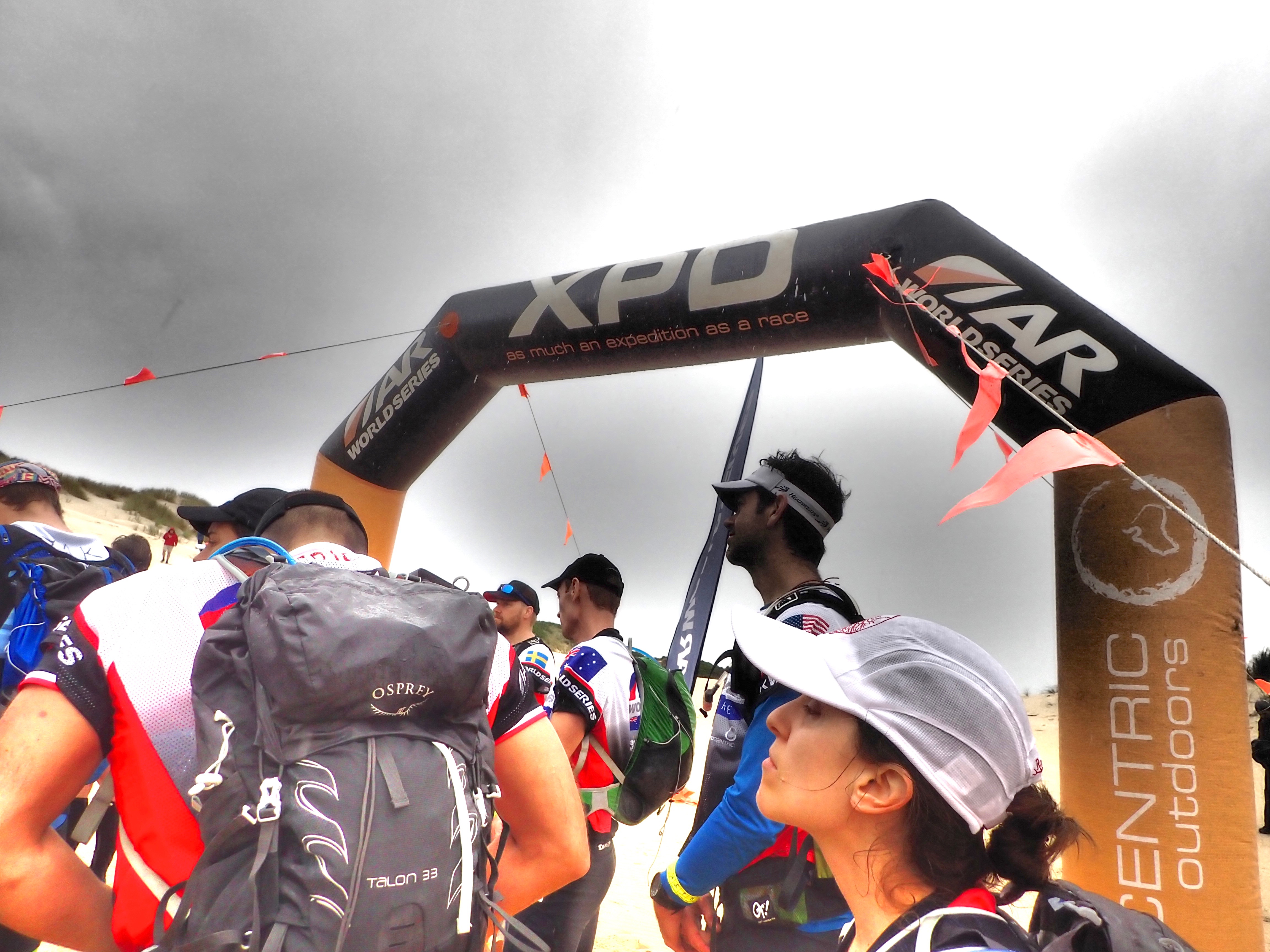
LEG 1 – Beach Run
We began with a 10-15km beach run/coasteering leg along the Tasman Sea. I hate the adrenaline surges of fast starts like this, but I knew it would be relatively short-lived, so I put my head down and followed the guys down the beach and across the sand dunes to retrieve seven lettered CPs, each of us punching on individual wrist bands as proof that we’d been there.
There was lots of jostling among the top several teams here, but at some point we left the beach and found ourselves alone on a beautiful stretch of trail — green and lush and rolling, and exactly what I pictured Tasmania to be. We popped out onto a rocky point of the beach and discovered that we were momentarily in the lead, but then we entered a technical coasteering stretch and I fell back a bit on the slick rocks.
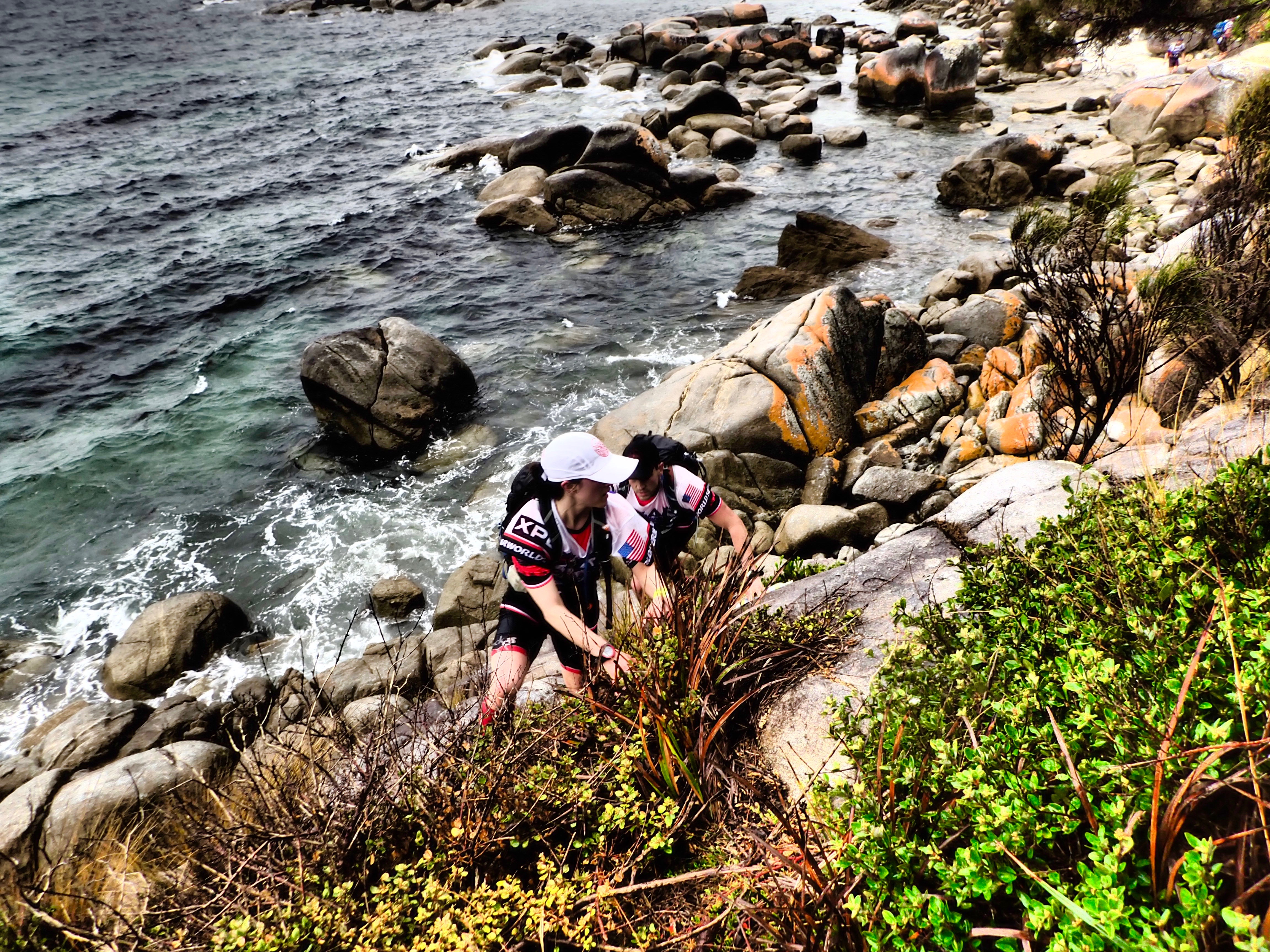 Toward the end of that stretch, I slipped awkwardly, cutting open my left knee and cranking my right. I shook it off and we continued on, sprinting down the beach for the last CP and then backtracking along roads to the TA. The last kilometer or so, though, I noticed sharp pains along the outside of the right knee. Ryan grabbed my pack and we continued to run hard, coming into TA within a few minutes of the leaders. I tried to put it out of my head, but it was hard not to think back to Ireland, where IT band issues took a huge toll on my race experience.
We built our bikes and set off for a short ride through the Scamander Forest…
LEG 2 – Hike-a-Bike
This leg began with the same ferocity as the previous one. We spun through a couple steep climbs before the solid line on the map turned dotted and the dirt road devolved into muddy jeep track as we lugged our bikes up steep pitches and across cliffy creek banks. The challenge of these short opening legs was that we didn’t settle into a sustainable pace — we worked our way through the terrain with a frenzy usually left for 12-hour racing.
There was more on the ground than the maps offered, so Brent (with Eric on the second set) carefully led us through the various junctions, gaining confidence on the terrain as we clicked through the CPs. Just after checkpoint 7, Eric picked up a subtle five-way junction that led us straight down into a valley and through a network of trails, with teams going in every direction. We turned right and continued on our way, hoping to avoid notice of other riders. A couple kilometers after the junction, we ran into the Wild Yaks, who we knew to be a strong Aussie team, in search of the elusive CP7. We pointed them in the right direction and continued on our way, crossing back onto roads and nabbing the final two points – on either side of a small bridge – as we sprinted into TA to drop our bikes and ready our paddle gear. We were hanging in 4th-ish place at that point, but with the exception of the Antelopes who had already opened up a commanding gap on the field, everyone was right on top of each other.
LEG 3 – Up-River
This paddle took us about 13 kilometers up the Scamander River to the next transition, without any checkpoints along the way. Ryan and I took one boat, with Brent and Eric in the other, and this configuration worked out well for the duration of the race. We expected that the Aussie teams would be significantly stronger on the water, and so we were only a little bit surprised when the Wild Yaks came barreling by us just a few minutes into the section. Maybe we shouldn’t have given away the location of CP7, after all!
About halfway through the paddle, Brent suggested that we cut off a section of the river with a quick portage across a grass flat. It was a risk, he told us, but a relatively low stakes one, and maybe we’d gain a little bit of time.
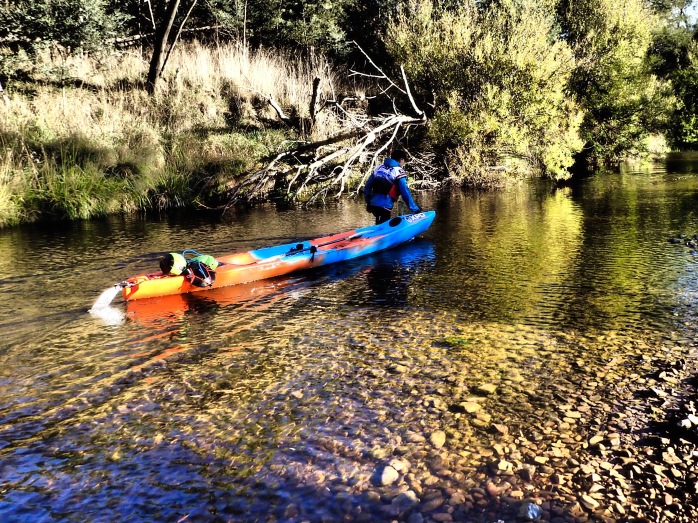
We pulled off the water and dragged the boats to the next bend. It was a bit further and slower than we’d anticipated, and we may have ended up losing a little bit of time, but it wasn’t significant either way, and it was a nice break from the headwinds and unfriendly currents. Plus, Eric and Brent spotted the first wildlife of the race in the grass — a wallaby, hopping across the field!
We made quick work of the rest of the leg and arrived at the next TA having given up relatively little on the rest of the field. One of the volunteers told us he liked our decision to portage and appreciated seeing teams taking risks out there. A reminder of how good the Open Tracking system is and how attentive race personnel are to those small details!
LEG 4 – Is this the real life? Is this just fantasy?
This first longer leg also offered the first measurable route choice of the race. Early in the stage, we could either ride directly through some of the dashed trails on the map, or swing around a wider jug-handle, adding roughly 8km but potentially limiting elevation and sticking to the safer and presumably faster roads. Given what we’d encountered on Leg 2, we decided that the additional distance might be worth it if we could ride the whole thing while others were hiking through mud.
We got to the first intersection – the point of decision – with the Nordic Island team just a hundred meters behind us. Thinking about what others might be planning and just generally getting a bit disoriented, we ended up turning right, off-course entirely, instead of staying straight to pick up the longer route. Brent caught it quickly and we were able to cut the distance on a mountain trail back up to the road, but it was a messy, steep climb that required a fair amount of energy to lug our bikes up and over the ridge. At least our blunder rewarded us with another wallaby sighting, this time a near-miss as it darted out in front of Ryan while we screamed down the road.
Within half an hour, we were back on our intended route, and we sped through those additional kilometers to the first checkpoint. We learned later that the dashed road was perfectly rideable, so teams that took the more direct line did make up some time, but given the information we had on the map and the conditions we’d seen earlier in the day, none of us regretted the decision.
We arrived at the CP – a short out-and-back to a cemetery – just as darkness was starting to fall, and encountered several bikes converging. For the next couple hours, we found ourselves leapfrogging back and forth with a handful of other teams. During this stretch, I also became a bit of a zombie. It was only 7:30pm on Night One, but I just couldn’t keep my eyes open. I ate. I caffeinated. I tried to talk to my teammates, and to engage with the other racers around us. Nothing worked. I’m not sure if it was the travel and jetlag, or the general fatigue I’d been feeling pretty intensely in the weeks leading up to the race, but I simply couldn’t stay awake. I shook myself out of sleep several times on a long descent, and counted myself lucky that I hadn’t fallen into a ditch. Ryan came up next to me and started telling me stories of past races, and gradually I pulled it together, but it wasn’t what I wanted to be dealing with in the first hours of darkness of a 100-hour race.
Back on the course, several teams were still riding together and jockeying for position, but as we made our way toward the original plot of CP13 (the checkpoint had been amended before the race), everyone blew up. We took a route that led us on a short bikewhack through the forest, and when we emerged there, we started losing teams, one by one. In the final kilometers, we found ourselves all alone, no idea whether we were ahead of or behind the pack, but continuing to focus on our own race and belt out Bohemian Rhapsody under a blanket of stars.
LEG 5 – Hike-a-Boat
We arrived in transition, surprised to find ourselves in second place. Wanting to maintain that momentum, we shook off a pokey TA, packed up our bags, gathered our paddle gear, and received instructions for the revised start of the next leg, what was to be a 38k paddle that was slated to take roughly 10 hours. It seemed that the first 5k of the river was so low and strewn with obstacles that course testers had deemed it impassable, so instead we were to take the road to the police station in town, and then turn north from the “old jail” onto a farmers trail that would take us through the marshes along the water and lead us to CP15, the new boat put-in.
Except that the police station and jails were not the notations the volunteers highlighted for us on our map. And turning north from the old jail would have put us on the opposite side of the road from the river. It took 30 minutes just to figure out our way out of the TA…

Sounds simple enough, right?
…and that is how we found ourselves picking our way through dense riverside thicket, climbing through electric fences and barbed wire, and knocking our paddles on braided trees and branches. But, if you squinted and turned your head just right, you could kind of make out a rough trail. There was no flagging or any other markings, but the volunteer in TA had mentioned the marshes, and we figured as long as we stayed along the river, we would get there eventually. And while it was sloggy and annoying, we assumed that since everyone was doing the same thing, we couldn’t really complain.
After three hours of this, we looked up toward the off-limits road and spotted what seemed to be four headlamps, traipsing along at a solid clip. We beelined for the lights, and eventually crossed paths with our friends, the Wild Yaks, who had found a true farmers trail that went through the cow pastures along the road. We abandoned our earlier effort and continued along their route, putting a small gap on them as we shuffled down to the water at first light.
We set up the boats, punched the CP, shoved off, and quickly discovered why this leg was meant to take so long. For the next eight hours, we alternated between pulling the boats over shallow rocks, lugging them around, over, and through massive obstacles, and paddling into swirling wind gusts that someone told us topped out at 120kph. I’d never seen water do what it did there — literally shooting spray off the river as though someone had flicked a finger on the surface and set off a cyclone.
It was a hard effort, especially for Ryan, who commandeered our boat while I carried the paddles and gear, but it was also a beautiful river, and we caught sight of quolls (cat-lemur-monkey marsupials), pademelons (tiny kangaroos) wallabies (including one who appeared to walk on water at one particularly shallow spot), and even a platypus, which Eric spotted as we were counting down the final kilometers.
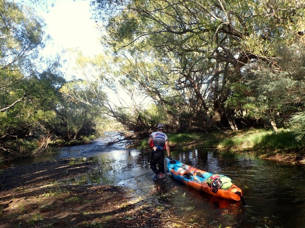
With the winds continuing to kick up, we were happy to be done when we pulled into the TA at 1:00pm. The Yaks had passed us earlier, a spot where we’d lost the river entirely and lugged the boat through high grass, but we knew they weren’t too far in front. Excited for what lay ahead, we swapped our paddle gear for our trekking kit and embarked on what we knew would be one of the crux legs of the race.
LEG 6 – Big Ben
The section began with a handful of kilometers of climbing on roads, a good opportunity for us to eat our rehydrated meals and get our legs under us before we entered the forest for what was essentially a 35 kilometer bushwhack.
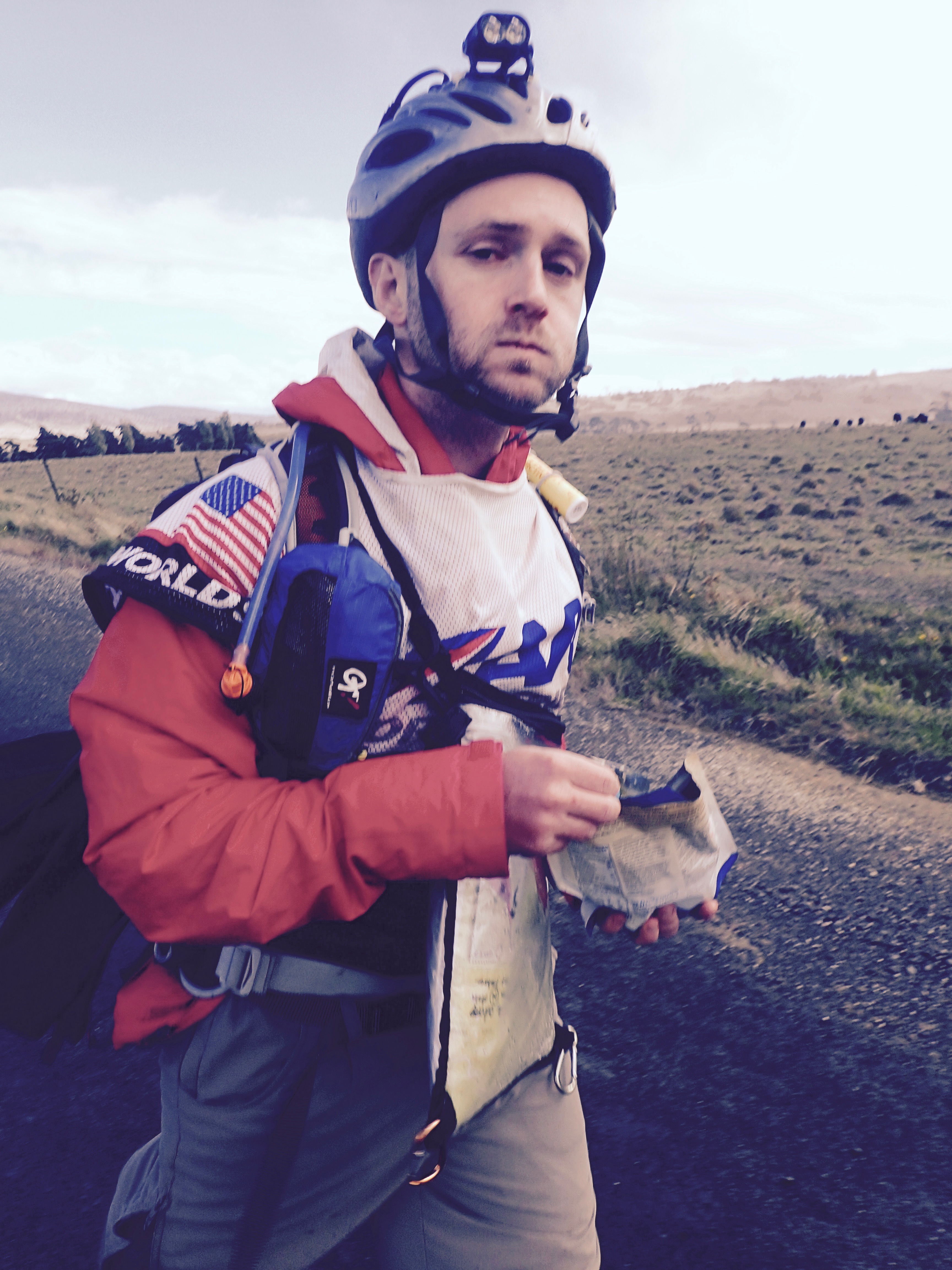
When we left the road, we started with a steep climb up to a ridge, where Castle Rock loomed over the valley below. At the top, the winds rivaled what we had encountered during the 2016 tropical storm in Ireland, and after a few minutes of fighting the sharp gusts we dropped down to sidehill around to a spur, which would pull us up to the next CP. We had already been moving steadily, but the surge of adrenaline that hit when we caught and passed the Yaks boosted our pace further.
By then we were watching the clock, aware of the quickly diminishing daylight. Initially we wanted to get to the first CP before the sun went down. Then we sought to make it to the top of the next ridge, to be able to see the expanse ahead of us. When we got there, there was still about 90 minutes of usable light, so we made it our goal to the get to the attack of the next point, an old and unused railroad bed. We were moving well here, with Brent and Eric managing the maps near flawlessly, and with conditions still favorable we found the old mining bed with relative ease. We continued on for the next hour (spotting a Tasmanian Devil or two along the way!), before we had to pull out our lights. We paused to reorient and wondered briefly if we’d gone too far, but following the First Rule of Adventure Racing, we pushed on another couple hundred meters and came right onto the point.
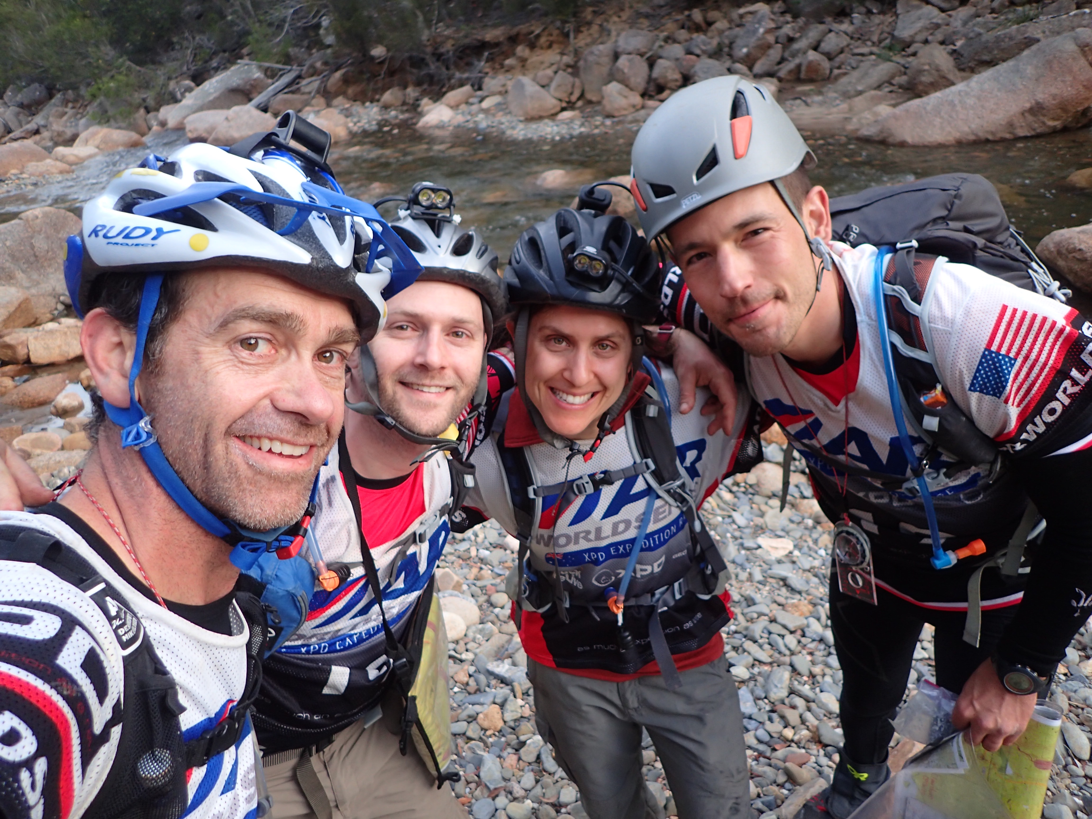
From there, it was just a quick whack out to a road, which we followed for the next 90 minutes or so, to CP20 and the base of the climb up to Ben Lomond.
While we walked, we worked over our sleep strategy. We were going into Night Two and one of the hardest sections of the course. We considered risking it and pushing through to the next TA, but it was windy and cold — with forecasted snow up top — and there would be limited options to stop if we got ourselves into trouble. That, coupled with the fact that the monotony of the road was wearing on our energy, prompted us to find a place to sleep before the ascent.
We poked around for a little while before ultimately bedding down right near the CP. We had our bothy and our bivvy sacks, so we made do okay, but it was a chilly few hours. Three hours later, we packed up and began the steep climb up the boulder field to the alpine ridge, saying hello to the four-man team of DASH, who had just arrived at CP20 and were looking for a place to sleep.
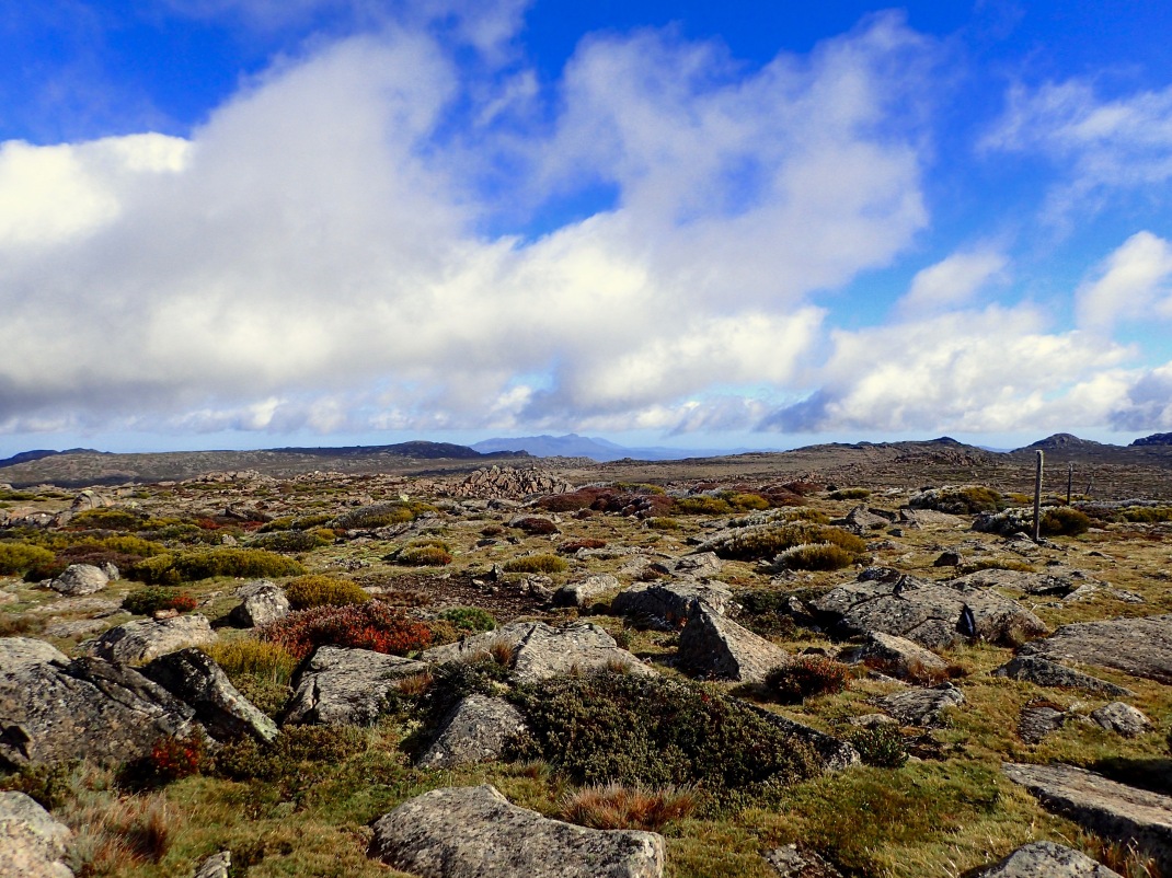
Eric and Brent worked together closely on the maps, pulling each other – and us – onto the right spurs and ridges, following the contours and creeks as they swept around the heathered, rocky landscape, overlaying a plateau of water courses. We trekked under a spectacular sunrise, boulder-hopped through an early-season snow, and communed with more wallabies as we made our way up to CP21. It was just a stupendous section.

At the CP, we were greeted with energetic race volunteers, who suggested that we “not dilly dally” into transition. My knee was smarting pretty good by that point, especially as I pulled myself through the thick, tall heather, but my spirits were high and my energy was good, and so I handed off my pack to Brent and we all picked up the pace a bit and shuffled down the final rocky slope to the TA, housed in a piping hot ski hut. We arrived still in second place. Our energy flagged just a bit as the warmth of the hut drew us in, but after a few minutes we refocused our efforts, built our bikes, and shoved off for the biggest ride of the race, 115 kilometers with 2500 meters of elevation.
LEG 7 – Blue Derby
The leg started with several kilometers of screaming downhill, and as with Night One, I found myself falling asleep on each straightaway. I made it down to the bottom, but not without jerking myself awake several times. When we got to the valley road, we paused to pull our rain jackets off, and entered an impromptu rap battle to keep ourselves fresh. I think Eric and I stole the show with our rousing rendition of the Fresh Prince theme song.
In West Philadelphia…
For the next several hours, we rode along paved valley floors and up and down steep fire roads. We were pacelining, moving well, navigating smoothly, and enjoying the scenery. Craig and Louise joined us briefly on one of the long climbs and got an excited earful about all the animals we’d seen, and we spared a few minutes during a bathroom stop to nab a round of ice cream cones in town. It was really just great.
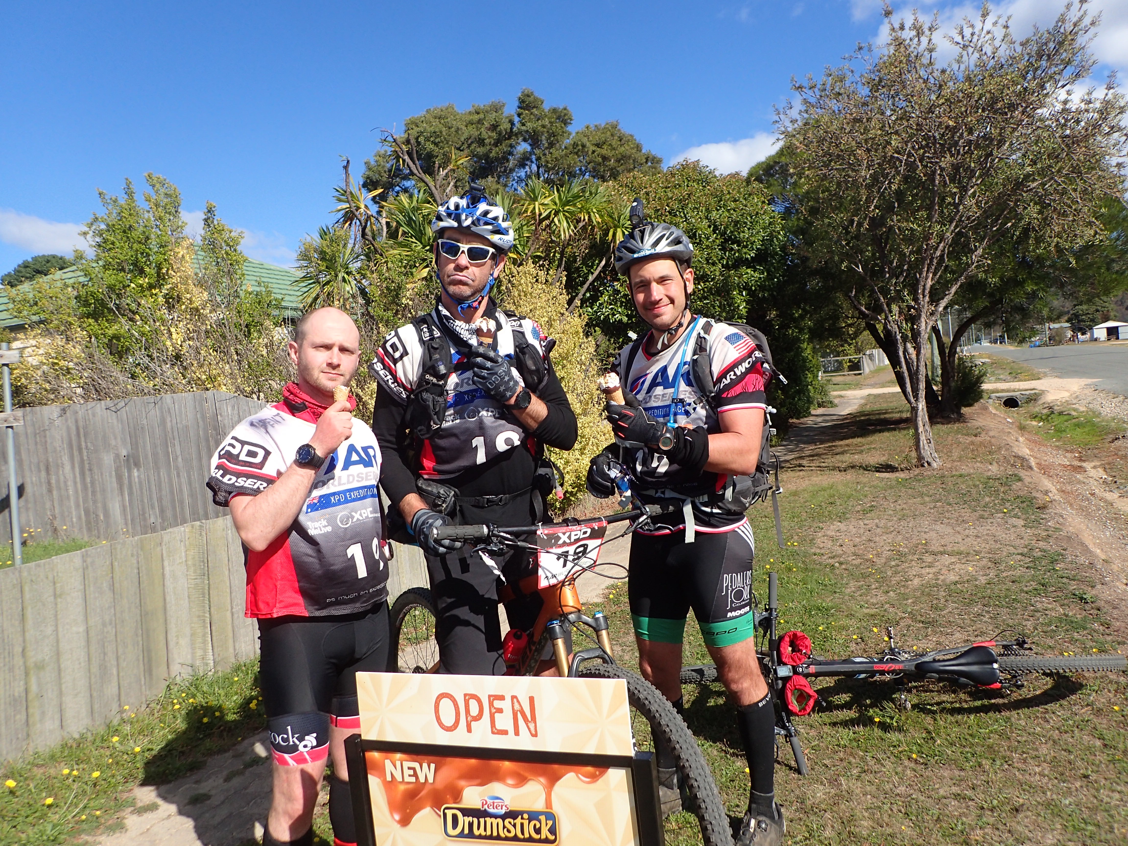
I also started focusing specifically on descents, letting go of my brakes and following the line of whoever was in front of me. It had the double benefit of speeding us up and keeping me awake on the long drops, and would come into play at the end of the race.
We spent some time debating whether to stop at one of the many pubs and cafes along the route (conveniently and convincingly plotted on the maps), but decided instead to maintain our momentum and continue on through the end of the leg. As dusk started to fall, I became aware that I was starting to fall behind on calories — a combination, I think, of the advil I was taking for my knee and the fact that none of my food was remotely appetizing — but I was still feeling good and riding well.
(Something I realized during this event — I’ve typically treated expedition races as a series of 12- or 24-hour races in terms of nutrition, with the same monotonous bags of performance food and snacky stuff prepped for each leg. While that’s worked some of the time, more often than not it’s led to fueling issues. Now that I’ve named it, I’m excited to work on it for Untamed.)
The last section of this leg took us on a 12-kilometer climb up to the top of the Blue Derby Trails, one of most famous mountain bike parks in Australia. We were to ride the Blue Tier, 18km of single track, offering stellar flow, big drops, wide berms, and rock gardens — pretty much everything you could ask for on one ride, all in pristine condition. I had been looking forward to the section but expected that the flow-happy guys would all ride substantially quicker than I would, so my plan was to stay at the rear and just have them wait for me as needed. After settling in, though, I found myself comfortably hanging off the back, enjoying the rhythm of the trail and the sharp focus of the technical terrain.
Everything was going smoothly, until two kilometers from the finish, when Eric rode head-first into a low-hanging tree. He bounced off the back of the bike and fell flat on his back in the middle of the trail, his bell sufficiently rung. I called Brent — our resident WFR — back to evaluate. Brent took him through the injury protocol, and luckily Eric was totally fine, but we took that last stretch a little bit slower and coasted into TA at 11:00pm, an hour too late to enjoy the famed Weldborough Hotel Pub (which we heard about from just about every person we encountered, as the race wore on).
We went back-and-forth for a few minutes but ultimately decided to get another two hours of sleep in TA. It wasn’t the ideal place for it, but we didn’t know what we’d find on the trail, and we thought that curling up in the big U-Haul would give us some protection from the elements.
Already depleted nutritionally, I should have eaten something hearty before I went to sleep, but I was feeling rushed to lie down and take advantage of the time, so I had a few bites of Eric’s spaghetti-o’s and curled up in my sleeping bag, shivering through the next two hours and waking up in pretty bad shape.
LEG 8 – F’ing Flagging
The guys helped me through transition, and we walked out a little while later, mountain meals in hand (and one in my pack, because I couldn’t seem to wrap my stomach around eating something substantial and instead opted for a lighter oatmeal packet to start), ready for the next long trek. The Yaks came in as we were getting ready to go, so we knew that we had at least a couple hours on them, assuming they elected to sleep there as well.
Based on the course schematic and time projections, we had planned seven hours for this trek through the myrtle forest. Those time estimates quickly went up in smoke. We started with a bit of a nav bobble in the cow pastures, as Brent was more focused on his mountain meal than the maps, but righted ourselves into the forest in search of the infamous pink tape, which we would attempt to follow for the next 25 kilometers.
The first challenge was sticking to the tape at all, the heavy darkness making it near impossible in places to spot the next marking. In this early stretch, I was a bit of a zombie, but soon enough the guys put me on tape-spotting duty, and that worked out well, as it woke me up and gave me something to focus on, and allowed them to concentrate on bearings and contours without getting mucked up in the flagging.
We started moving relatively efficiently and made our way to the area where the first CP was meant to be, at the base of a “big tree” on a spur off of the flagged route. And there we wandered for hours, spoking outward from the pink tape to make sure that someone always had eyes on someone who had eyes on the pink. It was unrelenting, and we were positive we saw other headlights in the area. Ultimately, after half a dozen different attacks, we made our way out to a road – our only known point – and then walked down to our elevation and painstakingly followed a bearing 900 meters back in. By this point, it was daylight, and we were able to see the land and the features, which helped immensely. Eventually, Eric dropped into a reentrant and worked his way up, hitting the flag dead on.
We were all relieved, but also pretty deflated. So, Brent circled the wagons. “Okay guys,” he said, “what do we want to do here? Are we going to meander through the rest of the day and see where we end up, or do we want to race?” We looked at each other and nodded emphatically, the pep talk having its intended effect, and then we picked up our pace as we trekked up and over a ridge to the second half of the section — more pink flagging along the Rattler Range to Ralph Falls.
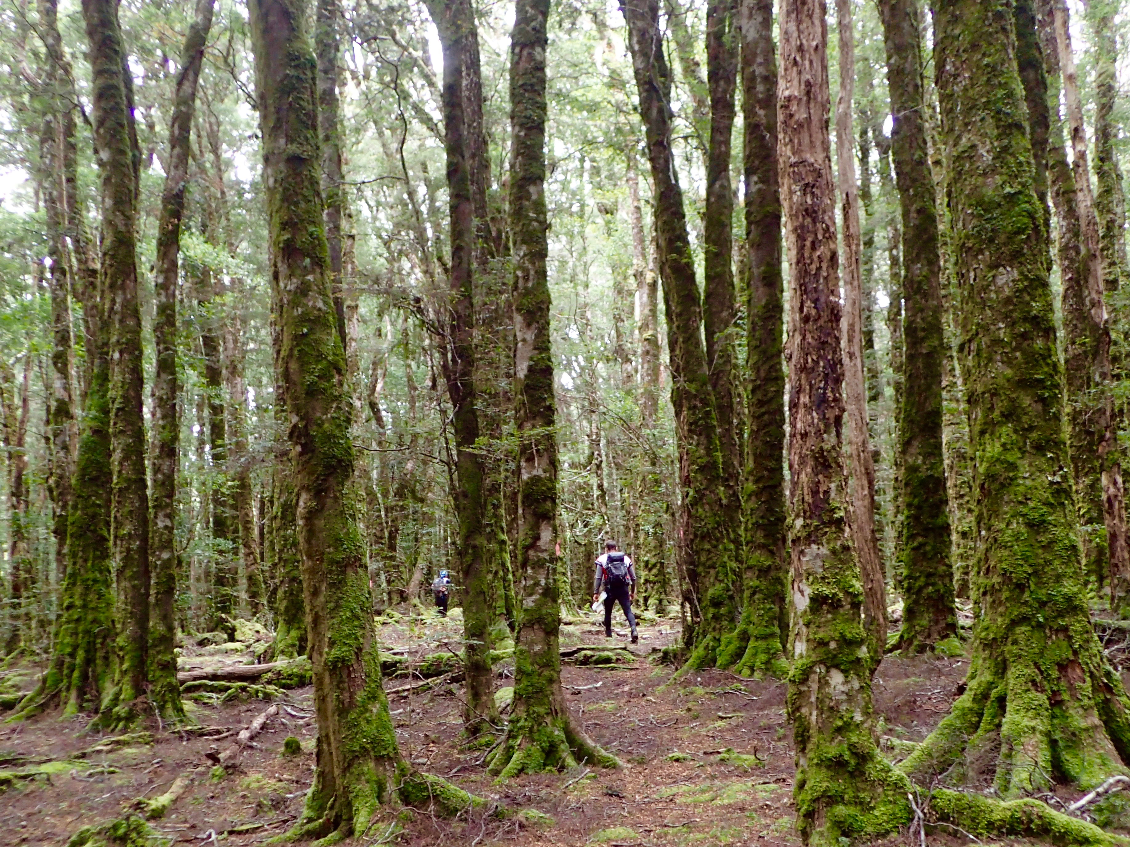
Brent spiked that point perfectly, and as our energy buoyed, we began to run along the muddy path toward the next CP. That is, until we paused for a bathroom break, and when we began again, we somehow followed the wrong pink flagging back around in a loop, finding ourselves back at the CP we’d just visited. It had only cost us 30 minutes, but once again, it was pretty deflating. Our pace slowed, and we trudged along through the rest of the section, intermittently losing the flagging and having to pause to reorient.
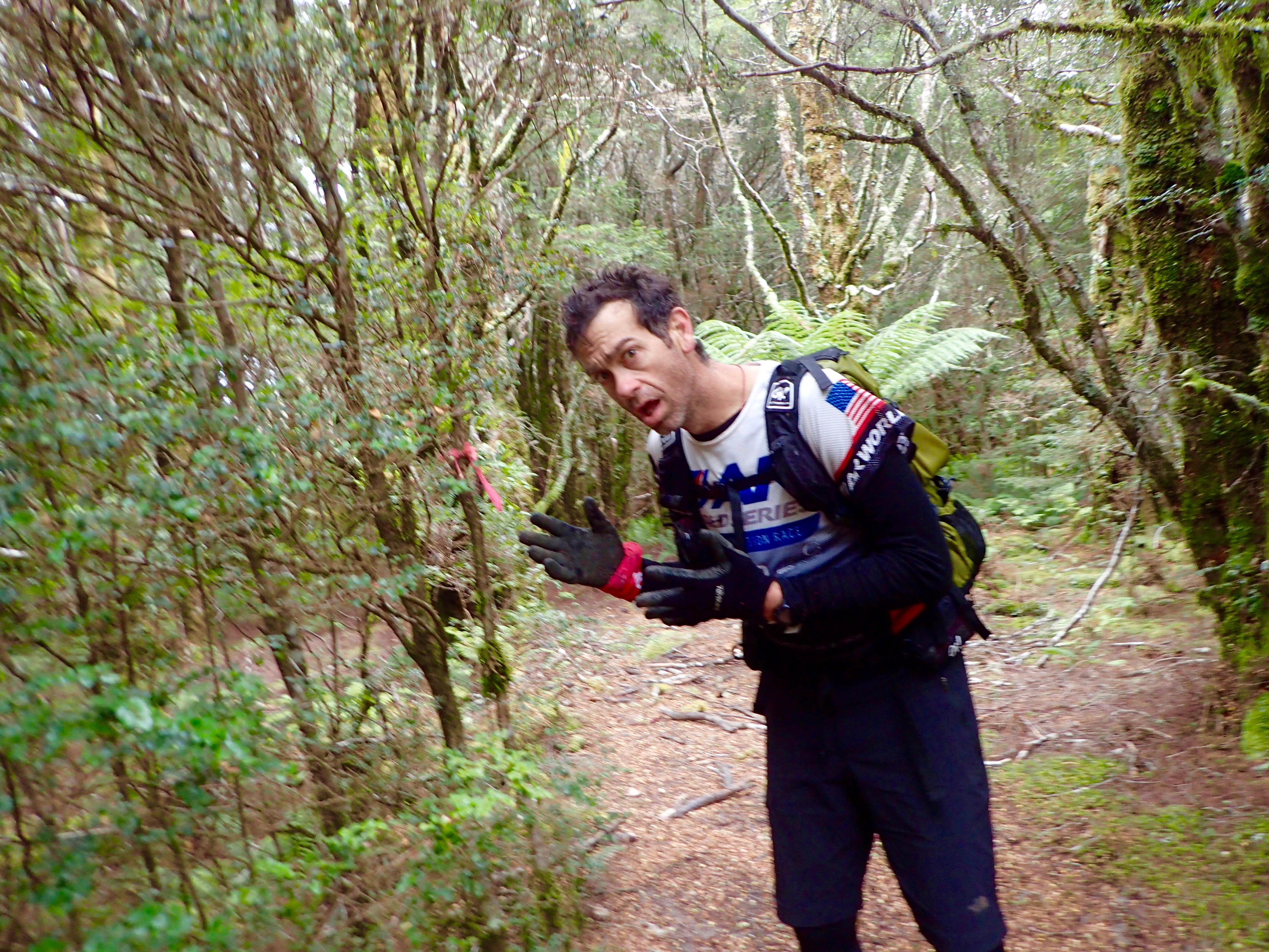
Not the right pink flagging
The leg ended with a descent into a creek, before climbing back up to the viewing platform at Ralph Falls. As we ascended up from the creek, race ref Igor popped out of the bushes. “Busted!” he yelled.
We all looked at each other in horror, wondering what we could have possibly done, until Igor started smiling at us. We dissolved into delirious giggles, answered a few questions from the media person accompanying him, and pulled ourselves together to run the last kilometers to the point and into the TA, astounded to find that we’d maintained our second place position.
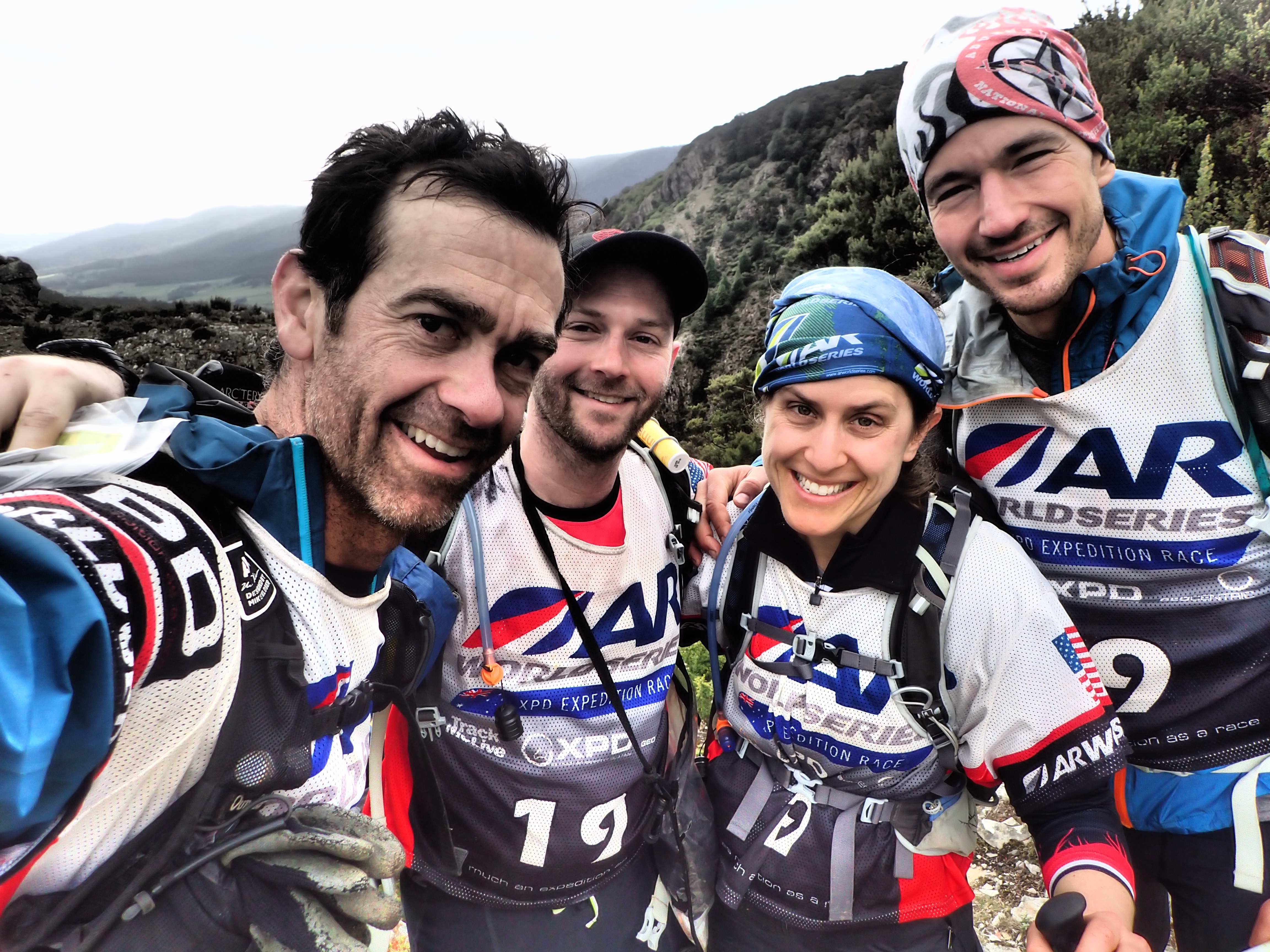
We’re thinking of getting t-shirts made, saying “I Survived the Pink-Flagged Forest.”
As we were building our bikes, DASH came rolling in. Ryan pulled a couple leeches from his shoe (hangers-on from the muddy ridgeline creeks) and we picked up our pace and shoved off for a 100km ride to the beach.
LEG 9 – Wombats and Wallabies and Possums, Oh My!
This was a pleasant and not particularly noteworthy ride through the Tasmanian farmlands. Once again, we opted to avoid stopping at pubs or cafes, but since I knew I needed different food from what I had, we made a quick pitstop at a grocery store, where I walked out with a banana, a liter of milk, a few snowflake rolls, and a chicken and camembert pie. I ended up largely ignoring the milk, but I shared the rest with the boys over the next several hours and got a needed boost of energy for most of the ride.
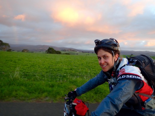
We rode past cow pastures, Brent yipping and yelling and inviting herds of cattle to chase him down the roads. We chatted with local kids, who asked what “shock systems” we were riding and told us that they liked living in small towns because there were fewer kidnappings. You can imagine the number of references to Antoine Dodson’s “Hide Your Kids, Hide Your Wife” tv spot that came in the miles that followed. We passed back onto forest roads, where we established a great system, with Ryan and I riding steadily while Brent and Eric alternately sped up and slowed down as they managed the maps. We were never out of eye- or earshot of each other, but it allowed us to maintain efficiency while keeping sharp focus on the nav.
After the last CP, Brent masterfully whacked to an invisible trailhead (“I wonder how many teams that’s going to get,” we mused), which took us out to the main road for 20 kilometers leading straight to Musselroe Bay and the start of the final trek. By that point, he had been so focused on maps, that when the nav let up, he started to fog over. We paused at a little school in Gladstone to get some food in him and regroup. Brent needed a short nap, and never one to pass up sleep, I curled up next to him in the bothy and woke up 15 minutes later with an uneaten cheese sandwich in my hand.
Brent settled back in quickly and we continued on our way, through what was essentially a wild animal park of wombats, wallabies, possums, and even a little owl, all darting out across the road. It would have been a ton of fun, but I woke up from our nap still pretty tapped out, and spent those 20 kilometers dry-heaving on the bike as I slogged down the road.
Brent has dealt with those empty-stomach heaves before, so he and I strategized about a recovery. Start by nibbling on crackers. Maybe graduate to teddy grahams. Just keep taking in small amounts, until you’re settled enough to take in more. And gradually, that’s what I did. First on those final kilometers to the TA, then as we transitioned, and then into the next leg. I was never totally on the other side, but I got myself stable enough to get through the race without further compromising the team.
LEG 10 – Bay of Fires
When we arrived in transition, we took note of the fact that there were only two sets of bike boxes there – ours and DASH’s. This meant that the Yaks were likely not close enough to worry about any longer. We made it our goal to get out before the four guys came through, and had our most efficient TA of the race to that point, breaking down our bikes for the last time and loading up on food for the 40-kilometer beach trek along the famed Bay of Fires.
It was 1:45am when we left TA, which meant that we had to contend with five hours of darkness along a nondescript sandy beach. It was an undiscovered form of torture. We all dealt with some variation of sleepmonsters, from reading messages in the seaweed to sleep-walking dangerously close to the surf. Ryan pulled out his iPod shuffle, which we rotated among us, we belted out more Queen (and a little bit of Peter, Paul, and Mary) into the dark sky, and we ended up taking two 15-minute naps in the sand. It wasn’t much, but it got us through the night.
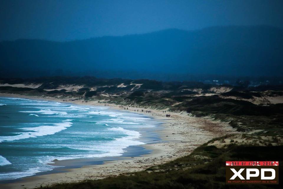
To add to the challenge, all the lugging and lifting of the past three days had taken a toll on Ryan, and his central back muscles simply gave out on him, reducing him to a hunched-over lumber for the entirety of the trek. He gave up some gear to Brent and his pack to Eric early, and alternated between leaning on one of my shoulders (an advantage to the team’s height disparity!) and using one of my poles.
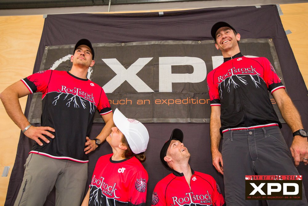
Said height disparity…
His capacity for suffering was truly remarkable, and while we weren’t moving quickly, his drive for forward progress buoyed the rest of us considerably.
Once the sun did come up, we spent a fair bit of time looking behind us, waiting to see another team. And sure enough, just as we were rounding the final bend along Shark Bay, we spotted four dots in the distance. We picked up our pace then and shuffled the remaining couple kilometers to a channel crossing, Jared Kohlar joining us with random factoids and questions for his Facebook Live audience.
At the channel, there was a kayak, PFDs, and paddles on either side, and we had to figure out how to get all four teammates to the opposite bank. Wading and swimming were prohibited, even though we’d gotten there at low tide and could have easily walked across. As we approached, Brent and Eric worked out a strategy — they would paddle over in the first boat and pick up the other, then return to bring me and Ryan over before paddling back across to drop off the first boat and cross one last time to get themselves and the second boat to the TA.
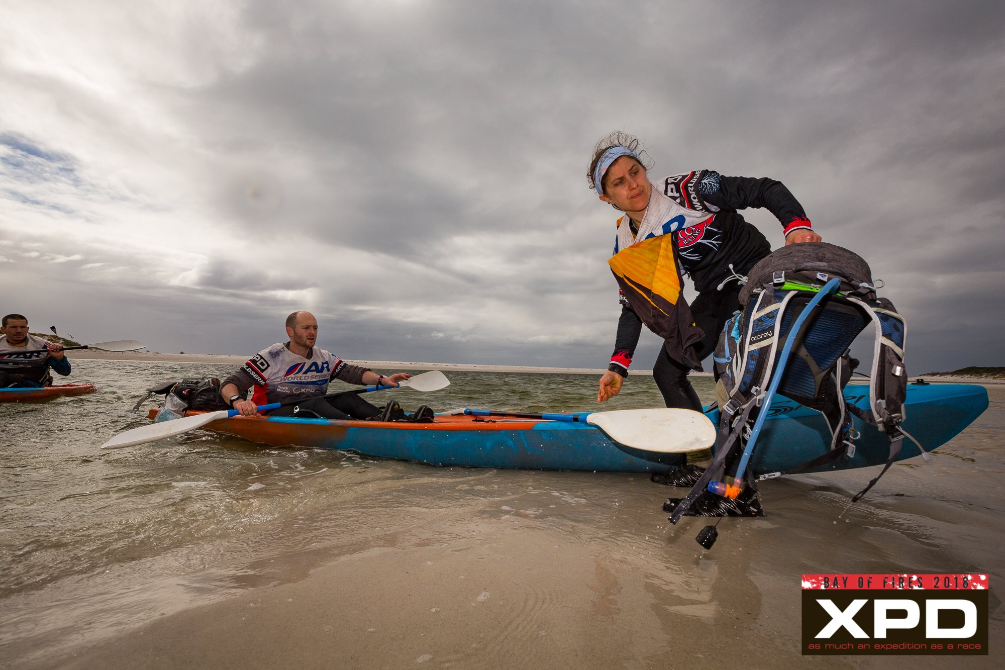
Mid-Crossing
It was a Mensa-like puzzle four days into the race, but they executed it with relative ease, and before long we were zooming through the TA and onto the water.
LEG 11 – The Sprint, Part 1
This paddle took us across the protected Ansons Bay for a checkpoint and then up a narrowing river to a dam and the takeout, a total of 11km. Despite the low tide, we moved well and egged each other on with competitive spurts. At one point, I saw a brown speckled fin just in front of our boat. I thought I’d imagined it, but I later learned that teams had seen both stingrays and small sharks in the water. I’d like to think that I spotted one of them.
Despite the fact that DASH was behind us and closing, Brent found himself falling asleep as we worked our way down the beautiful, winding river, mercifully sheltered from the winds. So, he doused himself with helmets full of cold, salty water, and in keeping with our race week mixtape, he and Eric entertained the entire field with a final rousing duet of Bohemian Rhapsody as we rolled around the bend into TA.
Knowing that Ryan is considerably faster than I am at building bikes, and that he wouldn’t be able to lug the paddle stuff, I suggested that I focus on gathering gear and he work on our bikes. It was a good system, and I ended up getting to my bike just as he was finishing up his. We worked together, having to play around with my rear thru-axel (a new non-quick release, after several instances last year where the quick-release came unspooled while I was out riding) but otherwise moving quickly through TA. We rode out about five minutes after DASH arrived; all that was left between us and the finish, 35 kilometers of forest roads.
LEG 12 – The Sprint, Part II
From the moment we left TA, we were on fire. We sprinted the flats and the hills. I pedaled ferociously and Ryan and Eric helped with intermittent pushes and tows to get over the humps, knowing that’s where we had to make our move. We kept expecting a screaming downhill, but none ever really manifested, instead just short bursts punctuated by more rolling hills. I capitalized on the descents I’d focused on during the previous two days, attacking those short drops with everything I could muster.
The system we’d set up earlier continued to work well, with Brent focused entirely on the maps and the three of us maintaining pace. Halfway through the ride, I started noticing that my gears were jumping, and a couple kilometers from the finish, Ryan asked if I was aware that my rear brake was rubbing. I was, I told him, but I figured that it had just been knocked out of place after four days of racing. Not worth worrying about now — let’s just get to the finish. Only later did I realize that the rear thru-axel had never caught, and it was hanging precariously out of alignment the entire ride, the whole time we were willing ourselves on with “no mechanicals, no mechanicals.”
About 10 km from the finish, we left the fire roads and hit tarmac. There, we picked up our pace again, flying through the hill towns, looking behind us every few minutes for a glimpse of DASH. I was pretty sure I was going to throw up from the exertion and adrenaline — it was awesome.
Finally, we turned onto the main road in St. Helen’s and screamed toward HQ. We pulled in at 3:00pm – just over 100 hours after we began, and exactly 60 minutes ahead of my projected schedule – to raucous cheers from XPD staff and volunteers. I teared up a little bit as we took pictures under the arch (a rarity for me in an expedition that my first tears came after the finish), and then we sat down on the winner’s couch and waited for pizza. “You guys got here a little faster than we were anticipating,” we were told. “It’ll be about 10 minutes.”
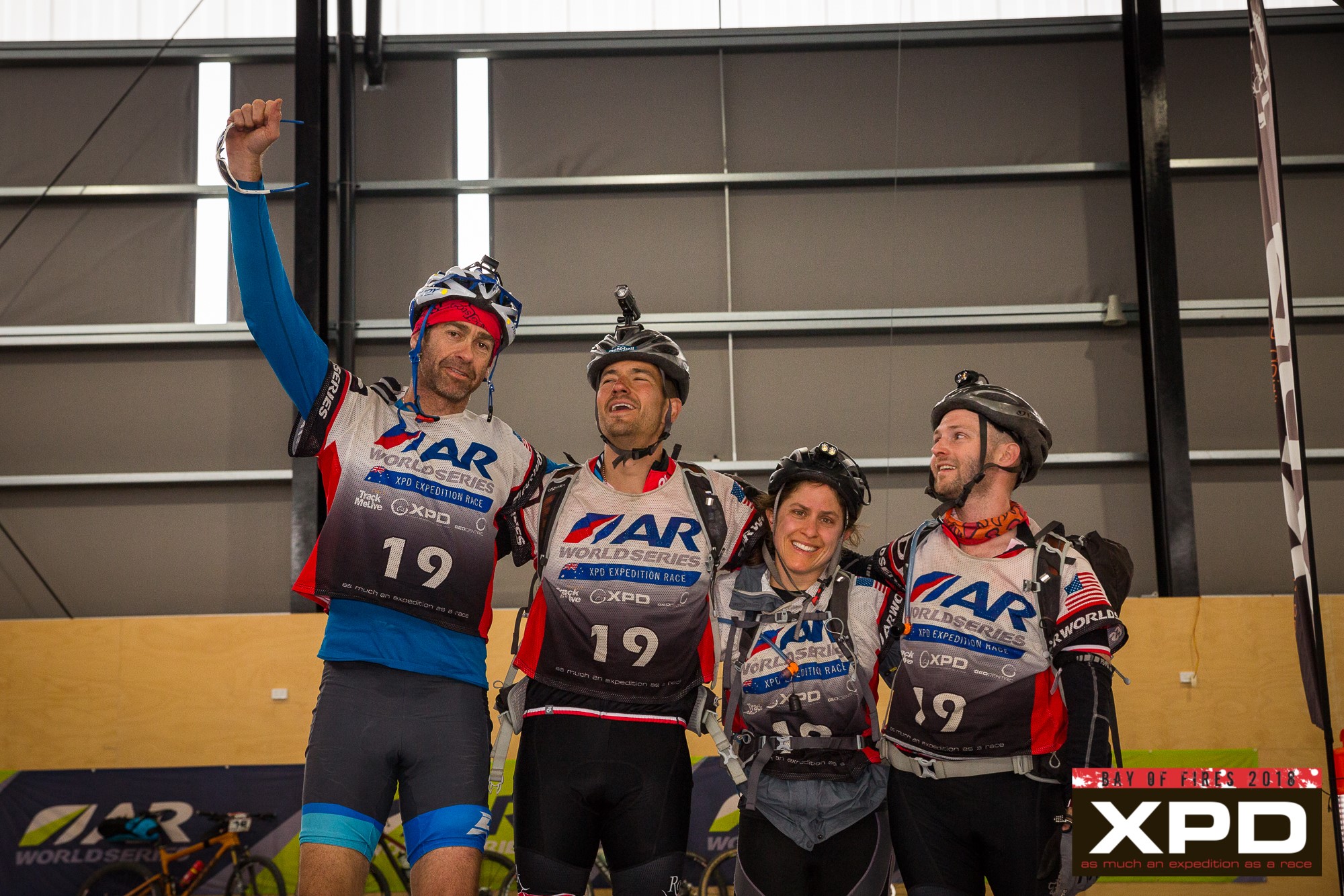
We spent the next two days sorting gear, doing laundry, eating our way through St. Helen’s (I highly recommend breakfast at the laundromat cafe), and enjoying the generous hospitality of our new Aussie friends. Not an hour passed without someone offering to pick us up, transport our bags, meet us for a meal, or take us on an adventure.
The closing ceremony Saturday evening was, as always, a celebration of the sport. We swapped stories from the course, chatted about races long past with Alina McMaster, and daydreamed about adventures to come. Craig and Louise invited each team to share an anecdote about their time in the woods. They revealed a commonality in the power of teamwork, the satisfaction of Type II fun, the dangers of wombats, and the wonderful, rugged wilderness of Tasmania. Thanks to those of you following the race on Attackpoint, we shared our chagrin over learning the true Aussie meaning of our team name, and our retrospective musings over what locals must have thought as we rode through town with Rootstock emblazoned across our chests. “Hide your kids, hide your wife…”
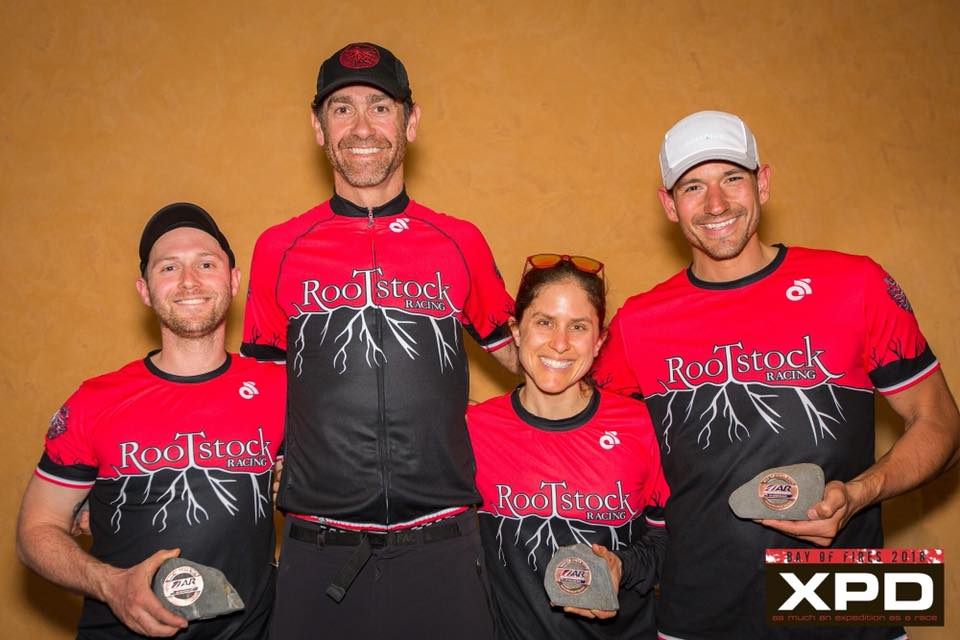
Second place!
Our thanks to Craig and Louise and the entire Geocentric Outdoors team. Our experience, from before we left Philadelphia to hours after the shuttle dropped us off at the Launceston airport for the return trip home, was a testament to community spirit, appreciation for adventure, and attention to detail. We’ll be watching eagerly for the announcement of the next editions of the race, and hoping that we can keep those XPD Blues at bay. We still have yet to experience mid-camp, after all.
And of course, a huge shoutout to our sponsors. We are forever indebted to Kanpas compasses, Foot Kinetics lubricant, Astral PFDs, Thorlo socks, Loksak map bags, Lupine lighting, Autopilot map boards, Trailnuggets bars, and our newest partner, Dirtbags bike bags, for keeping us fueled, healthy, comfortable, and moving in the right direction! These are some of the finest outdoor companies out there, and we’re honored to serve as their ambassadors for the sport of adventure racing. Get in touch if you have any questions about their products!
USARA National Championship
The 2017 season came to an amazing close for the Rootstock Racing team this past weekend. Our old AR friends and family from GOALS ARA hosted USARA Nationals, and their course did not disappoint. The field was deep, and the terrain was physical. Unlike some years, 2017’s course really emphasized navigation, and when we saw that we knew it would be our kind of race.
Despite conversations about training weekends in the general vicinity of the course, we never ended up making it into the woods, so the course was as new and fresh to us as it was to anyone else. We had two teams lined up at the start with Abby, Brian and Jim racing as Rootstock Racing. Brent, Joel, and Nicki raced as Rootstock Racing 2. Both teams were shooting for a strong finish, and if the “A” team had a good race, we had a chance to finish first in the USARA national rankings.
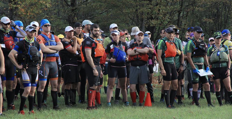
Long stories short, both teams were in strong positions to finish on the podium 2/3 of the way through the race. At that point, Rootstock 2 ran into some issues that caused them to fall back, but Abby, Brian and Jim kept on rolling, all the way to a National Championship title, securing the rankings and also winning the award for the fastest orienteering section.
For complete reports on both teams’ races, check out Abby and Brent’s respective team reports:
This caps off an amazing season for the entire team which included 10 podium finishes and 9 wins, not to mention a satisfying performance at the World Championship and a wonderful trip to race in Iceland.
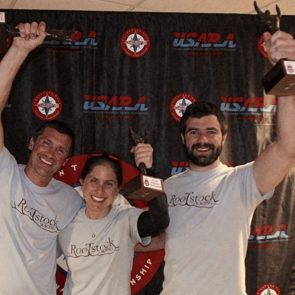
As always, a special thank you goes out to all of our sponsors. Kanpas compasses, SOURCE hydration, Foot Kinetics lubricant, Astral PFDs, Thorlo socks, Loksak map bags, Lupine lighting, and Autopilot map boards. These are some of the finest outdoor gear companies and products out there, and we are eternally grateful to have had their support this season.
Here’s to more adventures ahead!
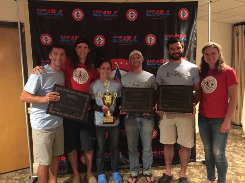
Cowboy Tough
Preamble: Whoa Nelly! This is a long one, but aren’t all of my post-expedition race ramblings? Before I dive in, thanks to all who put any effort into reading this account of the World Championship of Adventure Racing. When you get bored, just look at the pictures:)
And a special thank you up front to our amazing sponsors: Source Hydration for keeping us going in the parched Wyoming desert, Foot Kinetics and Thorlo Socks for keeping our feet healthy as we marched and mashed across mountains and the Continental Divide, Kanpas Compasses for keeping us found when others wandered or drifted, Astral PFDs for being light and cool when summer sun tried to beat us down, Lupine Lights for never running out of juice, Loksak for keeping our maps dry, and Autopilot for being the best map boards around. We can’t race half-as-well without the great gear and support from our terrific sponsors.
OK, now for the story…
Westward Bound: For over ten years, I have watched the Adventure Racing World Championship from afar. As a teacher, it is nearly impossible to take off the requisite time to compete in the biggest event in our sport, but I have lived vicariously through the power of GPS and the ever increasing and diverse reporting that is broadcast through social media. Obviously, this year was a different story with ARWC falling in the summer months, and additionally, the race was coming to the United States for the first time thanks to the hard work of the Adventure Enablers and their team, so sure enough, Abby and I would finally be going!
Unfortunately, the month leading up to the race did not go as planned. In short, our wonderful dog Lupine, whom I had found fourteen years ago on a road-trip out west, took a turn for the worse, and we made the hard decision to put him down not long before my scheduled departure for Wyoming and Cowboy Tough. It was a devastating period of time for me and derailed my final weeks of targeted training. Emotionally worn out, I loaded up our car with our gear and started driving out to the Rockies in the middle of July. The silver lining: our remaining ten-year old dog, Phin, would accompany me west.
We had a wonderful week of adventure as we headed west, highlighted by a crushed car door thanks to a late-night cow stampede in a National Grassland, a wonderful day hike with Legendary Randy in the Black Hills, and exploration of Cuyahoga and Badlands National Parks.
After dropping Phin off with good friend Denise Mast, picking Abby and Zoe up in Denver, and then spending the next week in Yellowstone and Jackson Hole with Abby’s family, we felt ready to race, somewhat acclimated, and eager to get to Casper to meet our teammates Andy Bacon and Mark Lattanzi.
Casper Calm: Usually, the days before an expedition race are a bit fraught and overflowing with tasks and chores. In this case, we had plenty of time, and we worked our way slowly through packing our gear bins, sorting food, going out for steak and pizza dinners with good friends, taking a short day hike on Casper Mountain, and soaking in the hotel hot tub. I know some felt a bit stir-crazy, but after a long month of emotional chaos and driving, I was glad for the few days of relative peace with little to focus on other than sorting gear.
Pools. Rivers. Canyons. It’s all the same. Andy’s first time in the Gnu. Zoe’s special friend watching and ready to race…
The requisite ARWC parade started at the gear-staging yard and meandered along the Platte River, leading the field of nearly 60 teams from approximately 20 countries into the heart of Casper. There we were unleashed to visit a variety of downtown establishments, a brief tour of Casper that saw us dressing in western costumes, riding a mechanical bull, sampling local ice-cream and taking pictures with various local signs and symbols, including a poster of the looming eclipse, a sight that is apparently going to be best viewed in Casper Wyoming.
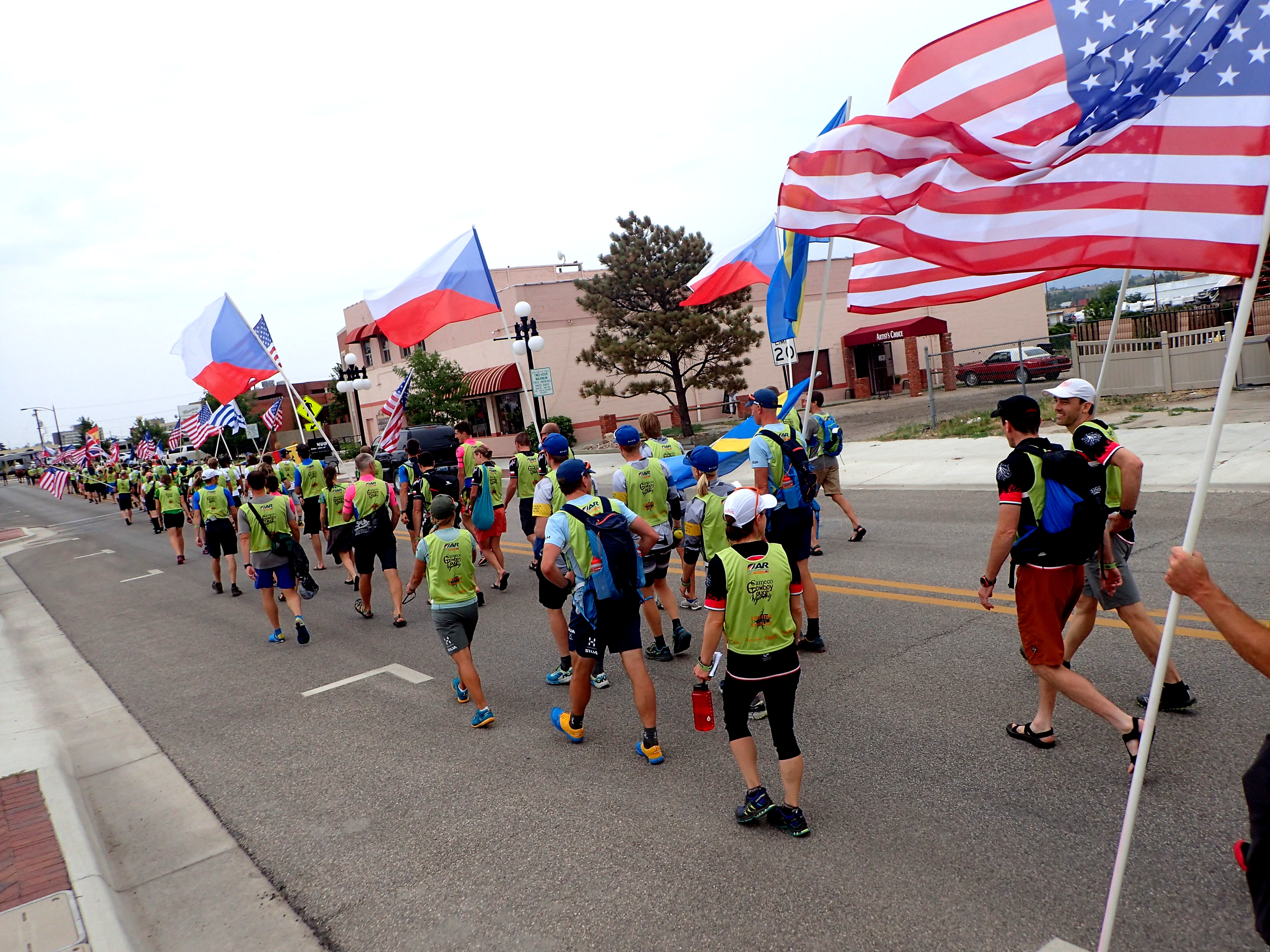
Parading through Casper. Trying to join the Czech Republic.
We finished the evening with some local BBQ, and then headed back for a final night of rest.
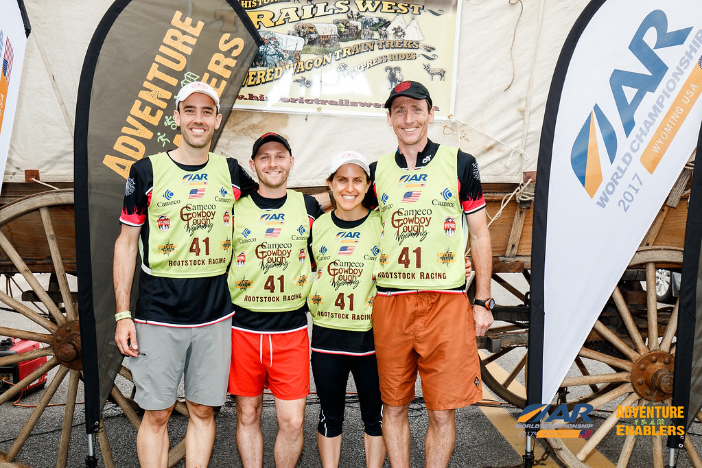
Clean, healthy, and happy. Ready to get that wagon rolling.
Ready to rock. Or duel. Especially Abby.
To the Line: Things took a turn back at the hotel. Denise had come up from Denver for the start of the race, and she had Phin in tow. Delighted to see him and wanting to relieve Denise for a night, we brought Phin into our room. Abby fell asleep rather quickly, but I was wired and unable to drift off. After some time, not only was I wide awake, but I was riveted by the sounds of a pacing dog. And then a vomiting dog.
After doing my best to clean up after him (thankfully this initial deposit was small), I turned to ear plugs and was finally able to knock off for a fitful three or four hours of sleep. Not the best way to start a six day race.
When Abby shook me awake, she revealed that we had swapped our sleep patterns, and now the room smelled rather nasty as Phin had been sick a fair bit more while my ear plugs blissfully blocked the sound of vomit, pacing, and diarrhea that had broken Abby’s sleep. We only had 30 minutes to get ourselves up and ready and to the bus.

Not too often that your dog comes to an expedition with you. So pleasant until they defecate all over your room…And it was meant to be: with the Italians from Freemind from the start!
Other than throwing on my clothes and grabbing my remaining gear, I spent the entire time running about, digging up cleaning supplies, sopping up the mess until the final second, and then running off to the bus where I collapsed with the stack of maps they handed out upon departure. That saying about getting to the starting line? Doesn’t usually include cleaning up after a sick dog. Thanks Phin.
The rest of the morning passed quickly. Six hours after boarding the bus in Casper, we jumped off at the Jackson Hole Mountain Resort, maps marked, bagged, and organized into groupings that we would deposit in gear bins as we would see them along the course.


It was a beautiful day, and we quickly found our old teammate and friend Ali Bronsdon who had agreed to come out to take photos of the team over the course of the race with the assistance of her brother Todd. The atmosphere was happy and upbeat with dozens of our AR friends from home and abroad all eager for the gun to go off following some words and wishes from the Governor of Wyoming. We staged our packs and walked to the line.
Stage 1-2 – Into Hell: Well, I have no doubt that my blown last month of training affected me for the start. Neither did the fact that the first two legs of the race were under hot sun at altitude with 1000 feet of elevation gain in the opening handful of miles help my cause. And I’m pretty sure it didn’t help that despite our discussion to take it easy, we pushed a faster pace than we needed to or maybe should have. Whatever the reason or excuse, I had a miserable start to the race and my mind was in a bad place when we finished the first two stages.

Into the mountains.
Those first two stages were really one relatively short and easy run: we first ran a loop on various trails under the ski lifts of the Mountain Resort, thankfully without our packs. Still, it was a relatively fast three miles with quite a bit of elevation gain and loss, and by the time we returned to our packs, my legs and lungs were gassed.
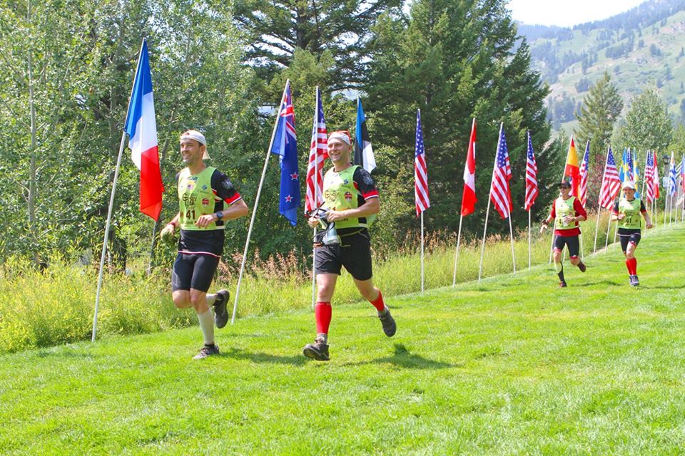
I’m not sure who this is. I was not happy. I was not smiling. Inside at least…
We then retrieved our packs and set off for a flat seven mile run on a sidewalk to the start of stage three where we would begin packrafting. We had specifically discussed running tennish-minute miles on this second stage, but we set off much faster than that, and I immediately fell behind. Before long, Andy was shouldering my pack, which helped a bit but didn’t fully relieve the strain on my body. Before long, my stomach felt off, and I was having to dig so much deeper than I would have expected for such a short stage. Considering that foot travel is usually my strength, I was a bit terrified that the race would turn disastrous for me in the day(s) ahead. What was wrong with me?!

Ah, that’s more like. See me crying behind those big glasses? See how effortlessly my teammates run?
Stage 3 – Riding the Snake: Had we gone into a big bike ride or a massive trek, I would be willing to bet that the first full day at least would have been a disaster, but thankfully Stage Three was a 20 mile packraft down the Snake River. I took a couple of minutes to gather myself in transition, finding a bathroom, eating and drinking, and helping Abby get one of our two packrafts ready. We hit the water ranked somewhere in the mid-high 30s, and we set off down the river.
The Snake turned out to be a savior for me, though I still noticed some bizarre and distressing signs: cramping in my arms and core, sensations I’ve never experienced, plagued me for the last hour of the paddle. Still, my legs were able to recover and relax, and we made good time thanks to our great Alpacka Gnu boats and our experience packrafting in New England, Alaska and around home. We passed a number of teams on our way downriver, and we also all agreed that the paddle was a blast as we floated through the various braided, glacial channels of the river. It wasn’t Alaska, but it was still a blast and a great way to ease into the real race to come.


After reaching the TA, we found we had moved up a few spots. I focused on more food, liquid and electrolytes, and thankfully we would be starting Stage Four as the sun began its final descent. I wasn’t quite right yet, but I knew that once we made it to dusk, I’d come alive. Heat has never been my friend, and the combination of heat, altitude, and the fast start had depleted me so much faster than I had expected. The Snake had allowed me to begin a restoration, and I was cautiously optimistic that the fall of night would finish the job.
Stage 4 – Death March: Being relatively local to the Adventure Enablers’ home-base, having competed in many of their shorter events, and having followed previous editions of Cowboy Tough, we knew this race wouldn’t be our cup of tea (at least not for Abby and me). Adventure Enablers races tend to privilege physical power, speed, and strength. If you want a race that has more challenging and interesting navigation and more off-trail opportunity, you’d be better off with Untamed New England.
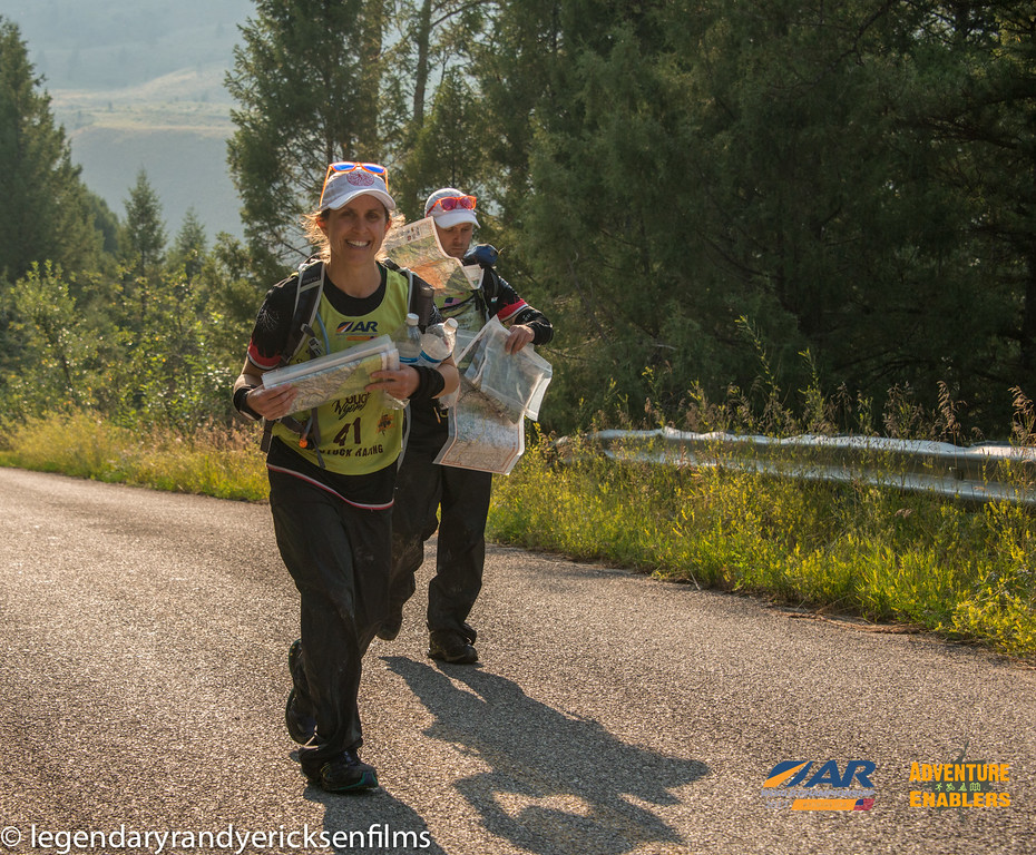
Photo courtesy of Randy Ericksen – Approaching TA and sorting maps. Promise: not as disorganized as it looks!
As we expected, the first long trek was quite straight forward. Yes, there were a few general route choices, but for the most part one followed a trail out of the TA and more or less stayed on trails the entire 40 miles to the next TA. And with no checkpoints on the stage, it felt rather monotonous for long stretches.
Thankfully the trail shot us up into the mountains immediately, and for the first two-three hours we had spectacular views of the sun setting over looming ranges of peaks and valleys in all directions. Once darkness fell, it proved to be a long night as we slogged along the ridge. We considered dropping off it once or twice, but the trail was relatively clean, so we continued along, playing leapfrog with a number of teams as the hours ticked away.


For me, I was at my strongest. Sure enough, as the air turned cool, I came alive and the pain and poor performance under the afternoon sun gave way to strength and energy. And it couldn’t have been at a better time. Andy and Mark had shouldered more of the load coming out of the TA, and both found themselves struggling significantly with the altitude. While they had come out a few days early, we had been out for a week or so longer, and both Abby and I felt noticeably stronger and better as we traversed the ridge at elevations largely above 9000 feet. So it was that Abby and I took added weight and I was also able to help tow for portions of the night. We couldn’t move as fast as we wanted to, but we worked well as a team and still maintained a solid pace through the night.
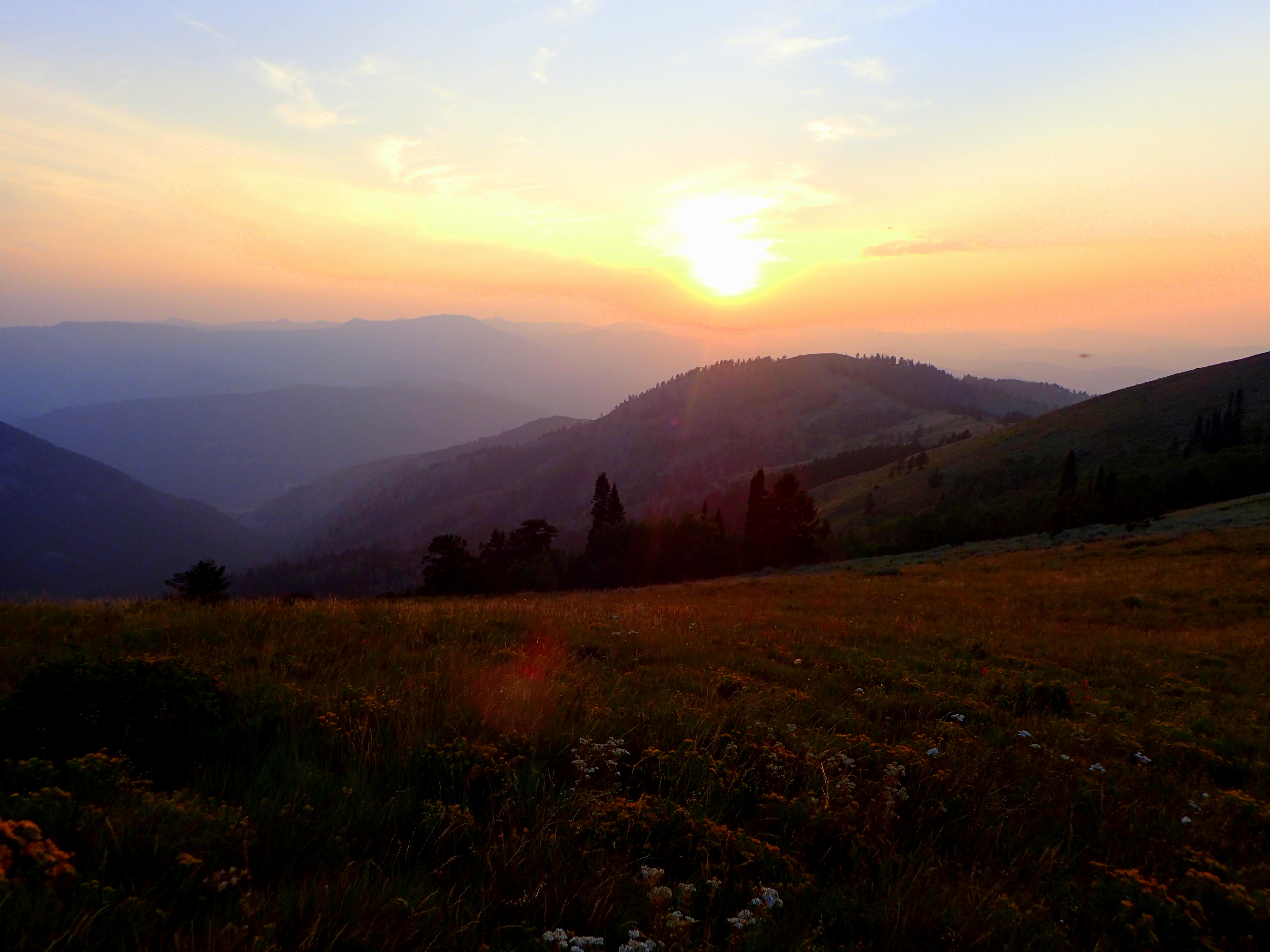
Wonderful views made up for the lack of navigation
As we neared dawn, we rolled the dice a bit and dropped off the ridge. We were out of water and had been for a while. Dropping down meant we would add some distance, but we hoped that finding water sooner and then having gentler terrain would be worth it. In retrospect, we probably should have just stayed along the ridge. Most of the teams we were with were still in TA when we finally did arrive at the end of the trek, but I suspect we lost an hour or so by dropping down.
Alas, the water was refreshing, and the trail in the valley was a fair bit kinder than that on the ridge. As we neared the end of the trek, the sun was beginning to climb, and we were excited to head out on bikes. A quick look at the map suggested 4-5 km to go, but the trail proved to be far longer than that, and what should have taken 30-40 minutes went on forever, a rather dispiriting end to a stage that had left us battered and bruised.
Stage 5 – A Nap and Move: We had stopped for ten minutes on the trail that morning, but we hadn’t slept yet. We built our bikes, transitioned and headed out on the first bike, an 80+ mile ride, largely on sealed roads that would culminate with some single track. We started off with a water stop and then motored out of the mountains. Before long, I felt myself dazed and heading toward sleep, a combination of simply being tired but also the effects of the afternoon heat and sun reasserting its grip on me.


20 or so miles into the ride, we stopped at a mapped store. I quickly assumed the position of the dead on the small shaded lawn outside the establishment and passed out. The others fussed, ate, dozed a bit, but generally waited patiently while I recharged somewhat.


When they woke me, it was 4:30 or so in the afternoon. I was able to stay awake thereafter, but the heat was still slowing me, and I was unable to do much other than draft along in the pace-line, and even then I was working harder than it seemed I should have to. At some point we met up with a man riding on the CDT, exploring and preparing for a possible run at the Ride the Divide next year. It was a welcome break, as was a brief encounter with James Thurlow at a CP in a town along the way.
As we neared the end of the road riding, we stopped for a few minutes so I could get more calories and electrolytes into me. It was a welcome and important respite, not quite on par with the Snake, but definitely useful in setting me up for the night. When we started again, we met up with Wedali, and we spent the next 45 minutes or so riding and chatting with them, a good distraction until sunset.
Soon thereafter, we turned off the pavement and onto a dirt road for a long moderate ascent into the foothills of the Continental Divide. We rode in with Wedali, finding a control along the way, hunkering down during a lightning storm that exploded a few hundred meters above us, and then losing each other as we neared the first single-track segment of the race. We rode ahead, and while we would be close throughout the race, we basically didn’t see them again until the race was over.

Photo courtesy of Chris Radcliffe – The sun sets, I come alive.
As it turned out, we had entered the first significant nav challenge of the race. On the map, a small trail network would bring us to CP 6. All looked rather straightforward. As it turned out, this wasn’t true at all, and after riding for some time, we were surrounded by wandering teams. We knew where we were (and realized that we too had missed the logical turn), and despite the fact that teams were largely heading back the way we had come, we elected to push on. We knew we had missed the intended trail, and rather than poking around for what was likely not as obvious as it seemed, we decided to move forward to use various other trails to cut up to our intended route.
While other teams clearly had looked into the general area we headed toward, most had abandoned the effort for whatever reason, but we slowly worked our way forward, finding trails that soon had us alone once again and moving in the right direction. It took a bit of time to lock-in on our location, and we ended up taking on a relatively short 20-30 minute bike-whack, but in the end we moved relatively efficiently to the control. I suspect there was an even better way to do it, but we made up hours (and for some, hours and hours) on a number of teams that were either ahead or just behind us.
We rolled into the TA in high spirits, knowing we had made up some time, and ready for our first real sleep of the race. We ate some race-provided cheeseburgers, piled into a tent, and shut our eyes for three hours. I didn’t get much sleep, and while the others slept more than I did, overall it wasn’t the best rest of our race careers. Still, it was a bit of dozy rest, and we felt more awake when we rose and filed out of TA in the pre-dawn light. Some of the teams we had been with at the end of the bike section had only recently come in.
Stage 6 – CDT Shenanigans: Next up: another 40 mile death march along the Continental Divide Trail. Thankfully, there were a few CPs on this trek to break it up mentally, and we knew the trail would not be as easy to follow as on the first trek. Still, the RDs had plotted the CDT on the map, and looking at it, anything other than following the orange line seemed foolish.
The trek started off well enough with an easy stroll up a road and access trail to a junction with the CDT and the first control. We left TA with Peak Life, and when we reached the first control we found we had caught up to the Italians from Freemind. From there we had a few hours of fun, following the orange blazed CDT. Sometimes it was quite easy to follow, but at other times it would disappear. At one point we tried to shortcut off the trail only to find our friends DART had done something similar. Things began to become a bit wonky, roads and trails not quite lining up, the CDT proving to be rather elusive for quite some time. But we managed to traverse the terrain well enough and sometime in the late morning we converged with DART and the Italians on the orange-blazed track once again.
For a while, we traveled together, and then we hit a crux point of the trek, one that seemed to really throw everyone for a loop. On the map, the orange-marked CDT shot off a road. We stopped at the right place and watched as Peak Life (missing for several hours at this point but now reappeared) headed off in what turned out to be the “right direction”. DART had stopped somewhere behind us, and Freemind was shortly behind.
Unconvinced we decided to stay on the road, and sure enough we soon saw more orange blazes. Ah hah! we cried, and we picked up our pace hoping to prevent Peak Life from seeing they had turned off too early. Freemind followed for a bit, but they soon peeled off, stopping to examine the maps further. For another 10-15 minutes we followed orange blazes, and then they vanished. By this point we knew we had gone too far, and we stopped to analyze our options.
Ultimately, Mark suggested the blazes we had followed were old ones, no longer valid thanks to the periodic reroutes that are famous on the CDT, a logical supposition. We discussed staying on the roads, longer but perhaps easier. But ultimately we decided to go back. We hadn’t gone that far past the split, and the trail would be much faster. So we turned back.
Long story short: the “trail” as mapped by the RDs was not a trail any longer, if it ever was. I know a lot of teams lost hours in what came next: a solid bushwhack along a mountainside, several kilometers in length, which passed through a forest of deadfall and across several wet, swampy reentrants. The scale was small, so there were plenty of potentially distracting spurs, reentrants and knolls to slow folks down. Once we got ourselves oriented and accepting that there was likely no defined trail to actually use, we set off at an efficient pace, and we made good time through the woods.
It turned out to be a delightful section as we were off trail for the only real stretch of the race, and the woods and spurs of the mountains were beautiful, if dusty and hot. At one point, we found the bed of an old trail, indeed the one that had been mapped. It was littered and crisscrossed with dead trees, but for a kilometer or so, we were able to make out and follow the tunnel through the trees before we lost it and gave up on finding it again.
Eventually, we reached more defined trails, linking up once more with DART before losing them again on the way to the next checkpoint. Once we had found that point, we descended to a campground where we parked ourselves at a picnic table to feast and mentally gather ourselves for the second half of the trek.
As it would turn out, the fun of route-finding ended for the day. The lion’s share of the rest of the trek was along the ACTUAL CDT, a trail we had not seen until we hit the campground. The trail was easy to follow, blazed in an entirely different manner than what we had seen, and mindless. For an hour or so, we had the luxurious company of a couple who were thru-hiking the trail, and this was a welcome distraction for us as we weathered fatigue, heat and sore feet by conversing with them about our various parallel adventures. DART had fallen behind somewhere, and at some point, we let Freemind sneak ahead of us.

After night had fallen, we hit a control high up on the Continental Divide; our hiking friends had pitched their camp somewhere near the pass, and the Italians were curled up in space blankets nearby. We descended the backside of the range, navigating down a trail into a network of infuriating and poorly mapped trails and roads. Mark and Andy took lead on getting us through this series of trails, and despite the confusion on the map and on the ground, they kept us moving in the right direction. We finally reached the final CP, a road, and the welcome smile and headlamp of Ali who came out to greet us.

Ready for the hay barn at the TA
From there, we had a final hour or so trekking to the TA, located in the Ghost Town at South Pass City. We checked in, Mark and Andy took the requisite shot of Wyoming bourbon, and we curled up with a few other snoring teams in the warm bales of the small hay barn nestled in abandoned settlement. I had my wires crossed when packing so was without my sleeping bag, but I was able to get warm curled up under a few bales of hay. It was without question one of the best nights of sleep I’ve had in an expedition race, and four hours later we were up with the sun and heading out on the bike, clearly in better shape than most of the other teams in the middle of the pack and creeping our way up the rankings.

Nightcap
Stage 7 – All Cylinders: For, I believe, the only time in the entire race, all four members of Rootstock Racing felt right and good. The morning was cool, we were rested and over the altitude, and we were inspired by the fact that we had been moving up and had a great sleep under our belts whereas some fellow teams were clearly not as rested since they had slept out on the trek. We rode out of TA ten minutes or so behind DART who had come into TA while we slept, and we quickly passed them.


The first half of this bike ride was all on roads, and we motored along in fine spirits. After the first of three big climbs, we descended on dirt tracks into a deep valley, riding alongside a beautiful, red-rock canyon, and plummeting down to a river crossing and a control. There we found Peak Life. Like DART and the Italians, they too had slept out in the mountains, and they looked worn. We passed them by, and we wouldn’t see them again for the remainder of the race.
After the river crossings, we had a long steep climb. We had to push a bit here and there, but we rode almost the whole way to the next pass before another roaring descent. One more climb, the sun now beating down and Mark’s tire flatting, costing us 20 or so minutes. But we managed well, and before we knew it we were cresting into a final mountain pass, punching a CP and then zipping along for an hour of fun, rolling, single-track. Sadly, the trail was littered with dead mice, remnants of teams’ passage in the darkness the night before, and at one turn in the trail, we skipped around a cow leg, possibly the work of a mountain lion.
Dead animals aside, the hour long roller coaster ride down the mountain to Sinks Canyon was fantastic, and we were in great spirits as we ripped down the paved road on the valley floor to the TA, the Middle Popo Agie River cascading and crashing beside us. My mouth and eyes were open wide, grinning and beaming as we whipped along; we had heard that champion Seagate took six hours to knock out this ride. We’d roll in around 6 hours and 20 minutes, including Mark’s 20 or so minute bike mechanical.
We were blazing, and Sinks was absolutely stunning. The course might not play to our collective strengths, and while we were pleasantly surprised by the nav moments we had experienced, it still wasn’t anything to get all that excited about from a navigational standpoint. But what a beautiful journey we were on through the state of Wyoming. And now we were in one of the actual highlights of the course. We were ready to play.
Stage 8 – Over Hill and under Stone: First up was a quick rappel. We were allowed to go up sans packs, so we grabbed a bit of food and our harnesses, and we climbed up a flagged trail for a 200 foot or so rappel off a cliff opposite the TA. Ali kept us company, snapping pictures and asking questions as we worked our way up to the top. We joked a bit with the volunteers who remarked we seemed in far better spirits and condition than most, and we made quick work of the rappel. I descended last and took a brief moment to stop halfway down the face to take it all in. I should have taken longer.


Down at the bottom, we set off for the next challenge in the Sinks: a short caving section. By this point DART had rolled into TA. As we worked our way through the caves and back to TA, the Italians would appear as would another strong American team, Quest AR. For now, however, we were enjoying the canyon, and we made our way to the cave.


The entrance to the cave was flagged and barely visible, a small squeeze down into a boulder field on a side-hill. Once inside, we descended through an old metal grate, and then we had to follow a lightly flagged path through a series of tunnels, drops and squeezes. At times, the passages were tight, sometimes open enough to stand. The walls were beautiful, rippling whitish-grey rock all around, polished and chiseled from the rise and fall of the river’s waters, and as we descended deeper into the labyrinth we could hear the faint sound of the rushing Popo Agie.
Eventually, we reached the checkpoint, and before we turned back we poked our heads into a hole in the ground down a side passage. Below us, the river was rushing down an underground passage, the noise of the water a steady thrum. Smiling, we talked to our friend Brian Leitten and another media persona from Sports Illustrated before heading back to the surface.


Back out in the warm air, we made our way back to our bikes with a brief pit stop at one of the amazing natural features of Sinks: a pool where the Popo Agie emerges from its underground journey, and one which was full of dozens, perhaps hundreds, of enormous trout, all swaying in the current.
It was a spectacular two hours: mountain biking in, rappelling off the canyon’s cliffs, and crawling beneath its rocky floor. Ahead of us loomed the monstrous 165 mile bike. I think we all had been either dreading it or perhaps to some degree ignoring it, but now it was time to begin the massive ride east. We TAed quickly and headed out for Lander, agreeing we would take a bit of time to stop in town for some real food while we got the rest of our gear and food in order for the next 24 hours. Oh, what a day it would be.
Stage 9 – The Nothingness: After some pizza, ice-water and a bit of quiet but active rest in Lander, we set off on our bikes for the beast. The first bit was relatively quick and on pavement, though we fought a headwind for the first hour or so. Eventually, we turned off the tarmac for a big loop out into the hinterlands. The next few hours were nice enough as we rode by remote ranches and further picturesque, Wyoming scenery, but as dusk fell, we found that enjoyment of the scenery had given way to the reality that we had a very long and relatively desolate ride to complete. Spots on the road offered up dispiriting and hidden layers of semi-dried mud, and the dramatic landscapes of the day had evolved into more featureless, endless, sweeping terrain.
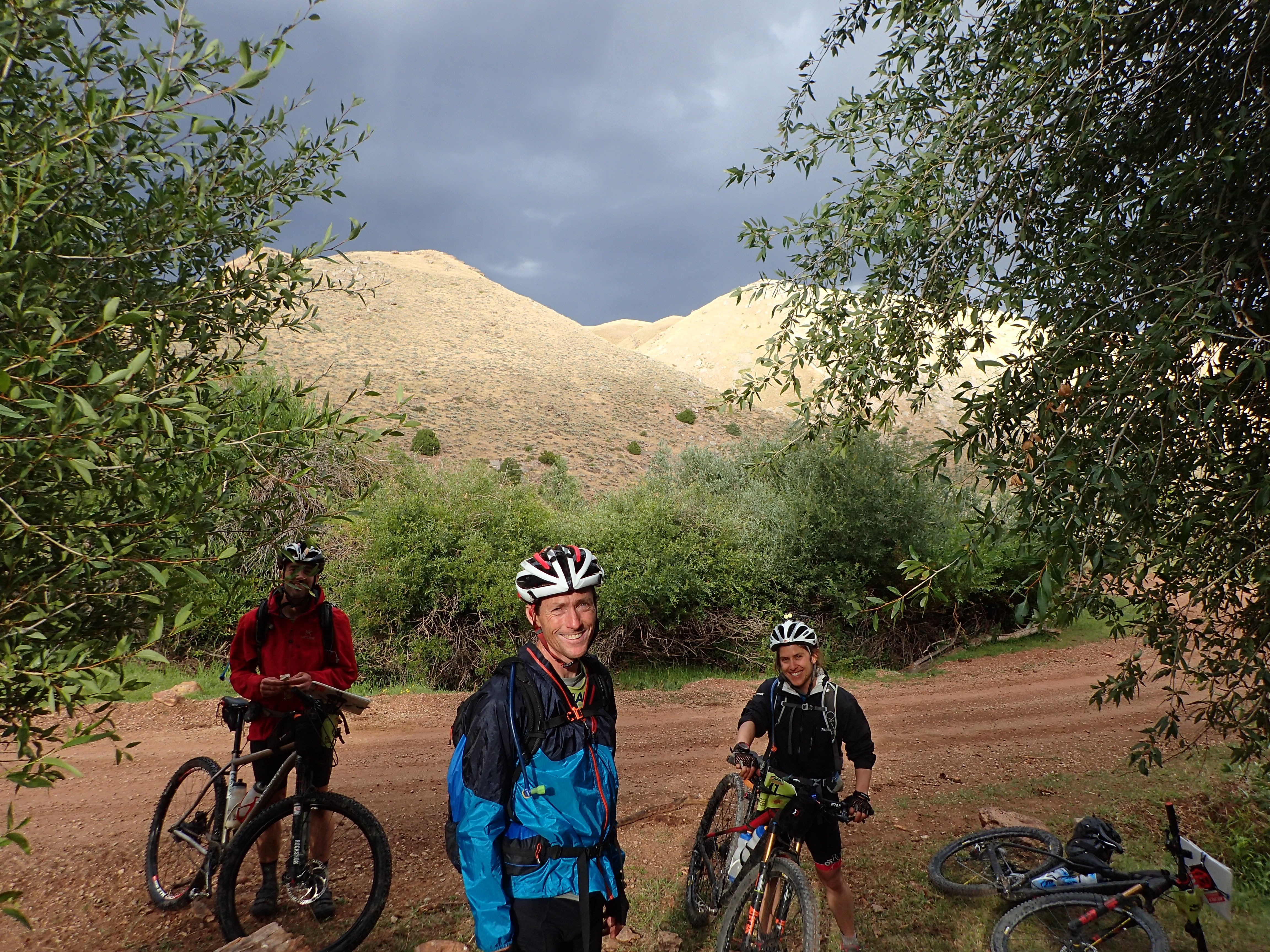
Ah, we were happy once…
Night fell, and we found ourselves, surprisingly, alongside the strong Kiwi team, Sneaky Weasel Gang. We jostled for a while before they seemed to escape, though somewhere along the way we would pass them again for good. Hours after dark, we found ourselves once more with our old friends DART at a rest-stop, again out on the tarmac. We took a quick ten minute nap in the warm bathroom before setting off into the night again, saying goodbye to DART as they huddled into the bathroom behind us.
And so began the nightmare of what I came to call “The Nothingness”. For hours, we biked into the night, up a seemingly never-ending but gentle incline, into a steady though lenient headwind. The road and terrain around it were void of any features save for the occasional jackrabbit and the rare flash of headlamps on the blackened horizon. Sleepiness settled in, our pace was dismal, and morale was flagging.
As we punched CP 24, it was clear we had to change the narrative. We needed sleep and our mental faculties were beginning to fray. A sign pointed down the road to some sort of old livestock station. We had already identified that stretch of road as potential sleeping ground, and the sign offered a glimmer of hopeful confirmation that maybe, just maybe, we would find a bit of shelter in what appeared to be a complete wasteland. We biked on.
And sure enough, emerging out of the depths of night, a structure of some sort caught our headlamps, our drooping eyes widening ever so slightly. We turned off the main road and found ourselves beside an old, sprawling barn structure. We gingerly rolled out of our saddles and walked inside, finding the barn a bit of a ruin with dead vultures and other animals littering the stalls. Dozens of old glass bottles of animal antibiotics littered the corners of the barn along with a fair bit of refuse and other unidentified shapes and messes huddled in the shadows. We carried on, hoping for something a bit better than what we were seeing.
I walked outside again and headed for the two small trailers we had seen. Poking my head inside I found animal excrement and garbage. I continued on.
And then, I found myself standing before what we came to call a modernized covered wagon. From a distance it appeared to be in the same mold as those rolling carriages that crept west centuries before behind oxen, cattle, and settlers, hell-bent on surviving the long journey across the Great Plains. Up close, it proved to be a sealed up trailer in disguise. I opened the door and found a bunk, complete with a thick mattress, and another foam pad on the floor. The trailer was complete with a small wood-burning stove, and while it might be tight, it would suffice. We piled in and quickly passed out for what may be the best sleep I have ever had in an expedition race (I know, right on the heels of another sleep I waxed on about…).
After waking once, maybe twice, and electing to go back to sleep, we rose just before dawn. Four hours of warm, comfortable, sheltered sleep had done us good, and we quickly dragged ourselves out into the surprisingly warm night air. We set off on our bikes, seeing a couple of teams within a few hundred meters. Sure that some teams had passed us while we slept, we knew we would have a good race before us, most likely with our friends from DART but also sure that teams like Quest, Wedali, and others that we had seen over the last two days would be either ahead of us or breathing down our necks.
While we rode better, it still felt like something was holding us back. I personally just didn’t seem to have much power as we continued to ride through the vast open desolation. Periodic Pronghorn sightings momentarily distracted me from the massive bike, but the end seemed too far away to grasp, even after 16 or so hours of riding (and sleeping).
After a break at CP 25, a control manned by two kind and generous medics from NOLS, we set off once more, the sun creeping higher and higher, the endless washboard ruts continuing to jar our minds and bodies alike. DART and Quest, we determined, had indeed passed us overnight and were on their way toward the last segment of the bike leg. We rode on, hoping to catch a glimpse of them but unable to do so.
Finally, sometime in the mid-late morning, we emerged in a town, checked into another manned CP, and continued on to the small ghost settlement of Ferris. And it was somewhere around here that I began to bottom out.
It began at the manned CP on the tarmac road. The volunteers, knowing teams were in low spirits and exhausted, took the approach of trying to cheer us up. While I appreciated the effort intellectually, emotionally, I was ready to unload on them. All I wanted to do in that moment was embrace how miserable I was feeling, how hot it was getting, how long the ride had been, how uncomfortable the permanently embedded pebbles and grit in my ass really was, and how it was nowhere near over. I was done with the biking; I didn’t want smiles and good cheer.
And then we rode into a headwind that was perhaps the stiffest of the ride. Yes, we were on pavement for a bit, but it was painfully slow going, and by the time we turned out of the wind and onto the dirt road to Ferris, I was wiped physically.
And then we entered the oven.
And then I was done.
I think the rest of the team was feeling the heat too, but we rolled to a stop for a ten minute shade break so I wouldn’t roll up with a tumbleweed and call it quits. There was no shade to speak of, but we did manage to find some in the shadows of the small chemical plant partway to Ferris. And so we sat in the cooler shade of the plant, ignoring the signs warning of noxious gasses and fumes, trusting that the stiff wind and limited exposure would be enough safeguard. It was remarkable how much of a difference the shade made, and I felt restored enough to ride on ten or so minutes later.
We set off for the final stretch to Ferris. We took a small detour when I decided in my half-baked frustration to lead us on a “short cut” trail I was sure would cut-off a switchback in the road. Fifteen minutes of bushwhacking later, we pushed our bikes back onto the road, my teammates patient enough with me, Mark’s punctured tired not so much. On we rode.


Finally, we rolled into the final checkpoint of the leg in the ramshackle buildings of Ferris. Photographers and friends Legendary Randy and Chris Radcliffe were waiting, and we took a short break there to fix Mark’s tire, drink, and eat. The final ride in had become more interesting with great, rolling, white sand dunes all around, framed by mountains on three sides, and it was about then that I began to realize that we had been in a landscape eerily reminiscent of a Mad Max film: desolate beauty with unsettling, rough, toxic, industrial remnants of civilization. My spirits and energy, oddly enough, were returning.


From there, we took off. We made our way through a network of sandy roads and side trails, and the riding here proved to be the absolute best of the segment. We rolled and soared along toward the mountains and a canyon that would direct us to the TA. We made good time, spirits as high as they had been in 24 hours, and soon we were on the final long descent to the TA, marveling at East Wind as they came blowing by at one point an hour or so from transition. Once in TA we found DART and Quest both there in addition to the Japanese, and we hunkered down to pack up our bikes and load up for what was technically two packrafting legs, but what was really one long one that we expected would take the better part of a day.
Stages 10-11 – Toward Casper: As we rode into that penultimate TA, we all remarked how it felt like we had broken a barrier. We had knocked off two foot-mashing and mentally exhausting treks. We had quickly and easily conquered the 35 mile bike to Sinks Canyon that boasted 6000 feet of elevation and had people planning to spend a day hike-a-biking. We had outlasted the massive ride through the great Nothingness of Wyoming. And we had weathered the sometimes harsh climate and environment of Wyoming’s vast, windy, arid expanses. Admittedly, we had and would continue to luck out when it came to our timing with the explosive weather that other teams had to suffer through more so than we, but still.
Now, the end was in sight, and the rest seemed metaphorically downhill, if not literally so.
Of course, this meant that a nasty surprise was in store, beginning with the rapid onset of a Wyoming storm. Thankfully we were on our way to the water, unlike several teams who were sitting in their small floating bathtubs out on the reservoirs and in the canyons of the packraft stage when the storm broke. We were on our way down to the Pathfinder reservoir, so we hunkered down under our packrafts for twenty minutes or so before nervously continuing on, lightning flashing and striking in the near distance.
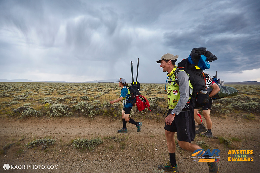
The calm before the storm
As we descended, we saw Quest and DART not far off. For a while we paralleled each other, all of us heading toward the first checkpoint of the stage. They were off-trailing, while we were on the correct trail, which theoretically would take us straight to the control. For the record, I have checked this on the tracking, and indeed, I had us traveling the right trail from the get-go, but alas, distraction, altered water levels and who knows what else would derail our steady progress and efforts to pass Quest and DART for the first time in a day or so.
As we traveled the trail, we noticed something odd: on the map, the control was clearly plotted along the trail, but it also was within a couple hundred meters of the reservoir’s shoreline (on two sides moreover). In addition, the control had an odd clue, “West side of Pathfinder”. Did this mean it was on the water? Or was it on the trail as plotted?
We asked these questions over and over again for the next several hours. One thing we knew early on: the trail we were on was clearly NOT heading toward the water as it did on the map; we could see this as the path traversed high ridges with clear views of the reservoir below. DART and Quest, still off-trail it seemed, seemed to be thinking something similar, and we came across another trail that headed off in a line toward them and the shore. Perfect, we thought.
We headed off the main track, and soon we were in the marshy low-land that lined up perfectly with where the checkpoint ought to have been. Without replaying the entire two or three hours of frustration, we spent the rest of the afternoon and evening light searching fruitlessly for the control. All three teams. Everyone had good, logical ideas explaining why we weren’t finding it and where it ought to be. Finally, around dusk, we broke off from DART and Quest and headed back up onto the spurs to the west, convinced we had sorted it out.
Unfortunately, we hadn’t. But as darkness fell, we ran into NV Journey who had come in a couple hours behind us but who similarly seemed confused as to where to look. By this point, we determined that had we simply stayed on the original east-west trail we had been on at the beginning of this fiasco, we would have located the control and been across the reservoir by now. We settled on heading back the way, blaming altered water levels for the mix-up.
Fortunately, we were right to do so. In the process of crossing paths with NV Journey, I shared this thought process and our lost hours with them, and they followed behind. They very well may have come to the same conclusion at the same time, but considering the fact that they expressed confusion themselves, I was a bit disappointed to sort it all out with them alongside for it.
By this point, DART and Quest had figured it out themselves and they had disappeared, getting a jump on us for the next segment of the leg. We quietly inflated our now gritty packrafts, and we set off in pursuit. Normally, I’d struggle to stay awake at this point: we had a 2.5 hour paddle in the dark on night five of the race, but I was locked in and engaged. I knew the others were tired, but I also knew that if we nailed this relatively featureless paddle in the dark, we might make up some of the lost time on those ahead of us.
For the next two and half hours, we rafted in the dark, primarily lit up with glowsticks as a thick cloud cover blocked the moon and stars. Such paddling is some of my very favorite, and it always reminds me of my first time packrafting at night in Untamed New England, 2012. Every half hour or so, I’d stop us and check the shore, measuring distance through time. If we weren’t careful, we would drift and we could easily miss the proper cove where the dam and next control were located. As we progressed, we could see other teams scattered about, and as we narrowed in on the correct location, I guessed that we had made up the lost time.
Sure enough, we had. Fatigued and a bit mentally strained, we pulled out at the Pathfinder dam, and we sorted out what to do. The next segment was the rather mysterious Fremont Canyon. We knew there was whitewater. We knew there were obstacles. It was dark. We were collectively tired, and not all in agreement as to our comfort levels taking the thing on in the dark. Furthermore, Olof showed up having finished the race hours before in third place (awesome job AMK!!), and he suggested the canyon was a challenge even in the daylight. I THINK we also learned that Team Canada had torn TWO Gnus in there, also during the light.


BUT, we had passed DART and Quest, and we wanted to keep the pressure on. Ryan from DART suggested they were going to rest until daylight, but most of us felt that the canyon was being blown out of proportion a bit. It was a guess, but an educated one. We decided to continue.
Getting down to the water below the Pathfinder Dam was a bit of a tedious exercise, probably made slower by the fact that we were tired with some of the lowest team energy of the race due to the uncertainty of the canyon in the dark. As we finally put in, we saw Quest come down to the water, confirmation that we had moved back ahead of our cohort of teams.
The Fremont started off benignly enough, the biggest obstacle being shallow water. We splashed our way down the river, our minds steeling themselves when we finally entered the canyon proper. Objectively speaking, the next hour or so was beautiful and unique as we worked our way down the boulder-littered canyon. While I know many teams tried portaging the majority of it, we took the opposite approach, paddling as much as we could. We did elect to skip one or two spots, more because we couldn’t see anything. We also paddled some of the biggest rapids, including a solo run of the one class 3 rapid; Mark and I dropped Andy and Abby off, but we both wanted to run the narrow, twisting shoot of water complete with a drop of several feet. It was a blast.


But we also had some hairy and straining moments. Any time we did portage, we found the rocks and boulders to be slick, slippery and treacherous. Abby fell once or twice, one time taking a swim. Already tired, it was mentally taxing to say the least.
The biggest test, however, came during one bigger-rapid run in which we had to navigate a series of fast turns. Andy and Mark led, making it through safely, but unfortunately, Abby and I got hung up on a boulder and turned over. We were separated, me floating down and around the boulder, Abby getting caught with the one loose pack we had and the boat. The water was frigid, not Alaska, glacial frigid, but breath-taking nonetheless. I knew as I floated down the river, forcing myself to remain calm and taking in my surroundings, that if I was as cold and shocked as I felt, it must be tens of times worse for Abby. And I couldn’t see her yet.
When I found an eddy and shallow spot to settle, I turned back and saw her on the boulder.
“Let go of the boat!” I yelled. Nothing. She seemed frozen in place, or else she misheard me ( learned afterward it was the latter).
“Let go of the boat!” I yelled again. “You’re going to have to swim!”
She finally heard or registered what I was saying and let the boat go. I was able to catch the raft and stabilize it while she then swam down to me, Mark and Andy watching the entire thing from further down-canyon. We were able to get ourselves back in the raft and continue on, cold, but intact. From above us we could see Quest and perhaps one other team scouting the canyon on foot. This would be the last time we’d see Quest, and with the exception of one more encounter with NV Journey, the last time we would see any of the teams we had raced alongside for most of the race.
From there, we paddled downriver, rain spattering us, the sky beginning to lighten. Terrified we would miss the take-out, we slowed to make sure we didn’t, and thankfully we managed to find it. We trekked up and out of the canyon, warmed ourselves up, checked in with a medic who had been watching our progress, and then we continued on with what was at times a rather animated trek and at other times a stumbling, sleeping march of the dead. As the morning sun began to truly burn off the cold from the canyon, we found ourselves inflating our boats one last time for another reservoir crossing, this time on the much smaller Alcova.


At this point, NV Journey made a brief appearance, giving us a momentary jolt that banished thoughts of a quick sleep. We woke up, packed up and set off across the Alcova, knocking off a quick CP, effectively portaging a mandatory stretch around the Alcova dam and putting back in on the North Platte River. We peeked behind, but we saw no sign of NV Journey, and according to the splits, we put time on them and other teams on every segment of the race after we found that first checkpoint back on Pathfinder. Now it was on us to stay awake and move.


Off we went, paddling down the North Platte. It was a bit of a brutal four hours. At some point I stopped paying close attention to the map, so we didn’t know how far we had gone or how much farther we had to go. At one point, we gave into sleep, closing our eyes and drifting downriver, waking here and there as our boats would bump into the shore before spiraling back into the river’s current. We half-expected that DART, Quest, Wedali, or some other team would come blazing by, but no one came.
I struggled for much of the last hour or so of the paddle, drifting in and out of sleep but somehow managing to keep some power in my strokes. When we finally did reach the TA, it was a joyous relief, and our TA was blazing fast. Several short course teams were there and seemed to have been for a bit of time when we came out of the river. While we didn’t pass any of them in TA, we were hot on their heels when we left, and no other teams were in sight behind us.


Stage 12 – The Mountain: The final ride to the finish was rather straight forward. Ride up Casper Mountain. Find the control. Ride down the other side into town. Punch one final checkpoint, and head to the finish line. It was a long ride up, but we rode relatively well until the very end when I once again began to struggle to stay awake. Thankfully we didn’t need to stop, and just as we hit pavement it began to rain.
As I noted, we were fortunate with weather; a number of teams ahead of us, and several not far behind were caught on the ascent to Casper Mountain in steady rain that turned the roads into an unspeakably thick and I believe bike-damaging mud. Some teams elected to turn back, riding all the way down and around the mountain, only to ascend again from the other side on pavement. Some pushed their bikes for hours. One team decided, wisely I believe, to strap their bikes to their packs rather than accumulate more mud on their trusty steeds while pushing. We managed to ride right up.

Caper Bound!
The final CP was rather vague, and I know several teams lost some time searching for it. We were able to figure it out efficiently and we coasted down the mountain by ourselves, staying just ahead of the rain and true cold. Once in Casper, we quickly navigated to the final control before heading into the finish, the only hiccup coming when Mark tried to convince me we had missed a turn when we hadn’t.


Finished: And so it was, nearly 126 hours after starting with 10 hours and change in sleep, Rootstock Racing finished ARWC 2017 in 22nd place. Before the race we had said that anywhere in the 25-30 range would be a respectable and good finish in this deep field of teams, especially considering this race would not play well to our strengths. Anything above that would be gravy.


While I personally would have loved more nav and off-trail travel, there is no doubt that the course exceeded my expectations. It was an amazing journey across Wyoming, we took in some spectacular terrain and sights, and there was enough problem solving when it came to routes and maps that the course didn’t get nearly as monotonous as it could have. Sinks, the Snake, and the final packrafting adventure were exceptional legs in my mind, and while the trekking (normally my favorite part of AR) was more like slogging, the land we traversed was magical.
Throughout the event we crossed paths with terrific teams. Highlights and special shout outs to: Wedali who cruised along with us and lifted our spirits on the second day. Freemind Italy who we found ourselves alongside for much of the first half of the race and who we trekked with here and there on the elusive CDT. And DART Nuun. From the Snake River until Fremont Canyon, we crossed paths, shared stories, and felt each other’s fatigue and pain on countless occasions. All the way until finish, we expected to see them come whizzing by, and while they didn’t this time, it was wonderful sharing so much of the course with them.
Special, special thanks to Ali and Todd. Seeing smiling, familiar faces was always SUCH a huge lift. Ali took some amazing photos of the team, but the camaraderie was invaluable. Whether it was the middle of the night or after a good sleep, their presence always made us smile and was a welcome distraction from the endless hours and miles of plodding or spinning. Thank you guys for coming out to cheer us on and capture us at our dirty best!
Finally, this was one of the best XPD experiences I have had, and this is largely due to the great team we had. While Abby and I had only raced with Andy Bacon once, it was clear from before the race started that teammates don’t get better than Andy. Together with Mark, we were a well-balanced unit. It would have been nice to get everyone going physically more than the one time we did, but we more than made up for it with exceptional teamwork and experience. Thank you Andy, Abby, and Mark for helping me out in the warm days and helping me make it until dark day in and day out, and thanks for a tremendous week in Wyoming.

Photo courtesy of Kaori – Time for a nap…Thanks for “reading”
Summer Heat
Sea kayaking and adventure racing conjure images of boiling waves stoked by unpredictable tempests, airborne racers thrown from the safety of warm cockpits into crashing surf, adjusted courses and canceled sections to the sorrow of many excited RDs. Rarely do such paddles work out the way they were dreamed of, the conditions never seeming to reflect the glorious days of scouting that are captured in enticing color photography and then used to lure adventurers near and far to sign up for and travel to a race.
As we drove up to the Maine Summer Adventure Race, we had enough information to suggest we would likely start on the water with the promised sea kayak, but the weather forecast was spotty at best. We wondered if our epic journey north from Philadelphia would pay us back with a shortened course lasting a mere five or six hours rather than the coastal journey along Maine’s stunning coast as promised by our friends Cliff and Kate from Strong Machine Adventure Racing, still new kids on the block when it comes to race directing but ones we trust to put on a high-quality event.
As the pre-race morning unfolded, questions continued: would the weather (forecast slightly improved) hold? Would the mist clear? Would the hour and a half delay thanks to a lost bus ruin the current’s push from the well planned convergence of race and high tide?
Thankfully, the AR gods conspired to reward Kate and Cliff’s hard work, and while the lighting may not have been picture-perfect, nor the tide as strong in our favor as they had hoped, the race started with a glorious paddle through the islands and channels outside of Boothbay Harbor. Abby, Tamela, and I navigated cleanly along the coast, picking off checkpoints, holding close with the chase pack (all were chasing Untamed New England who led from the gun), and spying ospreys as they flew overhead and landed in their nests perched on lofty posts and stands along the coast. We even had the pleasure of a brief encounter with a curious seal as we approached the first control. The journey had been worth it.
Competitively-speaking, we went into the race expecting to be left behind early by Untamed New England. A strong team of seasoned AR veterans and national champions, they had a notable advantage right off the bat as they were outfitted in two tandem kayaks. Our line-up of three was more a finesse one with me, Abby, and Tamela together weighing less than half of Jeff Woods, and we knew we would potentially lose the race on the paddle, figuring they might put half an hour or so on us. Biking too would be a challenge; during last year’s race, the Untamed team (a similar team to this year’s squad) opened up 45 minutes or so on us. We had our work cut out for us.
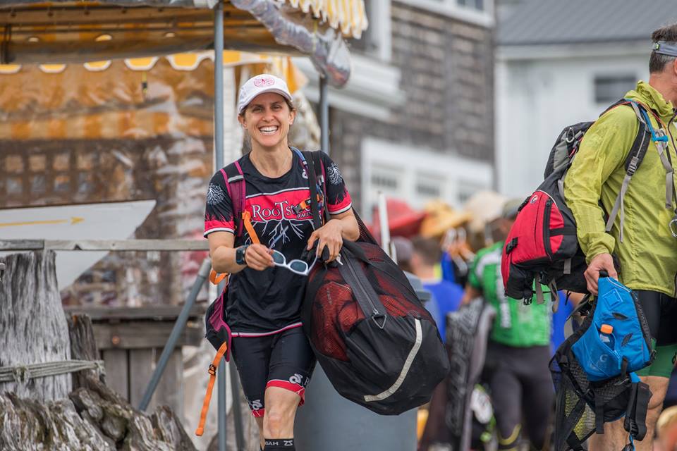
Abby, rearing and ready to go!
Additionally, there were several other good coed teams and a few all male teams we were aware of that would challenge for overall placing. Ultimately, after much back and forth discussion, Abby and I paddled our tandem, and we tethered Tamela in a single kayak to our boat. For the first 15 minutes, we struggled. As expected, Untamed quickly opened up a gap on the field, and a number of other teams were pulling ahead of us too. I finally decided to use the rudder, which, while less efficient, allowed me to compensate for some of the drag and push/pull of towing another boat. Once we fell into a new rhythm with the rudder, we settled in and found ourselves holding our own, more or less.
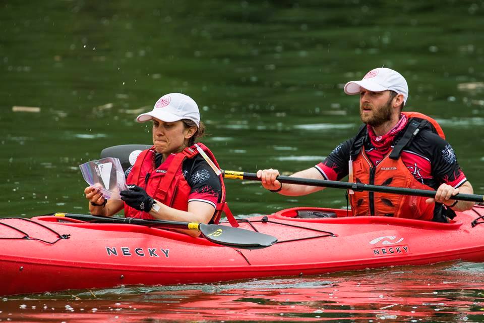
No one has ever worked harder to open a Ziploc bag…or protect a passport,
We worked hard throughout the section, and toward the end of the leg there was an interesting mini-foot section: two points on high-points, separated by a narrow 10 meter wide channel of water. We arrived to see Untamed waiting for their runner, and we quietly cheered that they hadn’t opened more of a lead. Another full course team, the NH Trail Vets had arrived a few minutes before us, and a handful of short course teams were already there. Abby and Tamela dropped me off to minimize the time in the water, and I set off for the first point, arriving there before the Trail Vets who had paddled into the channel further than we had. I nabbed the point, dropped quickly and elected to swim the cold channel of water. There was an unmapped trail network on these peninsulas, linked by a footbridge across the water, but I figured straight line would be quicker.
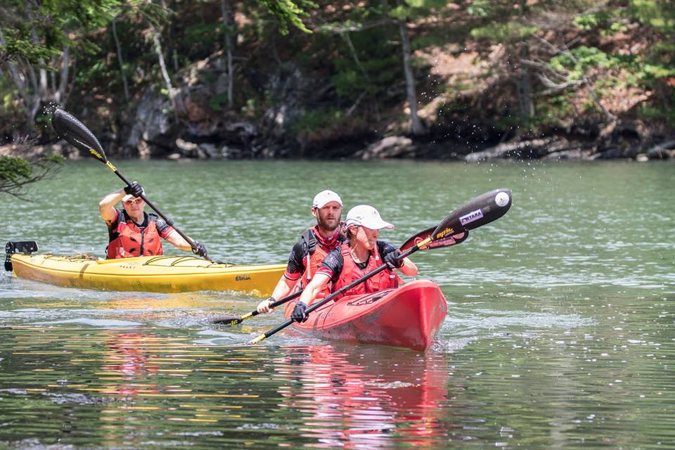
Rolling into the micro-foot section
I hit the water before Nick from the Trail Vets and was climbing out the other side when he splashed in behind me. I pushed up the hill and didn’t see him again. When I returned to the boat (Tamela and Abby had dropped me and then paddled across to the other peninsula), Abby reported Untamed had left 15 minutes ahead of us, maybe less; we seemed to have made up a few minutes, and we set off for the final few kilometers of paddling before the TA.
Next up was a long, linear trek with a number of optional and mandatory points scattered on and about a foot trail that essentially connected TAs. We quickly diverged off the mapped trail, finding our own way along a more linear course to the second CP. At the third control, GOALS (a two person male team for this race) caught us, charging up behind. We let them punch first and watched as they went off in a direction that would allow them to travel by trails for the next control, but we elected for a more linear off-trail route.
For the next hour or so, we were on our own, and as we attacked the final two checkpoints, we decided to roll the dice a bit. We had planned to hit these two CPs in a loop that would be longer but which would cut out a large open marsh crossing. At the last minute, we decided to gamble and we reversed it, once again traveling in a more linear course that would require us to cross the marsh. As we made our way to the second control on the edge of the marsh, we passed Untamed coming from the originally intended direction. And as we left the second control, GOALS appeared, also from our originally intended route.
We knew we had made up some time, and now it would come down to the marsh. While we have traveled through faster marshes than this one, we have also found ourselves in much worse, and we made decent time, hitting the trail on the other side and taking off for a couple of kilometers more to the next TA. We wondered where Untamed and GOALS were, knowing that GOALS would probably be behind us but unsure about Untamed. As it turned out, we rolled into the second TA several minutes ahead of anyone else, and we collected an orienteering map and set off for a loop of six or so points.
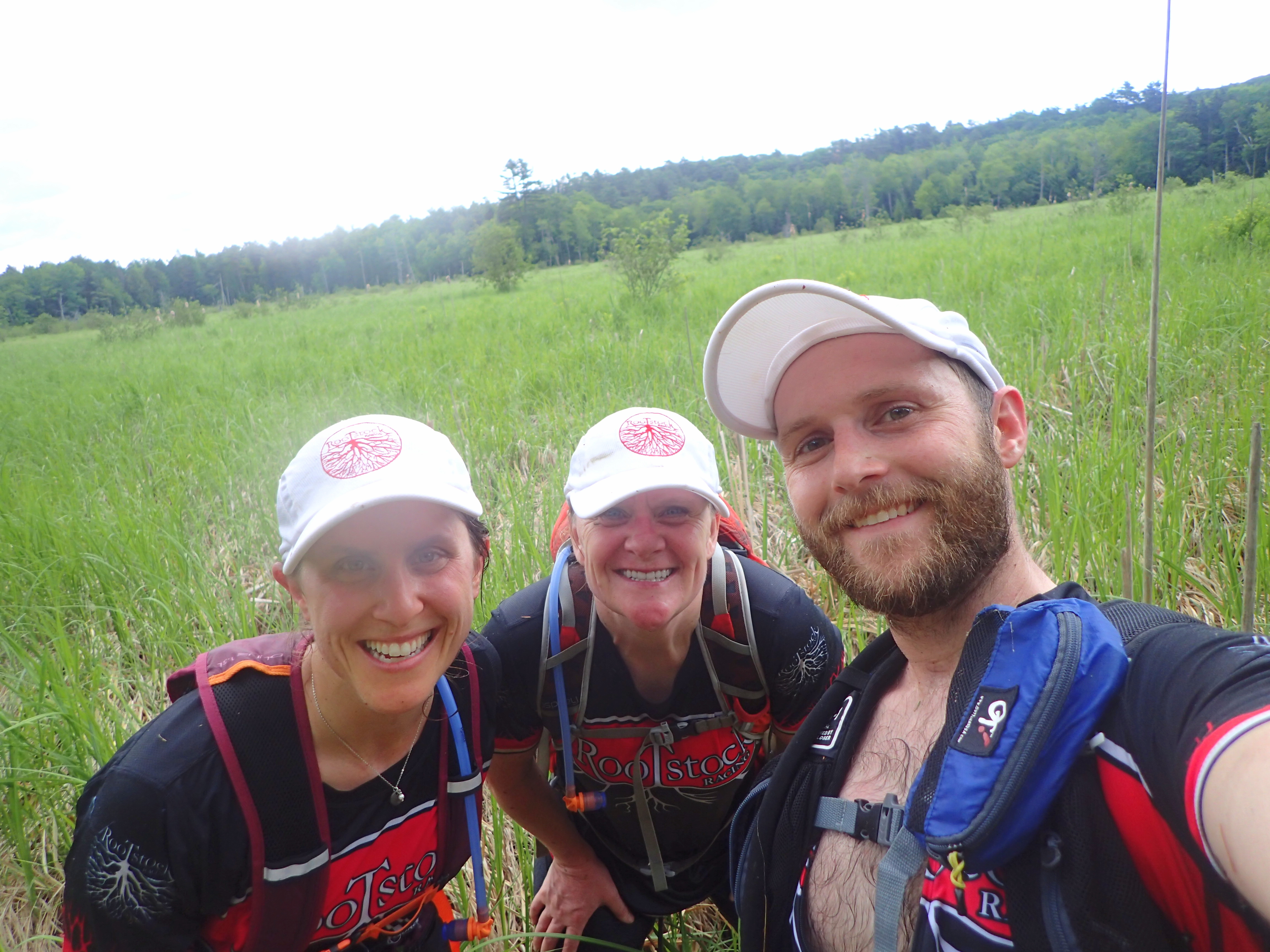
Into the marsh
The first half of the loop went well, but as we hit the fourth point, I simply crashed. I had finished my food (having started eating my race food before the race began due to the late bus), and the heat and sweltering humidity had taken a toll. My energy began to rapidly wane, and then Untamed appeared right as I began to weaken. We slowed down for the rest of the orienteering loop, eating the remainder of what food we had collectively, trying to allow my body to recharge a bit. Sadly, I’d get no immediate boost of energy as sometimes comes with an injection of food and drink.
With Untamed now ahead of us, we figured we were racing to hold second. As I noted, based on last year’s race and the fact that we were not going to be breaking any speed records on bike as we were collectively dragging a bit, we had no expectation of catching Untamed twice, especially since the rest of the race was all on bike.
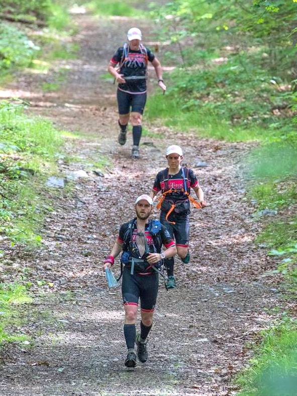
Downhill running was all I felt I had energy for, finishing up the O-section
So, we settled into the bike, slowly recovering over the hour and a half road ride back to the final TA and finish. When we arrived at the final TA, we were amazed to find that we were still in striking distance and that we had only given up a few minutes to Untamed on the ride. We looked over the final map and set off with no other teams in sight.
It would be exciting to say that we managed to pull off the comeback, but we didn’t. We did cross paths with Untamed once, at a point and with enough information to assume that they would beat us back to the finish, which they did. But we managed to finish second overall by a decent amount, one of only three teams to clear the entire course, and a full 90 minutes early. Additionally, our post-paddle race time was the fastest of the day, thanks to strong teamwork, efficient navigation (and some good and lucky gambles), and fast TAs. Happy with all of this, we enjoyed the great post-race spread put on by the RDs and Hidden Valley Nature Center, the gracious and stellar hosts for the Maine Summer Adventure Race.
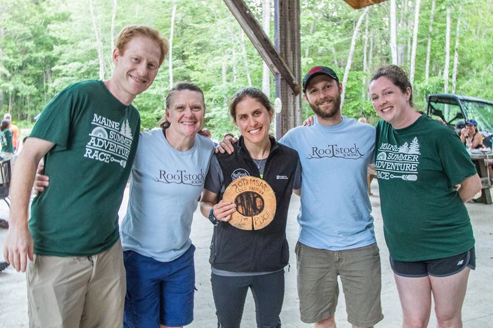
Finished!
Ultimately, it was a good final tune-up for the World Championship coming up next month. As was true last year, Kate, Cliff, and their team of volunteers from Hidden Valley and beyond put on a great event. The terrain is fun and interesting, and this year’s inclusion of the coastal paddle was truly special and spectacular. The checkpoints were perfectly placed, and lost bus aside (which was clearly the fault of the driver, not the race), the logistics before, during, and after the race were flawless. Rumor is, our friends from Strong Machine might have a 24 hour up their sleeve for next year. If they do, it will surely be one of if not the best 24 hour races on the east coast, and barring scheduling and life conflicts it will be at the top of our list for 2018.
Special congratulations to Untamed New England; racing is always best when you are neck and neck with another team, especially one that deserves your utmost respect, and doubly especially when you can count those people as friends. It was a blast going back and forth with them all day. Congratulations also to GOALS ARA for being the third and final team to clear the course (and for keeping us on our toes as they pushed us as well) and to all those new racers who made it to the finish. It was a long course in tough summer heat, and making it to the finish regardless of placement was no small feat.
Maybe next year, we can get that picture-perfect day for the sea kayak we have been waiting for for all these years.
Land of Ice and Fire
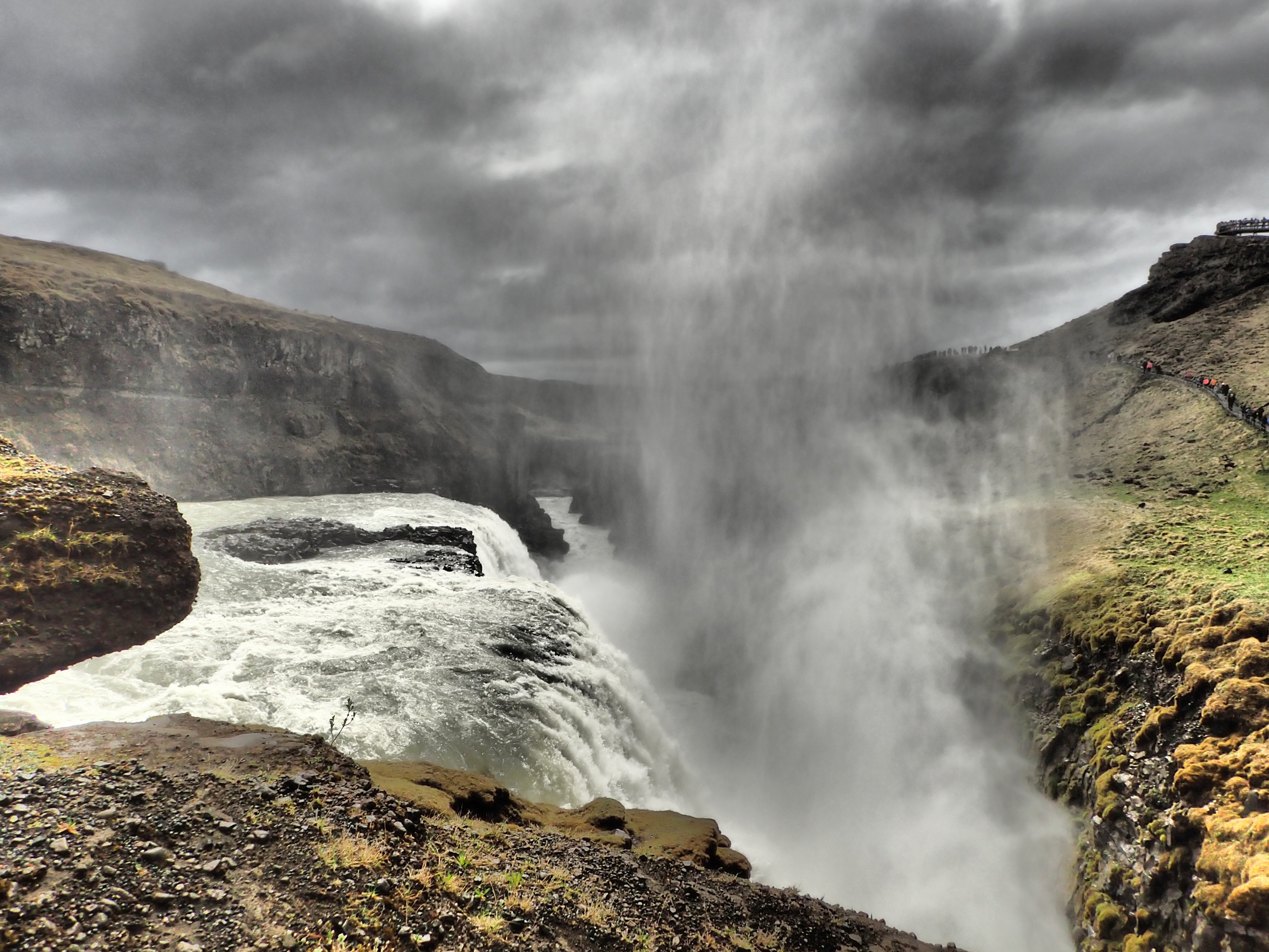
Gulfloss Falls: not on the racecourse, but it would make one hell of a rappel…
Preamble:
Thanks to our tremendous sponsors who kept us going as always: Thorlo and Foot Kinetics for keeping our feet healthy and warm in the jagged lava-rock and grit of Icelandic volcanoes. SOURCE hydration for quenching our thirst. Kanpas Compass for keeping us found. At least when we didn’t screw it up. And Trail Nuggets for fueling us and satisfying our hunger as the days grew longer.


Intro:
One year ago, on his podcast TA1, Legendary Randy took an hour to discuss all things Adventure Racing with elite racer, Aaron Prince. I was particularly intrigued by Prince’s ruminations about Mountain Marathons, events I had never heard of. No, these aren’t the sort of races that span 26.2 miles of rugged trail. Instead they are uniquely formatted hybrids of fell running and orienteering. I listened intently to his stories about various Mountain Marathons, all inspired by the Original Mountain Marathon, lovingly known as the OMM. Yes, like the Yoga chant.
I told Abby to listen to the podcast, and we both immediately began fantasizing about running our own Mountain Marathon inspired event under the Rootstock banner. So was born The Stockville, arguably our favorite Rootstock Racing event.
But I digress!
It wasn’t too long after listening to Aaron Prince’s podcast that we celebrated our ninth wedding anniversary. Looking ahead, I half-jokingly noted that we should do something crazy in 2017 for our tenth. As we were married on Memorial Day weekend, we are gifted with a long weekend every year, and I thought I might be able to wiggle one day off from work so we could justify hopping a plane to Europe or something for a four day whirlwind.
May 2016 turned out to be a nexus of good ideas, though we didn’t realize it at the time. Summer and fall passed us by, and our attention was focused on directing our first Stockville at the peak of fall foliage. Sometime last fall, we were perusing the OMM website, and we noticed they were running an event in Iceland on…you guessed it, our anniversary weekend. We sat on the idea for a while, and sometime around New Year’s, we took the plunge and registered for the race.
Format:
For those not familiar with a Mountain Marathon, here’s the idea: teams of two start on Day 1 and travel to a mid-camp. On Day 2, teams travel to the finish. Some courses are linear in nature, some are score-O. Competitors carry all their gear (unlike in our fall Stockville race when we transport tents and cook gear for teams) for the duration of the event including food, and they spend the night at mid-camp.
For OMM Iceland, 2017, the course was score-O only, and teams had seven hours on the first day and six hours on the second to collect as many points as possible with controls having different point values. We were bussed to a start-line on a gravel road in the middle of rolling lava fields, mostly blanketed in a thick moss and a thicker cloud. The OMM staggers the start, letting teams go every minute or so, and we wouldn’t see the maps until our time officially began.
Ultimately, we stepped to the starting line with relatively low ambitions:
-
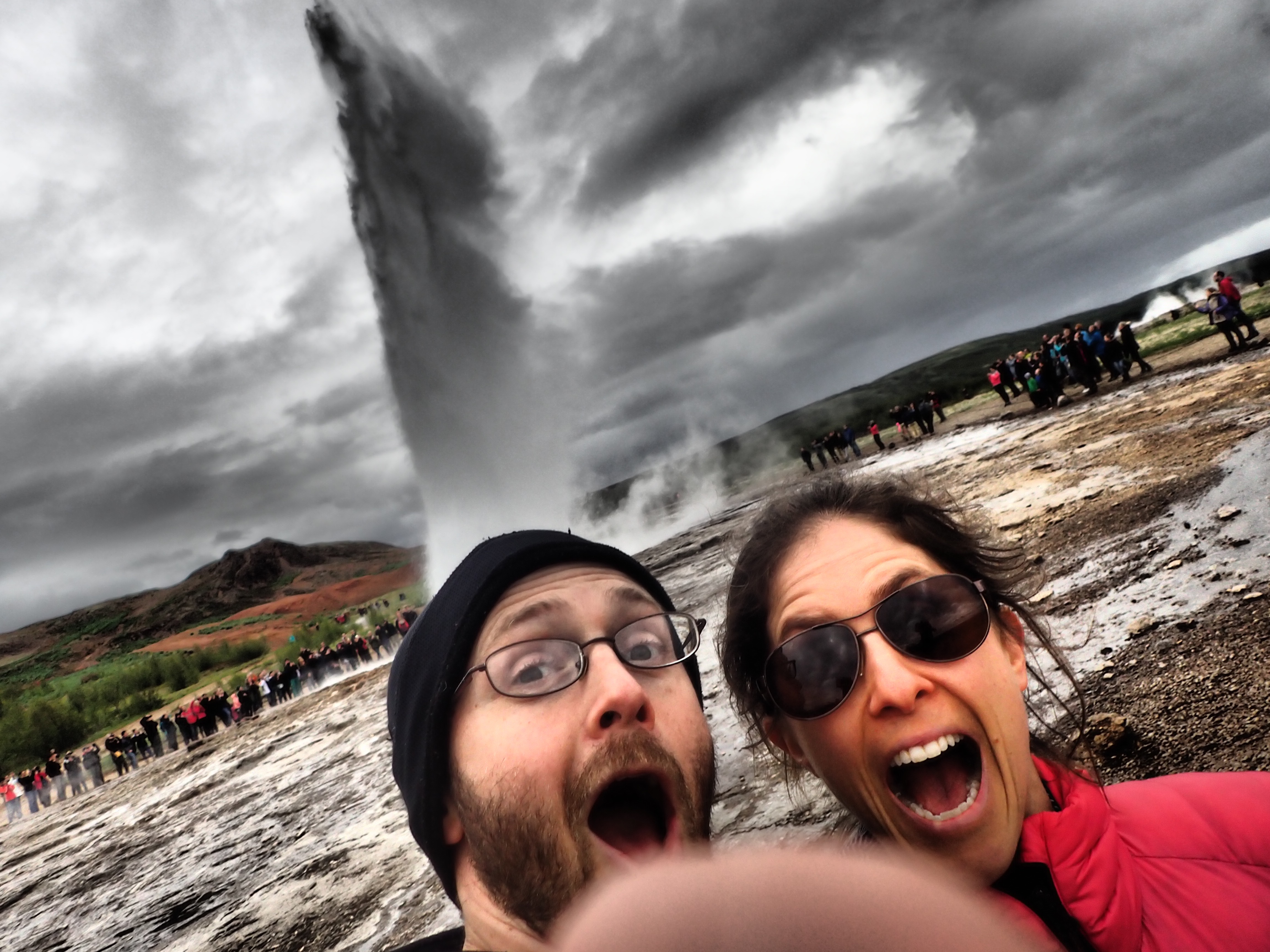
Making the most of Iceland before the race. Thumb and Geysir photobombs!
We were tired. Life in general has been non-stop, and the lead up to the race wasn’t exactly restful. We had jumped on a 630PM flight out of Newark on Thursday, but we found ourselves in Iceland five hours later, transported across time. It was 5AM on Friday, and neither Abby nor I had done more than doze for an hour or two flying across. Rather than take it easy, we wanted to make our one full, non-race day count, so we rented a car, drove the Golden Circle, ate ice cream, walked alongside magnificent waterfalls and stopped here and there to keep ourselves awake or take a quick AR-style nap on the side of the road. Somehow we made it through the day, and we did sleep heavy on Friday night. But our excitement to race was masking exhaustion.
-
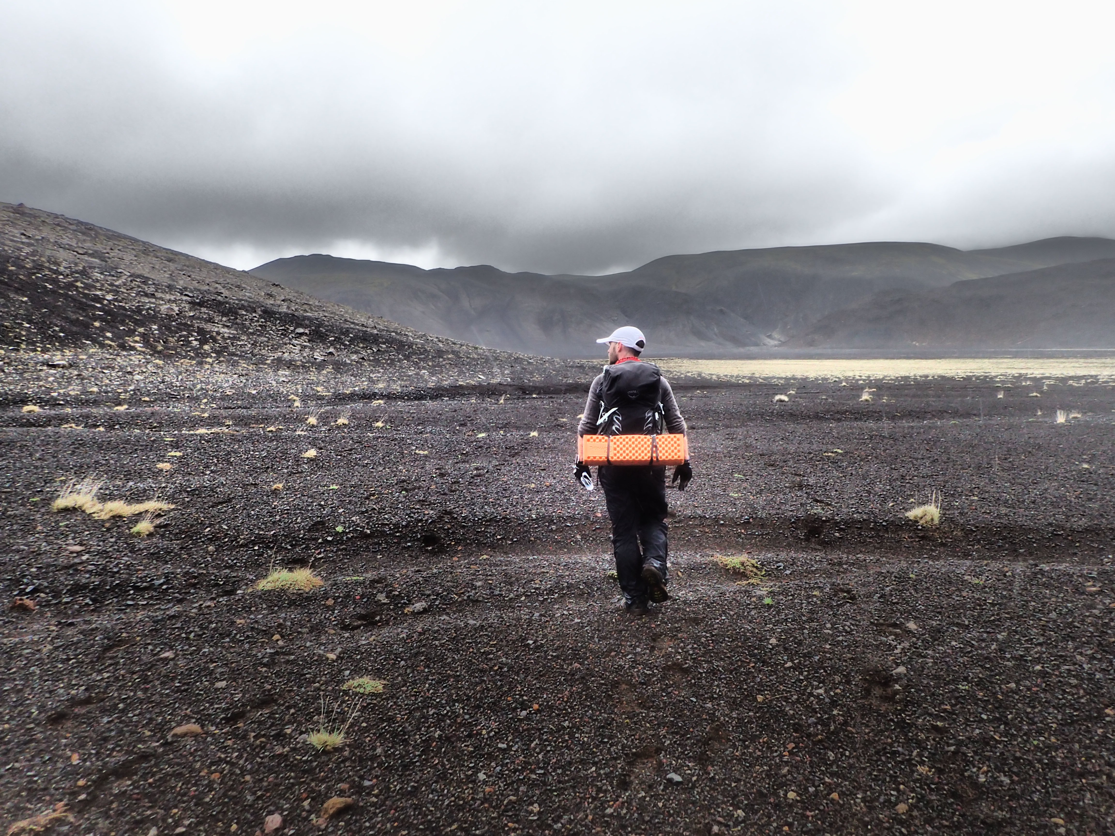
Big Packs. Though not quite as heavy as they looked…or so we kept telling ourselves…
We had “big” packs. They actually were bigger than they looked and not as heavy as some of the experienced OMMers speculated. Still, our packs were on the big side for the event, and we knew there were a number of teams that were probably traveling with several pounds less. Honestly, we weren’t expecting to be competitive, and we also chalked it up to good training for the World Championship.
-
Anniversary romance in Reykjavik!
The race was populated by experienced orienteers and fell runners, not to mention seasoned vets of the OMM. We’re not built to compete with such athletes, and we know it.
- It WAS our tenth anniversary. Last time we raced for our anniversary was for #2. It didn’t go so well. We laugh about that one now, and it is one of our more memorable anniversaries, but it wasn’t as much fun as it should have been. We have changed a lot as racers since then, but we both were just looking to have fun, see Iceland in a unique way, and take some pictures:)
Day 1:
We talked briefly before our start time and decided to look at the map for a minute or so and head out of the start area. We could plan more on the way. Here was our first “mistake”: we looked at the map as planned, set off as planned along a long stretch of road but we didn’t look at the map as critically as we should have as we jogged off. We knew that the six eastern-most points were only accessible on Day 1, and so our goal was to head out there directly. Had we examined the maps more closely, we MIGHT have adjusted our strategy slightly, and this might have led to a better first day and a better finish overall. Even then, though, I’m not positive we would have changed our route as the problems we encountered were more of the unpredictable variety. Ultimately, we had more fun with our route than we would have, had we modified it in the ways we have discussed since.
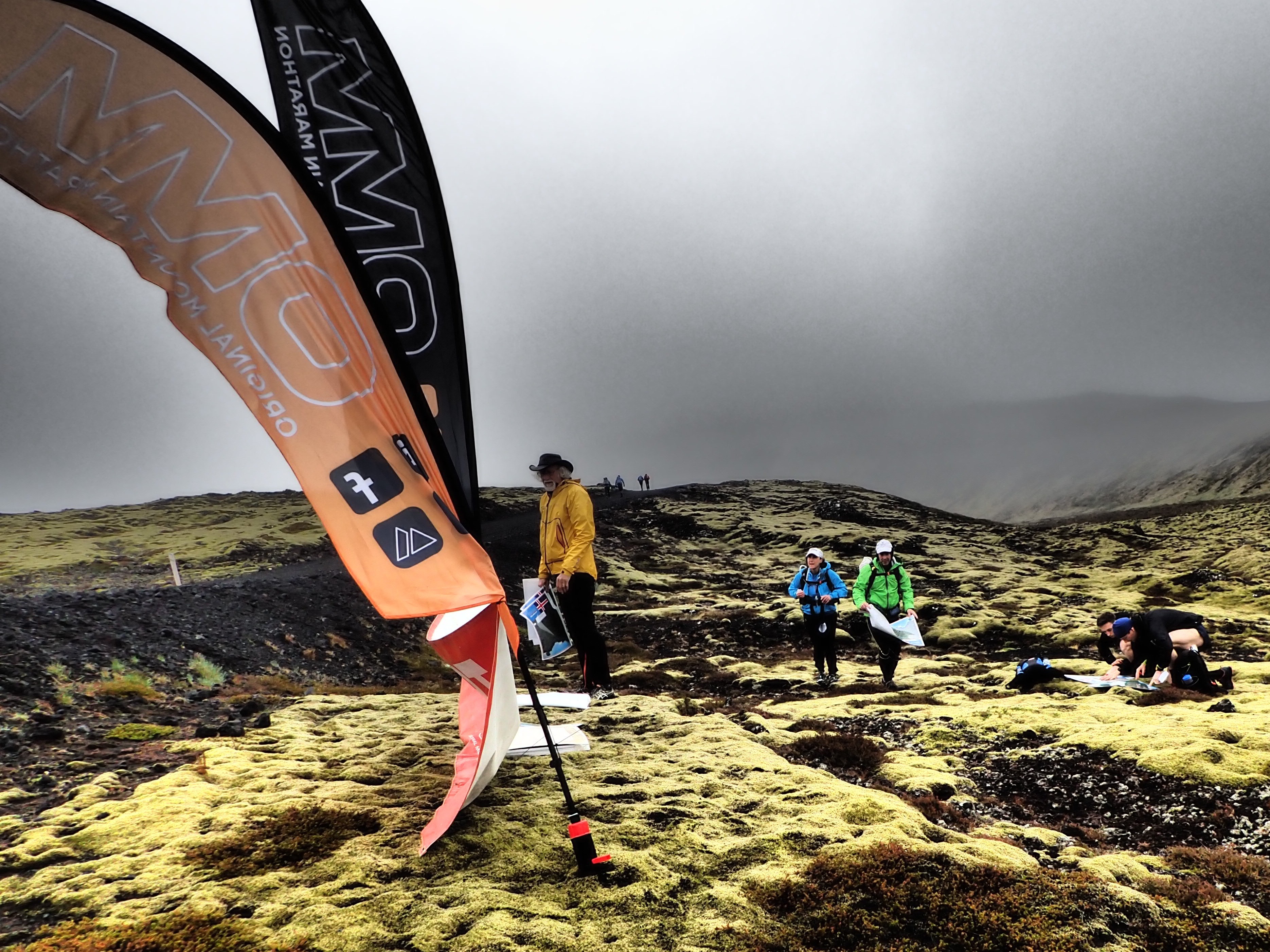
Pete and Shari, ready to roll at the misty start of OMM Iceland.
The first point was up in the foothills of a high ridgeline. The road we were running for much of the first 45 minutes or so rolled around a flat plain and junctioned with a trail that would take us close to the point. As everyone had discussed, traveling on roads and trails was usually faster and one could navigate much of the course on Day 1 simply by running roads and trails.
Here we are! Stupid Americans…Here we are!
Well, we quickly decided to have some fun and we jumped off the road allowing several teams we were traveling with to stay on the road for longer distances. The terrain looked manageable, and we found we were able to run along the base of the foothills without slowing much. We caught some teams at the first point who had used the trails, and we were feeling good about our start.
Our second point, AK, was on a small lake high up in the volcanic ridges. On the map, a trail led straight to it. BUT…
- Problem 1: it was quite foggy and hard to see, conditions that would hamper everyone all day long making navigation more challenging. Not to mention the 20 meter contour intervals on the map which meant massive volcanic mounds and reentrants didn’t show up on the maps.
- Problem 2: we quickly learned that trails were suggested routes, often only visible with the help of painted posts…which were not always easy to see in the fog.
So, we spent a couple of minutes trying to figure out where this mapped trail was with no luck, and we finally just headed up into the mountains. What came next was a spectacular journey up and along an exposed ridge. We climbed around rock formations, found ourselves next to bubbling, unmapped geothermal pools, and totally unsure if I had a clear bead on the maps; there was just so much unmapped big terrain up there. Our pace was slow, not because of the terrain or our packs but because we couldn’t see well, and I was being extra cautious with the maps. Finally, we found the lake, and I breathed a sigh of relief as we had traversed the ridge exactly how I had wanted to after giving up on finding the trail. We had lost a decent chunk of time, but it was well worth the adventure.
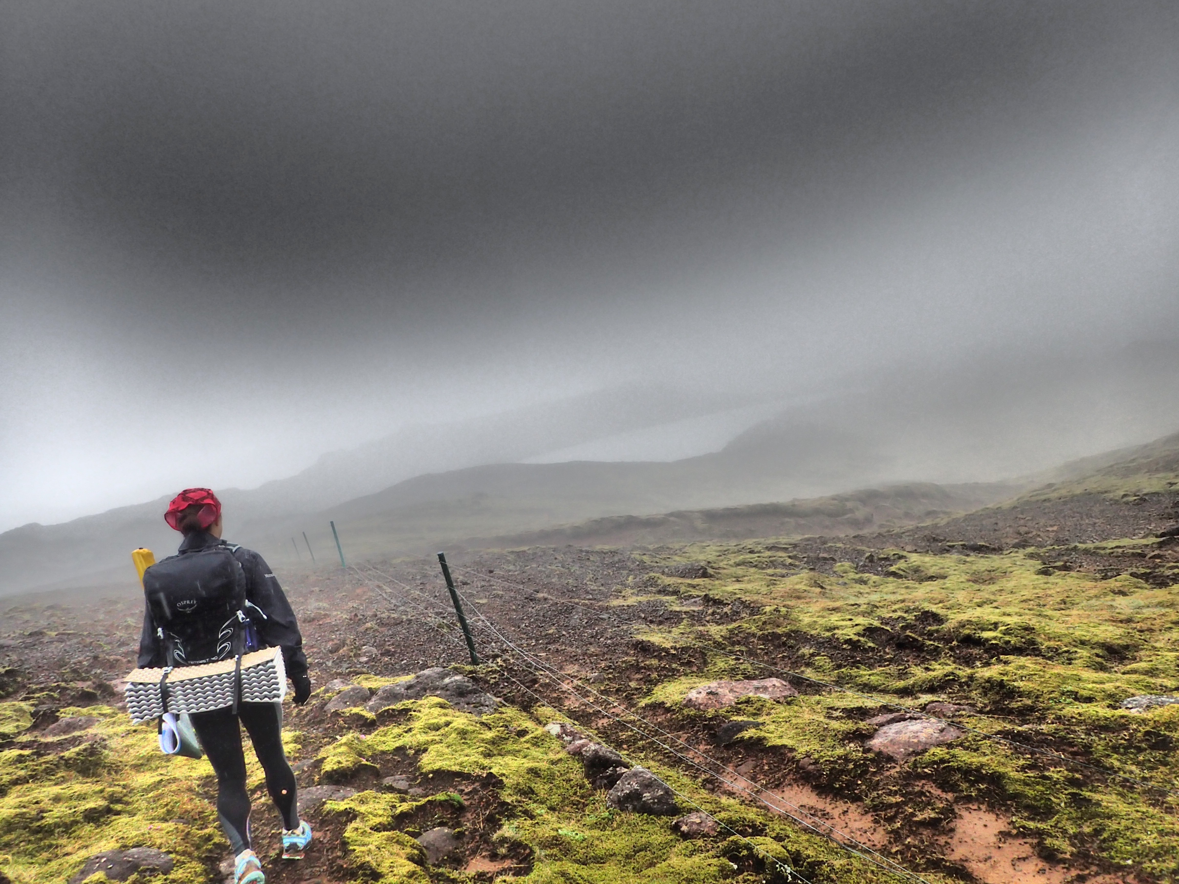
And that basically was the theme of our day. We picked off four of the controls on the eastern side of the map, making better time for a while, and then we set off to travel up and over a high ridge, hoping to reach a cluster of three or so more points before taking on a long run to mid-camp. We had no idea how the “lavawhack” would go, and by the time we began we had a feeling we would be late. But again, we decided to just have fun with it, so off we climbed.
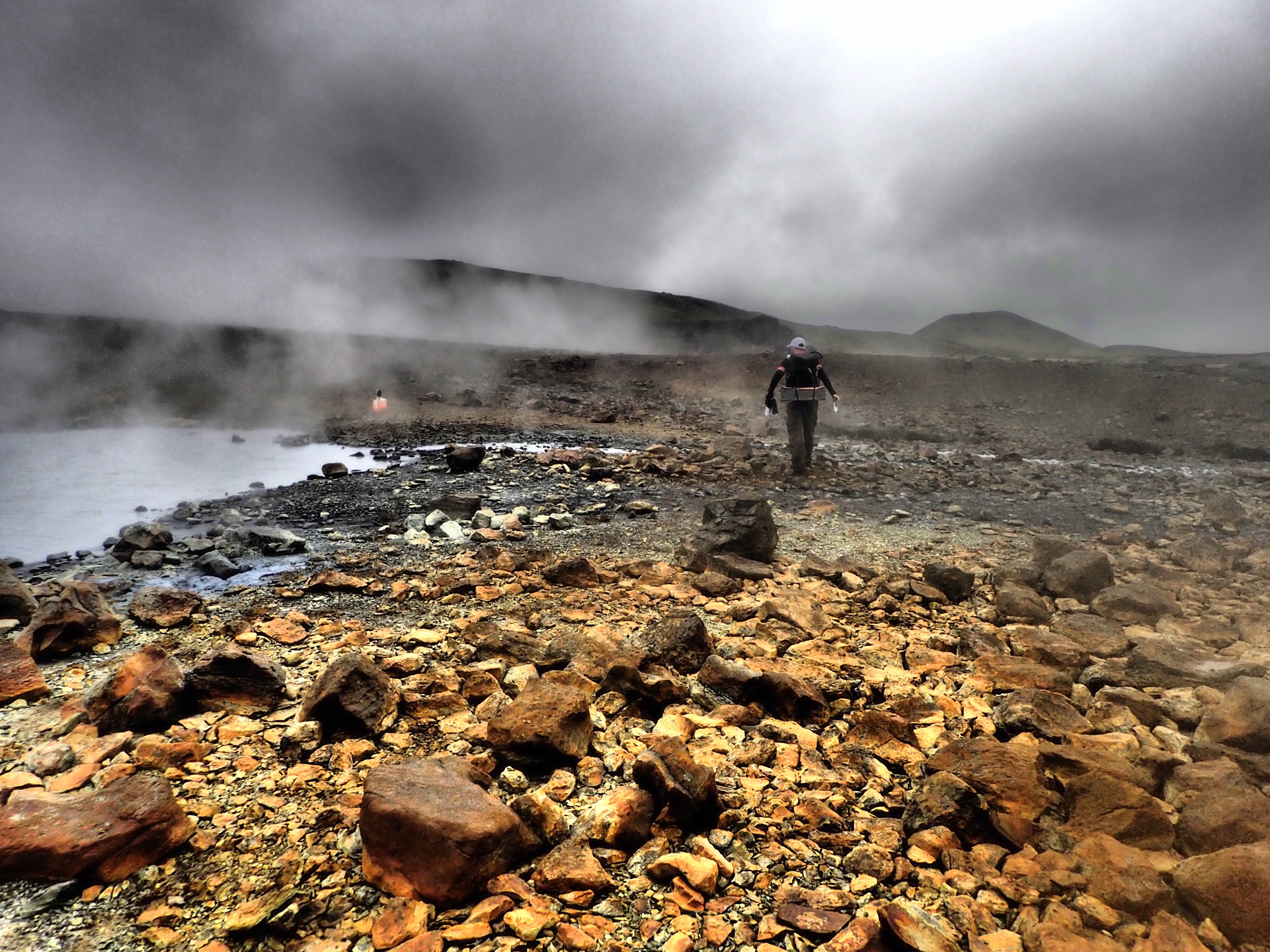
The climb up went well as we disappeared into the fog and mist. Giant formations of rock and impassable cliff faces emerged out of the haze as we scrambled up. We had a blast and managed to summit in less than twenty minutes. But as we feared, when we began to look for a way down, time sped up, and the minutes sped by as we found ourselves cliffed-out and looking for a way down.
Ultimately, we managed a safe descent and found ourselves in a massive flat space, dotted with looming formations that once again didn’t appear on our maps. I was careful to follow my compass as we wanted to head west, crossing a road and some trails for the final points of the day.
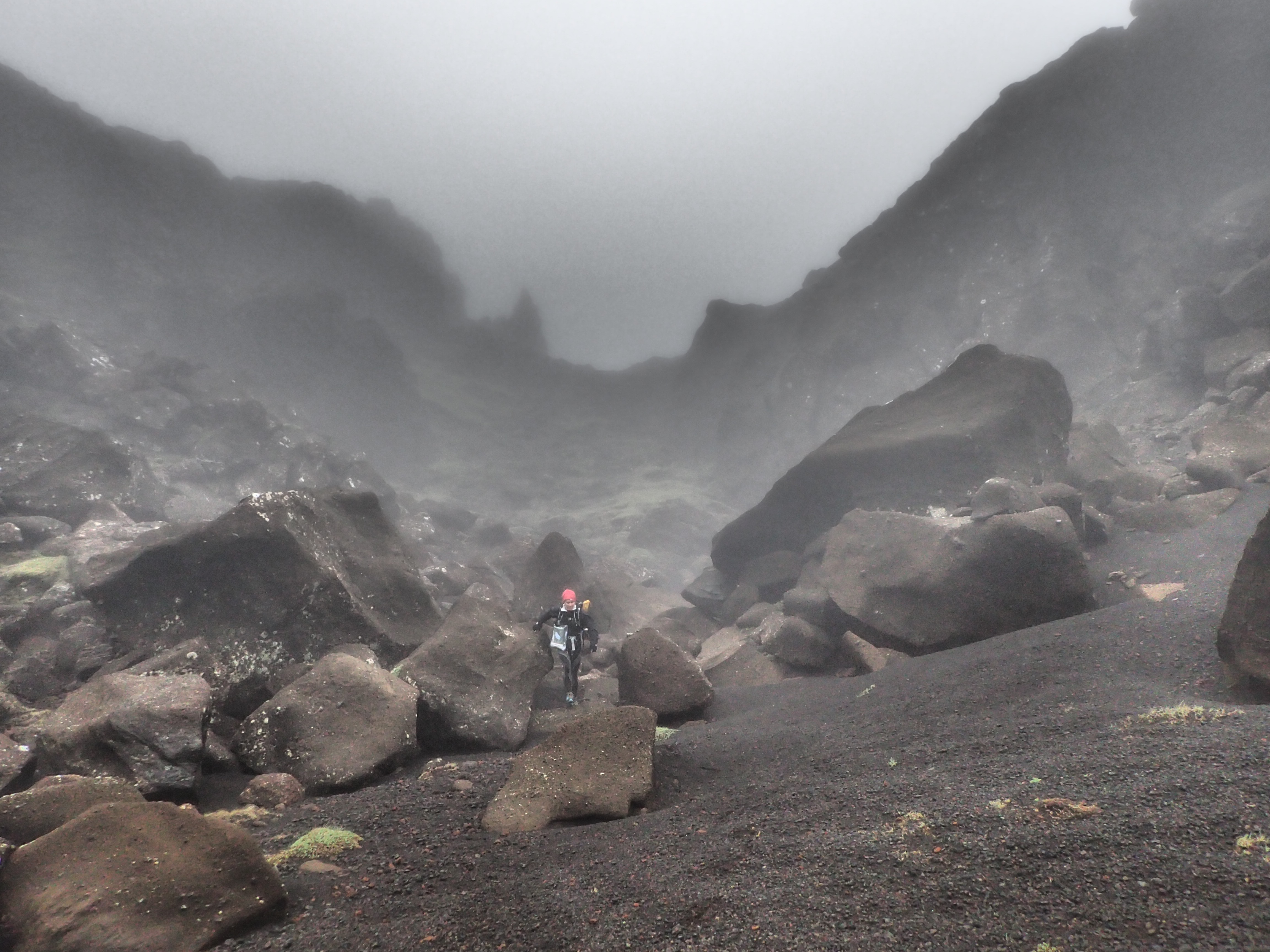
Alas, I either didn’t follow the compass well enough, or the volcanic rock was affecting the compass a bit, because we found ourselves running further than we expected, and when we finally did hit a trail, it did bewildering things. We spent 10 minutes or so trying to sort things out, and I did notice my compass was tracking rather slowly, making me wonder if perhaps we had wandered a bit. Finally, we gave up and started running south along the trail, the general direction of Mid-Camp.
Several minutes later, we found…AK. Again. And I cursed a bit. We had drifted quite a ways south after summiting the ridge. A stunning distance in fact. Our hopes of bagging those last three points evaporated in the clouds and rain, and we worked our way across another kilometer or so to pick up the road that would take us in. Our spirits were low, but we were happy to see a number of other teams running in as well. All seemed in similar spirits, and it was clear we were not alone in being late.
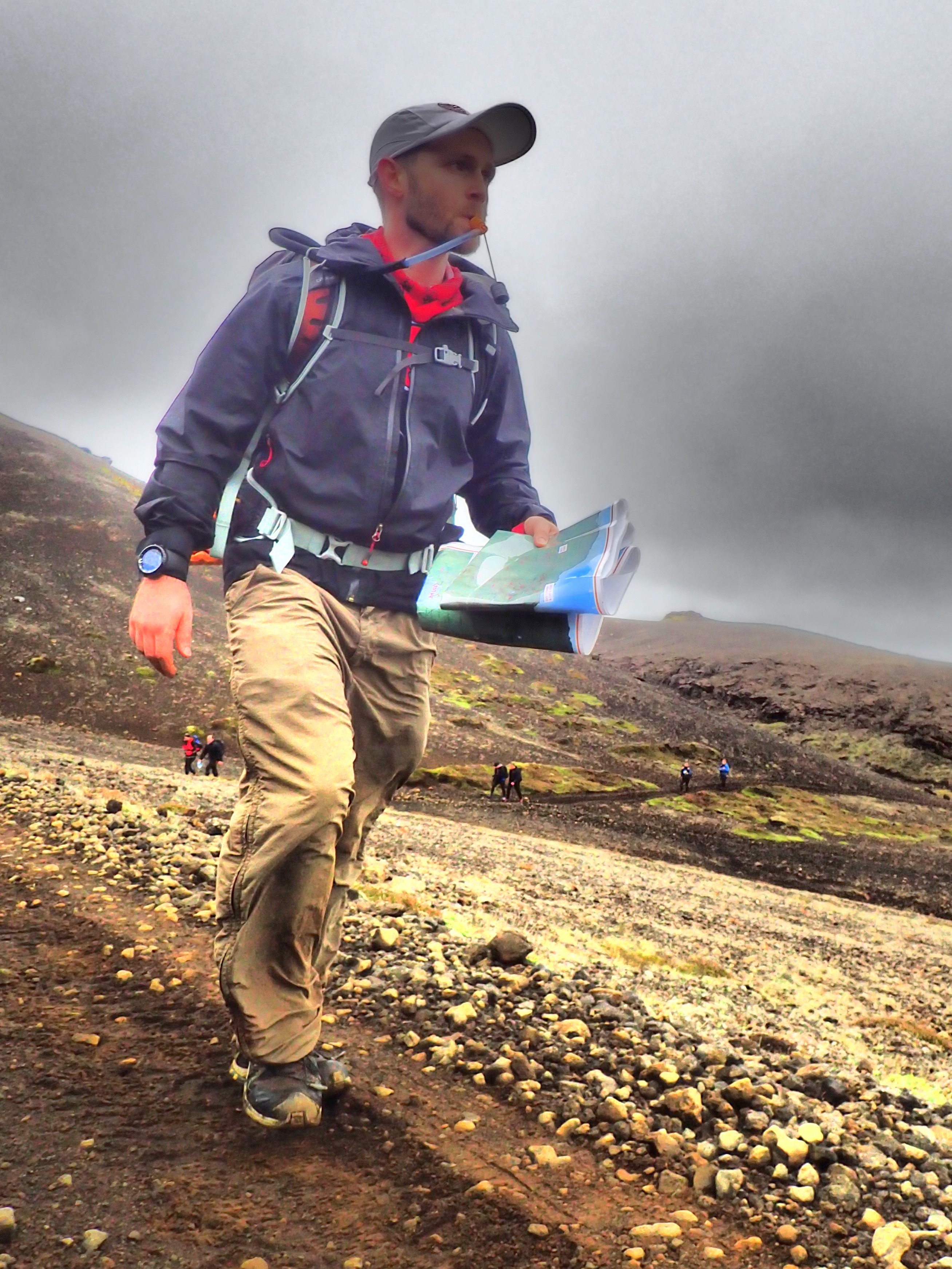
On the way back in, we were able to quickly pick off two easy points that would help offset our time penalty a bit. We made it into Mid-Camp 22 minutes late, which meant a 44 point penalty.
Oh well! The day hadn’t gone according to plan, but we had traveled through an incredible landscape of mountains, valleys, hot springs, and lava formations. We felt confident that we would do better on Day 2. And we now had the pleasure of camping with friends next to the ocean. In Iceland.
Mid-Camp:
Mid-Camp, a grassy oasis nestled among all the lava rock, sheltered from the stony black beach by a wall of lavarock, waited on the other side of a culvert. When we rolled into camp we were surprised to see that there were a fair number of teams still out. We spent the afternoon and evening chatting with new friends and hanging out with Pete and Shari who had come across the pond as well. They were already in and had set up their tent, and once we were all settled, we compared stories, cooked and ate our food, wandered along the lava beach on the rolling Atlantic, and ate some more.
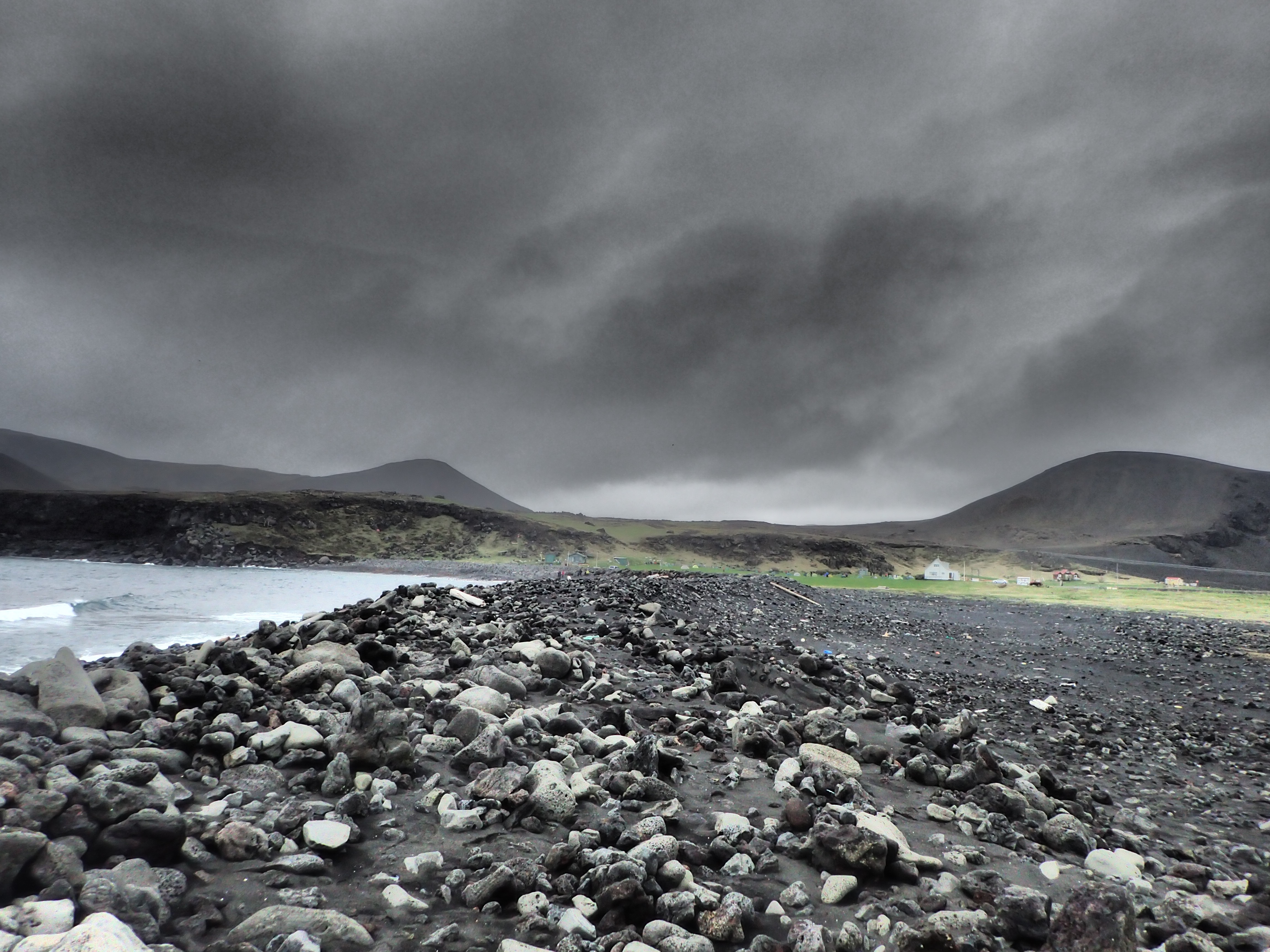
Mid-Camp: behind a rocky, rollicking Atlantic “beach”
As it turned out, a lot of teams had similar issues as we did, and some came in well over an hour late. 19 of the 37 long-course teams were late, and 15 of the 21 short-course teams. Nearly 60 percent of the entire field, and many seemed to have the same issues: nav issues in the fog, underestimating the terrain, and finding themselves too far out on the eastern side of the course. We were ranked 22nd overall out of the long-course teams, and we were tied for third in the mixed category. We worked out our plan for Day 2, discussing three or four iterations of a route before settling on our final plan. And then we went to sleep.
Well, we pretended to sleep, and we were amazed that most others seemed to sleep well despite the fact that it remained lighter than it had in Alaska when we raced there two summers ago. We started packing up the next morning around 5, grateful for our expedition racing experience considering we basically hadn’t slept two of the last three nights.
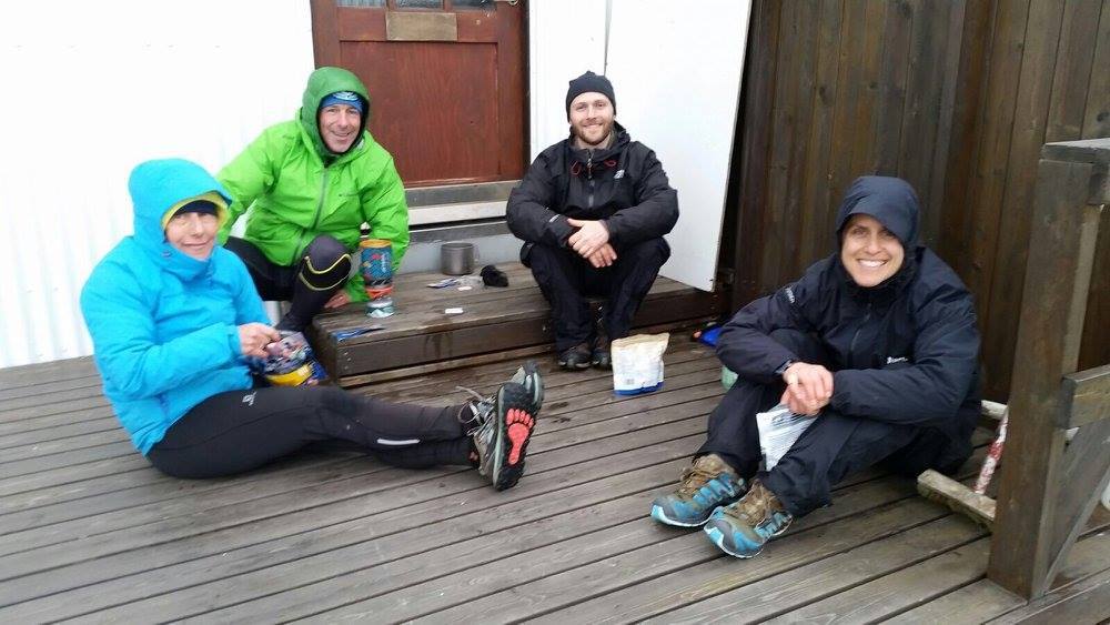
Cooking our second dinner of Mid-Camp with Pete and Shari.
Day 2:
After our unplanned adventures on Day 1, we felt it would be wise to play the day a bit safe, shortening our distance knowing we might drop some points that MIGHT be accessible if we took on more distance. We’d start off with a road run, bagging some easy points along the way north, before heading up into a pocket of volcanic peaks and ridges that would keep us off-trail for a couple of hours.
As was true the day before, we had a wonderful time traveling off-trail, and we found ourselves running with or around some strong all male teams. We had crisscrossed with some other mixed teams, and while we didn’t know for sure who our competition for the podium was, we felt that we were making up ground on at least a few teams. In addition, we were nailing the nav, which was made significantly easier by better visibility, and our route choice seemed more efficient than many of the other teams we observed.
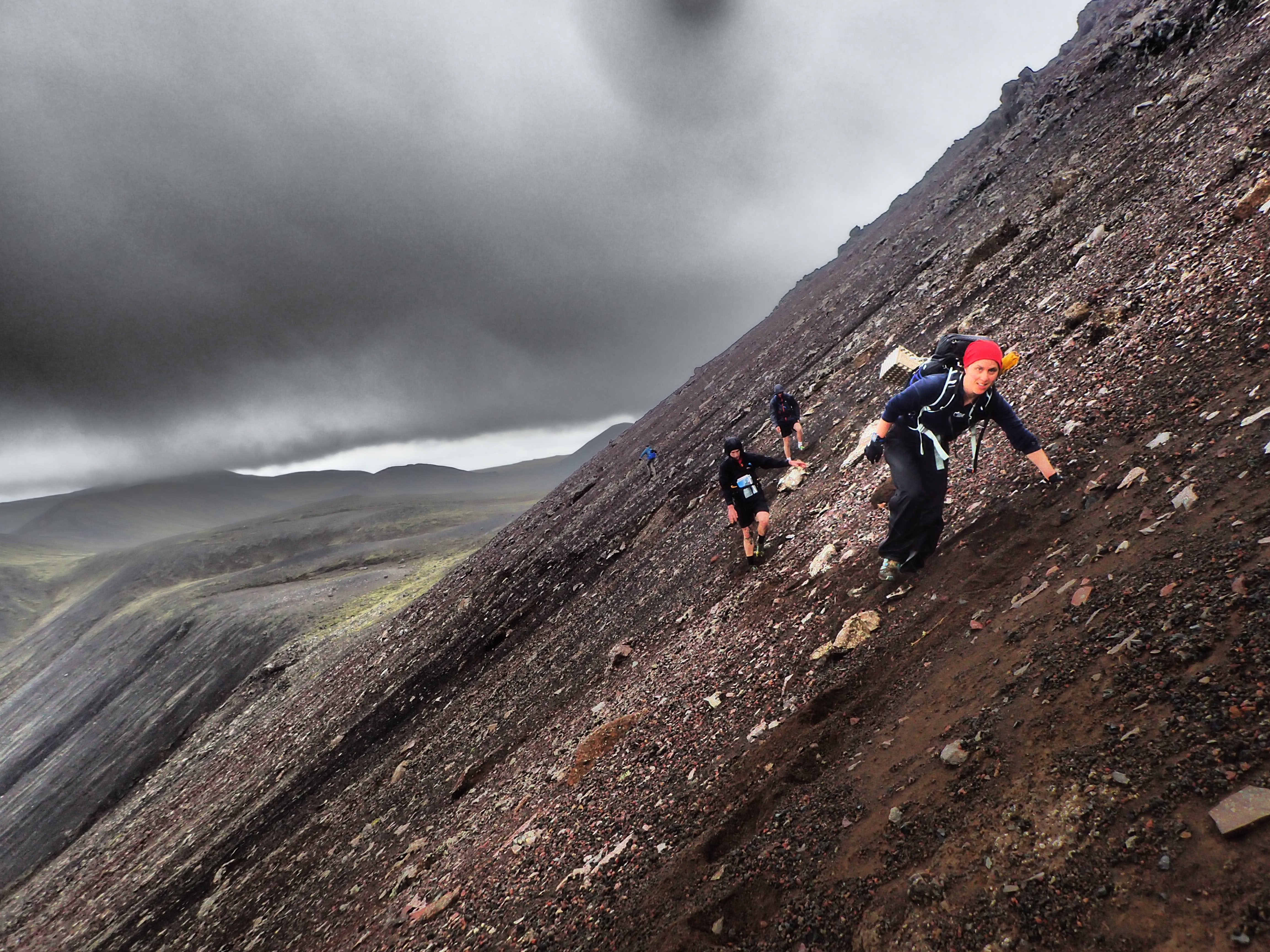
Traversing steep scree and dirt slopes. The traverse wasn’t too bad. But the prospects of slipping into all the razor-sharp volcanic rock shards kept you on your toes.
With about two hours left we found ourselves alone for the first time in a while. The two all-male teams we had been with had seemingly peeled off onto a slightly more conservative track. We continued making steady progress, but as we ascended onto the last high ridge, the winds began to roar, the rain sleeting sideways. Eyebrows arched, we momentarily compared the conditions to Ireland, agreeing that we weren’t quite there yet, but steeling ourselves against the punishing conditions which were climaxing as we found ourselves totally exposed. By this point, however, we were close to done, and I at least was enjoying the elements in their fullest.
In such moments, I think of John Muir’s escapades, tethering himself to the top of a pine tree during a Sierra tempest so he could be one with the tree in the storm. I’m not necessarily interested in tying myself to a swaying pine tree, 100-200 feet off the ground, but I generally love those moments as Mother Nature totally absorbs you…Though by Day 5 of weathering gale force winds and rain in Ireland, I admit, I was over it…
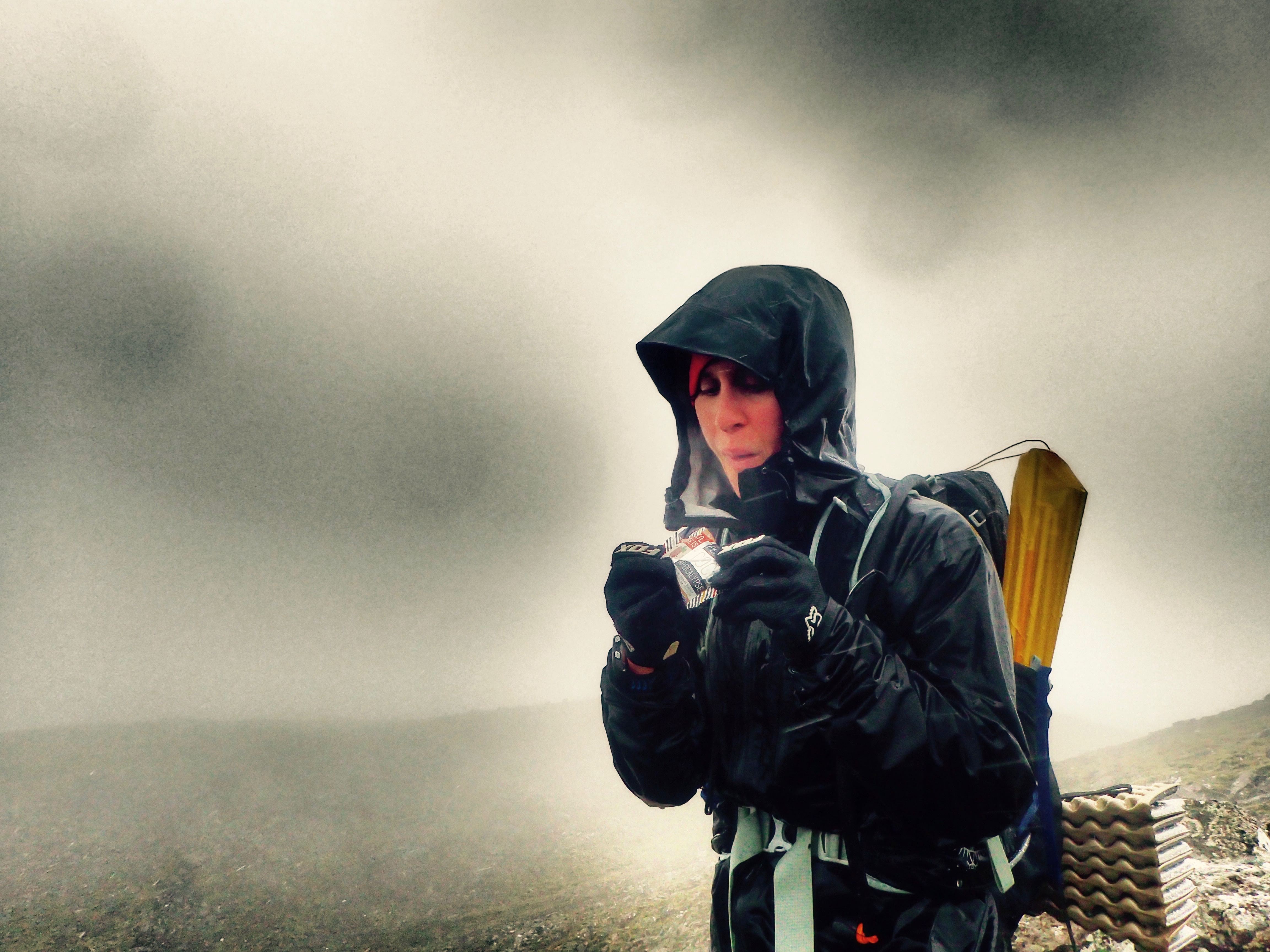
Trail Nugget break as the clouds and wind rolled in.
As we neared the finish, we went back and forth on whether to make a run at one last point, but we ultimately decided not to risk it and headed to the finish in the center of Grindavik. We ran into the finish, a comfortable 25 minutes or so before our six hours expired, and we were thrilled to find we had moved up 10 spots to settle in at 12th overall and first mixed. We took note of the fact that a smarter and more accurate route on Day 1 might have propelled us into the top five if not higher, and even though we didn’t achieve that we felt good about our performance considering our loads and the fact that we passed ten teams on Day 2, finishing in a tie for 5th for Day 2 (based on points).
Post-Race:
It really was a tremendous event. The race was well organized, the terrain magnificent, the community welcoming, and Iceland an amazing place to travel and play in, even if only for a few days. And when it was all over, we found ourselves basking in the Blue Lagoon, exchanging stories with other racers, soaking in the thermal, azure waters, and floating about in the mist. And that was before we headed back to Reykjavik for an exquisite seafood dinner with Pete and Shari. While it would be unfair to compare the experience to a major ARWS event, it was without doubt one of the absolute best race weekends of our careers.
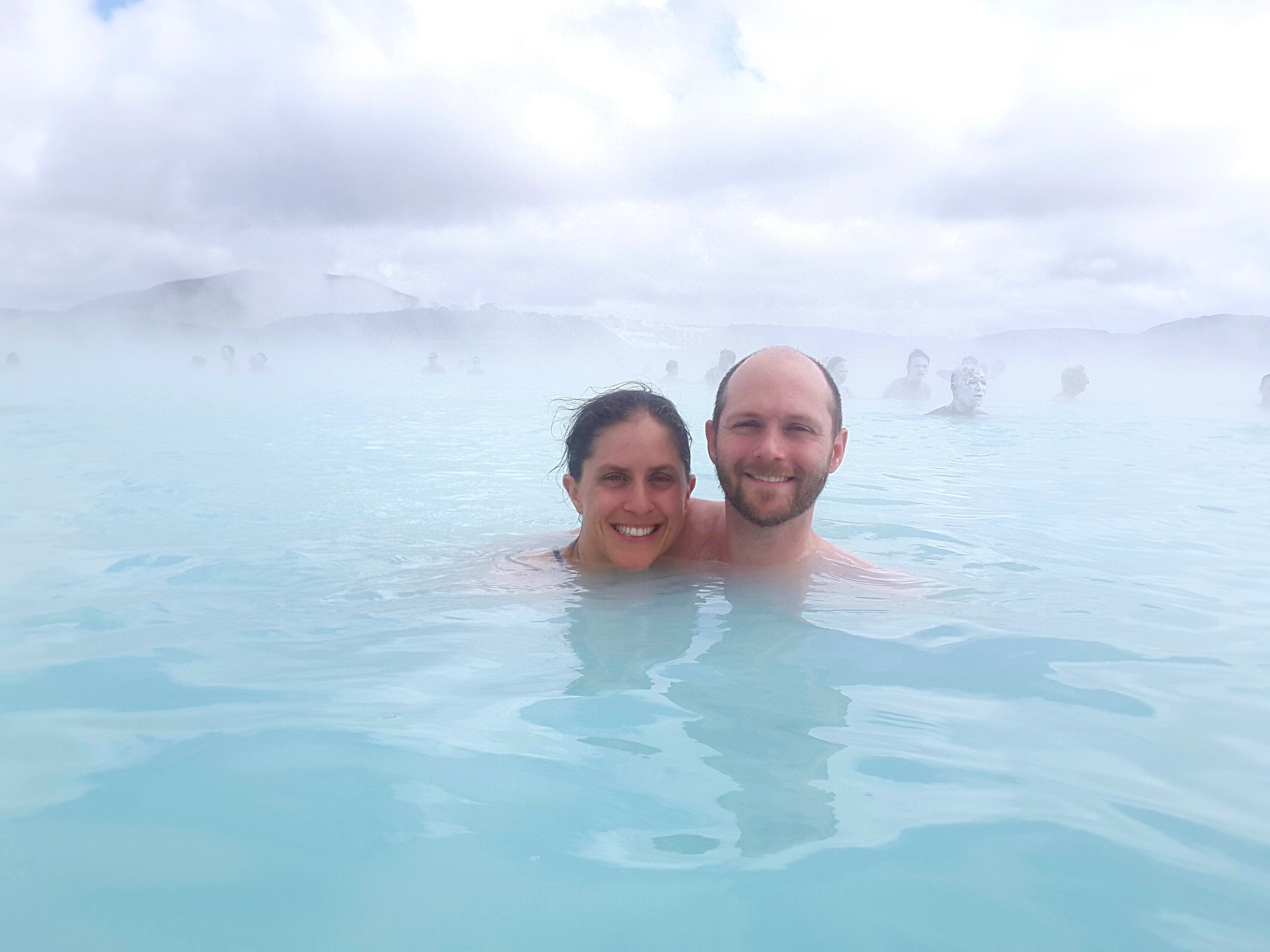
Two lost night of sleep, two days of epic beauty, racing, and weather, and an afternoon soaking in hot springs. Priceless…though a bit unnerved to see we were surrounded by zombies, and we didn’t even know it.
Special thanks to OMM for hosting a great event and for being so welcoming to all new OMMers, and congratulations to Nick Barrable and Tom Fellbaum for their overall win. Not only were they impressive competitors, but they also were gracious in victory, and it was a pleasure to meet and speak with them about racing, gear, and common friends. We met many more amazing people over the course of the weekend, and we left with nothing but the fondest memories of our journey through Iceland. Next time, however, we might take the competition side a bit more seriously. I’ve already sorted out how to cut our base weight in half. At least.
Where the Winds Blow
It took me 9.5 hours to drive from Philadelphia to Williamsburg for Soggy Bottom Boy’s Sproute Adventure Race. One way. For an 8 hour race. That rule of spending more time on the race course than in the car? Yeah, shattered.
But somehow, Joel and I were rewarded with an epic little adventure that one might find in a much longer race but which is rarely if ever found in sprint adventure racing. And I have a race report that may be my longest aside from those written for expedition races. Yeah, it was a crazy day in the woods!!
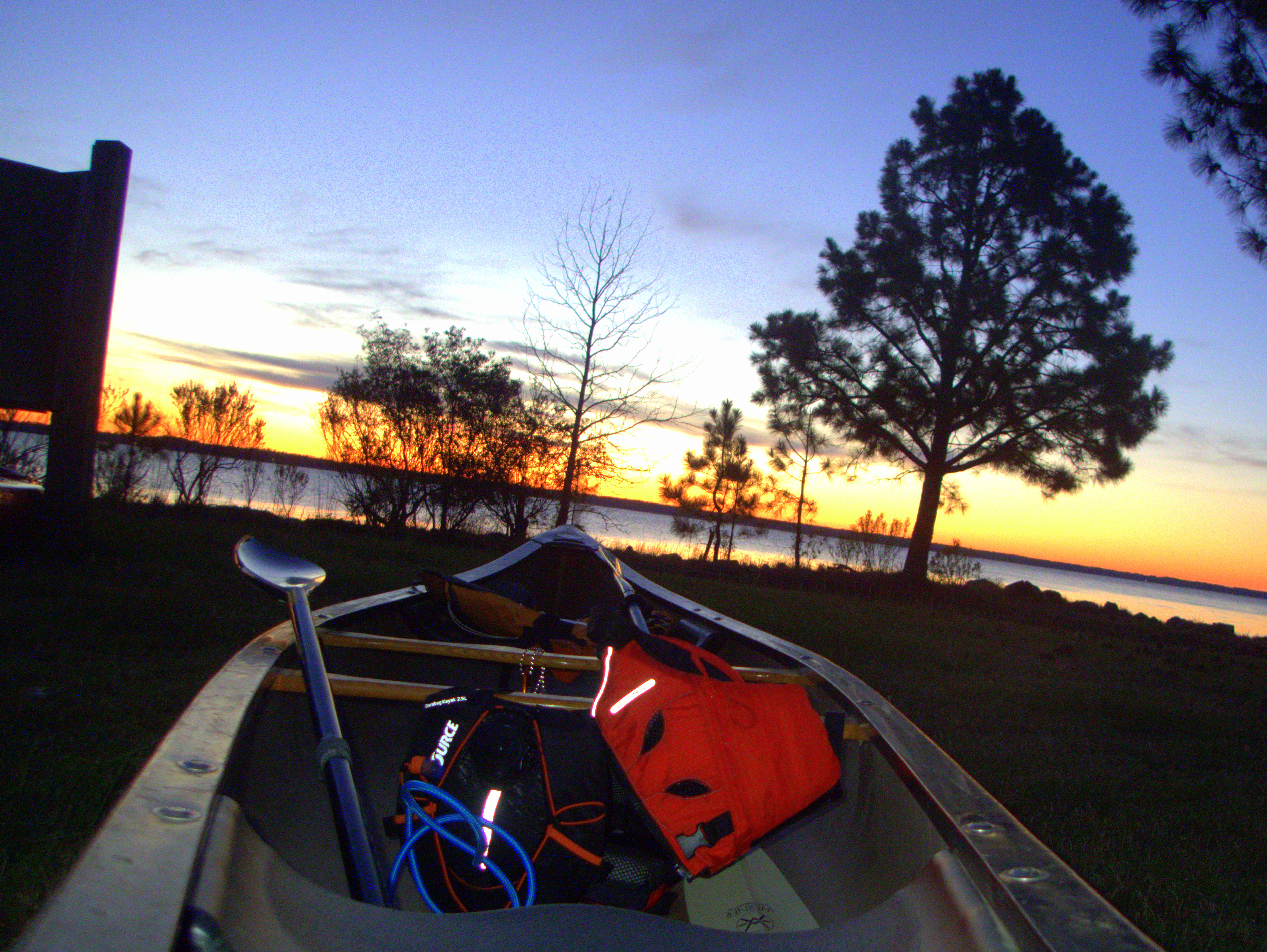
The calm before the storm. The glassy, peaceful waters of the York River. And our brand new SOURCE Durabag Kayak. A game changer for boating hydration!
Before I continue, I would like to firmly and definitively state that there were some genuinely scary and dangerous moments in this event, not because of what the organization did, but because mother nature decided to add a last minute twist to the race. As a long-time racer and race director I know that these situations are very real for all those involved. While Rootstock Racing was able to weather the metaphorical…and somewhat literal…storm and have a successful and rewarding day of racing, others were not so fortunate, and our thoughts and sympathies are with those whose day ended early. Thankfully, as far as I know, everyone was and is OK, safe, and healthy, but still: we all take on risks in the sport of adventure racing, and even when you are least expecting a wild and dangerous situation, anything can happen. Those moments are intense and the gravity of such situations is not to be taken lightly. I’m just glad that the race organizers and emergency personnel were able to help all those in need.
On with our story:
To get right to it and summarize, the course overview:
- Prologue: foot orienteering with three checkpoints in a loop around the start/finish/central TA in York River State Park.
- Bike to a remote TA for a 10+km or so paddle. We had to provide our own boats. We brought a canoe as we don’t have a tandem kayak. Paddling on the York River. A canoe would be fine, right? Almost everyone had kayaks. We noticed two other canoes. Canoes…
- The paddle ended at the central TA, start/finish. From there, to be done in any order:
- Either a foot orienteering loop or:
- A mountain bike loop. Minimal navigation necessary. There were ten unmapped controls hanging along a twisty, turny, fun single track trail. Teams simply had to navigate to the trail, ride it one way, find as many flags as possible and then return to the finish/TA on whatever trails worked.
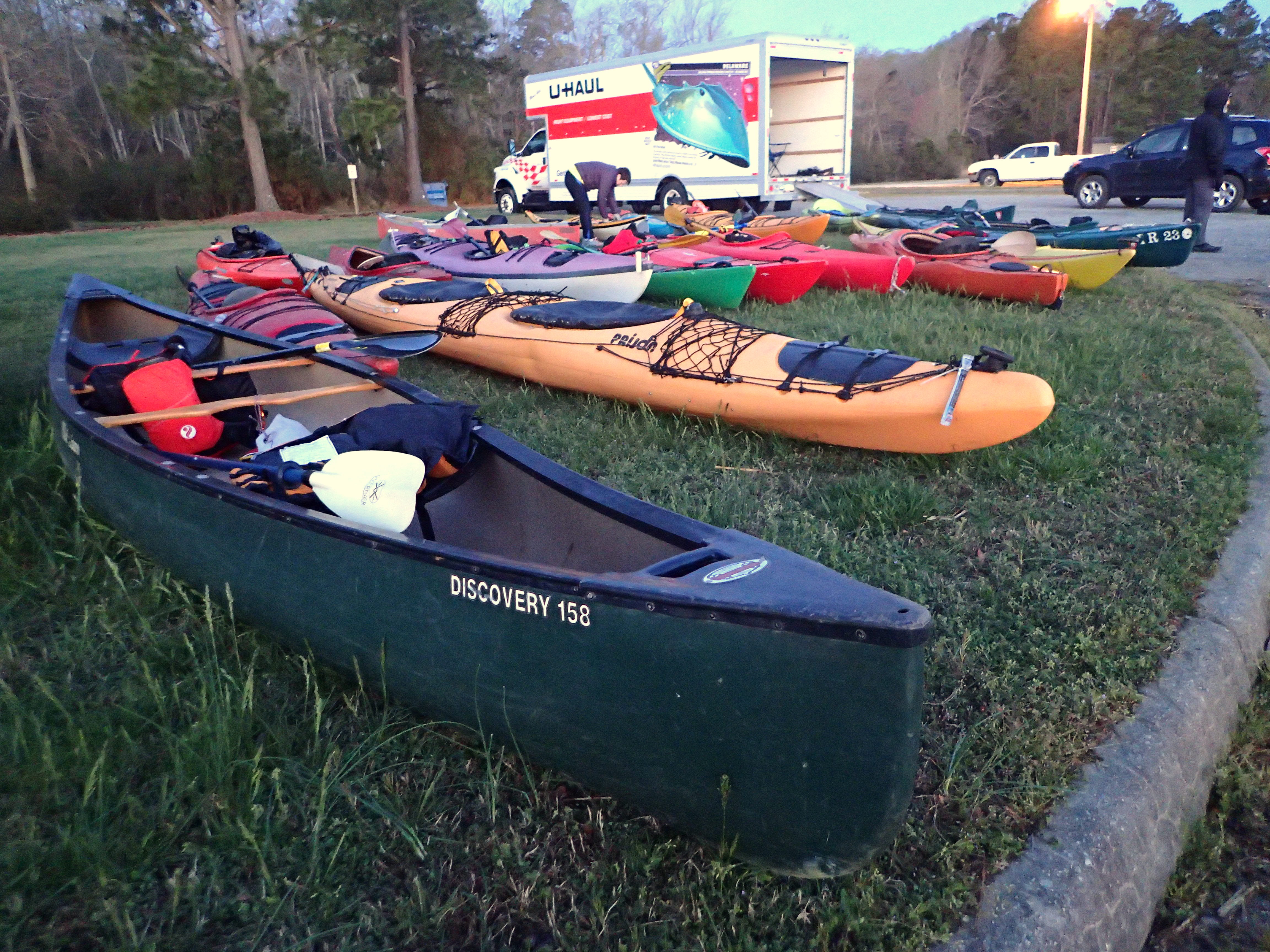
Our good old Discovery. Which one of these is different than the others?
Seemed simple enough. Seemed comfortably clearable. Seemed fun. About what you expect in a sprint race. So, we got ready, and off we went.
We made quick work of the prologue and were the first team onto the bike. We put our heads down and rode the 6+ miles to the boat TA. My legs felt like crap, and I feel like I increasingly suck at sprint racing.
We made it to the TA in…second place! Chip Dodd had elected to short cut along the coast and he found a fire road that cut the distance dramatically. Frankly, we just didn’t even look at other options, partly because Mark Montague publically suggested there was no other way around except whacking along the coast. Had that actually been true, the road around was the best way to go. But we heard him say that and didn’t really look at the map, so we didn’t see the fire road. Oh well!
We transitioned fast and still managed to get out on the water first by a few minutes.
The York River is rather large. We set off in rolling but manageable water, paddling our way straight across the river to a large bay and some estuaries that housed two checkpoints. Half-way across, we noted the wind picking up. Nothing too crazy, but enough wind and water movement that paddling wasn’t too much fun and we had to fight a bit to keep our big tank of a boat in control. Once we reached the other side, we portaged across a marshy peninsula into relatively calm and protected waters.
It was a lovely 30-45 minutes of paddling and running. We cruised through the inner bay and water channels picking off the first point and then beaching to run for the second control, the right move for sure, but our legs were cramping a bit from the cold water and the fast start, and the run felt longer than it should have.
Back in the boats, we headed back toward the bay and immediately found ourselves fighting much firmer wind and waves. It was increasingly difficult to control the canoe. And we were still in the protected inner bay. We had opened a small lead on Chip and a team of two men, and it seemed that our three units would battle it out for the rest of the day. As we neared the marshy peninsula once more, I had the uncomfortable premonition that we were in store for something precarious at best and downright dangerous at worst once across the marshy spit. If things were picking up in the shelter of the inner bay, what would they be like as we tried to paddle back across the open water of the York?
Before we found out, we struggled across the peninsula, picking a poor spot for our traverse and finding ourselves having to cross several small channels. Chip and the two person team, meanwhile, took a better route and snuck through, closing the gap.
And so we set off into the wind and waves. Things had picked up considerably. Ultimately, we were supposed to paddle downriver and take out at the start/finish, but no matter how hard we tried, we continuously were pushed up river. In fact, the elements seemed to be conspiring against us, directing us back to the TA on the far shore. I had been anxious about this crossing for some time, and I began to consider the very real possibility that we would not make it back without swamping.
Several signs pointed toward potential disaster:
- As noted, the wind and waves in the inner bay were merely a preview of the harsher forces of nature waiting on the river.
- We had noted and were surprised that we didn’t see more teams as we paddled back out of the estuaries. Where was everyone?
- When we emerged into the York River proper, our eyes immediately took in the ominous sight of two helicopters flying over the far edge of the river.
- The TA was still a ways away, but we both took note of the fact that there seemed to be far more activity over there than when we had left. Far more vehicles than the lonely U-haul we had seen upon departure.
- As we made progress, we were able to see more of the TA, and all of a sudden we could make out the glimmering red and blue lights of emergency vehicles.
- Two rescue boats were chasing after the helicopters.
“Joel,” I said at some point early on, before we had actually registered all of the above, “I think there is a very real chance we’re not going to make it. Secure your bag to the boat.” We actually had this conversation back on the peninsula before we could see anything of the river itself. Even then, I was concerned. If we were swamped in the middle of the York, we’d be a very, very long swim away from shore, at the mercy of the wind and waves and tides, and in rather cold water.
“And Joel,” I continued, imagining us in that churning water with a canoe full of water. “If we end up in the water, forget about the canoe. We aren’t going to be able to save it. Swim to stay warm, screw the boat.” I think I may have used some cruder words than that.
So, we set off, simply trying to roll with the waves, jealous of the kayaks Chip and the other team were cruising along in. We talked, we watched with wonder and uncertainty as boats and helicopters flew about, we worked hard to keep the boat in line with the far shore, no longer worrying about heading down river as that was impossible. And we concentrated on trying to be as one with the waves as possible, balancing precariously as we rolled in the foam.
At a certain point, we crossed a threshold of comfort, and all conversation stopped. We had already been taking on water, and it took a considerable amount of focus to keep our balance as the burgeoning pool of water in the bottom of the boat began to affect our balance, sloshing about with every wave and gust of wind, threatening to tip us into the York’s grey waters. We vaguely took note of the fact that Chip was able to work his way downriver in his kayak. We let him go, knowing that he would establish a solid and perhaps commanding lead on us, but unable to turn downriver ourselves.
We simply had to stay afloat. Slowly we managed our way across the river, and ultimately we were able to make it to the far shore, pulling out at the TA. The two person team had passed us as well though they too ended up at the TA rather than the start/finish. Emergency personnel littered the small pier and parking lot. We counted at least ten emergency vehicles. The volunteers checked in with us as did some first responders.
It was not clear at that time what exactly was happening in regards to the race. All indications from the volunteers and emergency responders were that the race was over. A number of people had been rescued from the cold river, we learned, and three had been taken to the hospital for hypothermia. As far as I know, only 5 or 6 teams/solos made it across the river to start the morning. The rest were either swamped, capsized, directed straight down the shore to the start/finish or simply bussed back to the start/finish.
It was clear that everyone expected us to jump in a truck or van, but Joel and I quickly and quietly broke down our paddle gear and told the volunteers we would hike back to our cars, hugging the coast. We had no reason to think the race was still on, but we were cold and sitting in the parking lot would have been much worse than moving. Experience told us that though we were cold, a few minutes of walking and jogging would do the trick.
So, we quickly set out, bushwhacking along the shore line for the start/finish. We laughed that we had driven 9 hours the night before for less than 3 hours of racing, but what a bizarre, memorable experience anyway. We had fun on our way back, even swimming when we reached an unfordable creek. Why not?
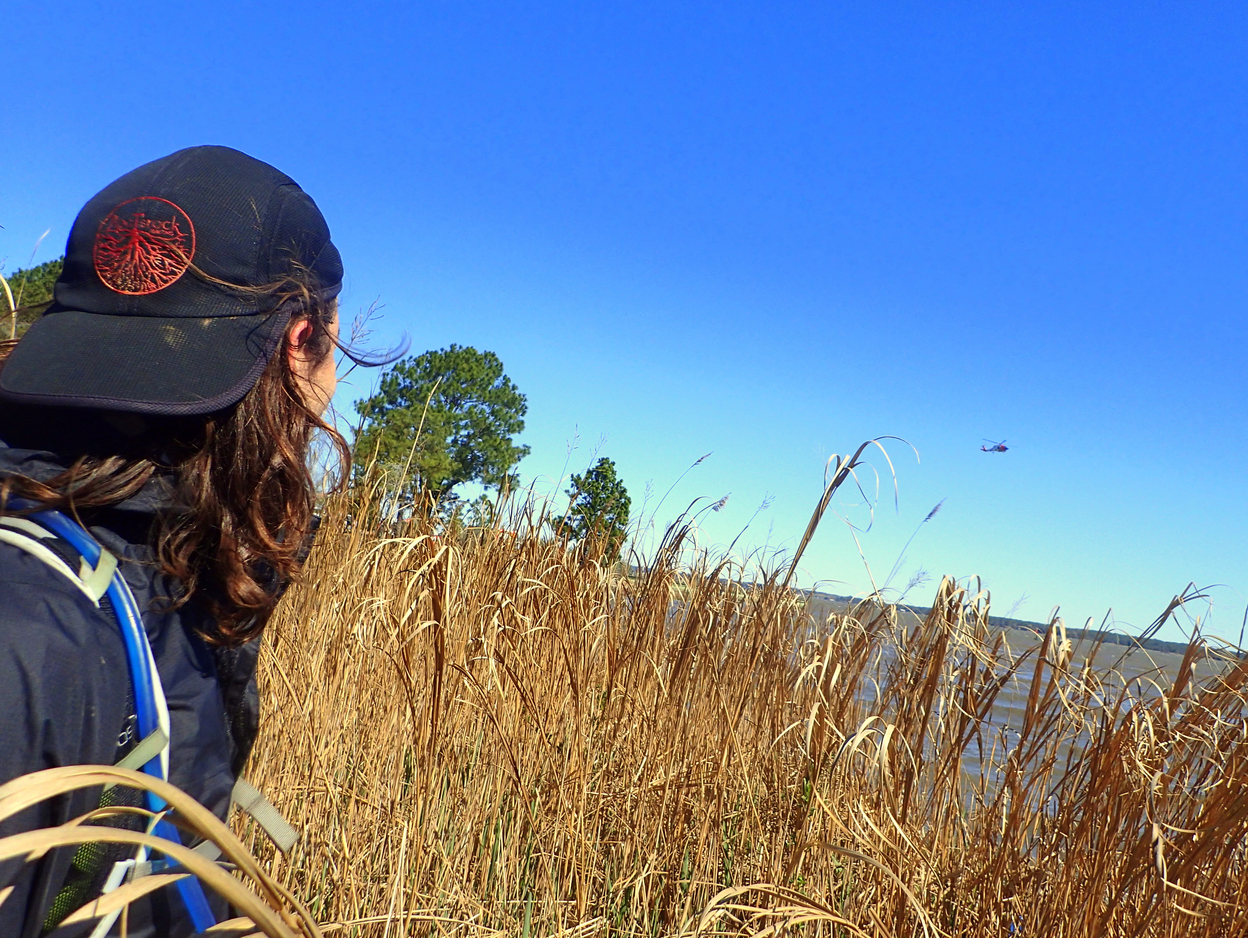
Our high-flying escort.
A safety helicopter, clearly anxious, followed our progress for the last several hundred meters. In retrospect we imaged the following conversation among their crew:
“Hey, we have two guys here on the shoreline!”
“What are they doing?”
“Looks like they are trying to get back to the park, but they’re going to run into that estuary in 200 meters.”
“Think they’ll turn back?”
“I don’t’ know, but I think it’s too deep to cross.”
A few minutes passed as the helicopter floated above, and I was thinking to myself that this was undoubtedly one of the weirdest moments of my AR career.
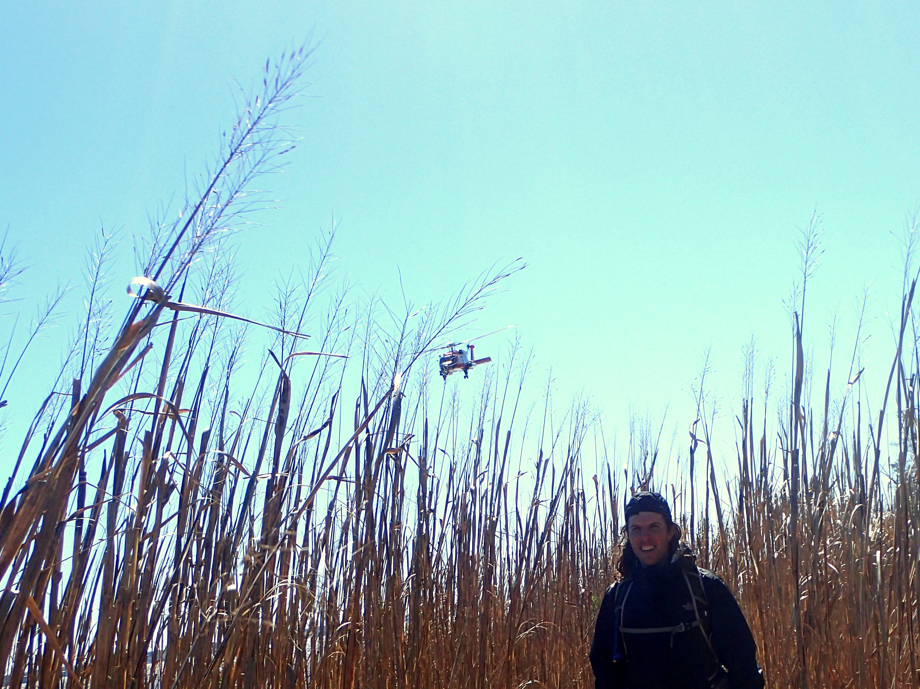
Waiting for us to swim.
“Think they’ll go for it when they get to the water?”
“No way. Too cold. Plus they have those packs on. They’ll either go back or head up stream until it gets shallower.”
We reached the estuary. Joel and I looked at each, a knowing twinkle in our eye and a brief shrug, and we were both in. Wading and then swimming across the cold ribbon of water, our breath momentarily sucked away.
And in the helicopter? Who knows? Gasps. Cheers. Curses. Name-calling. Tears. Whatever their reaction, the moment we stepped out on the far bank, the helicopter peeled away and headed back toward the TA.
A few minutes later, we reached the final control of the leg, imagining Chip had reached it 20-30 minutes before, though we had no idea. We scaled the steep bank and popped out into the TA.
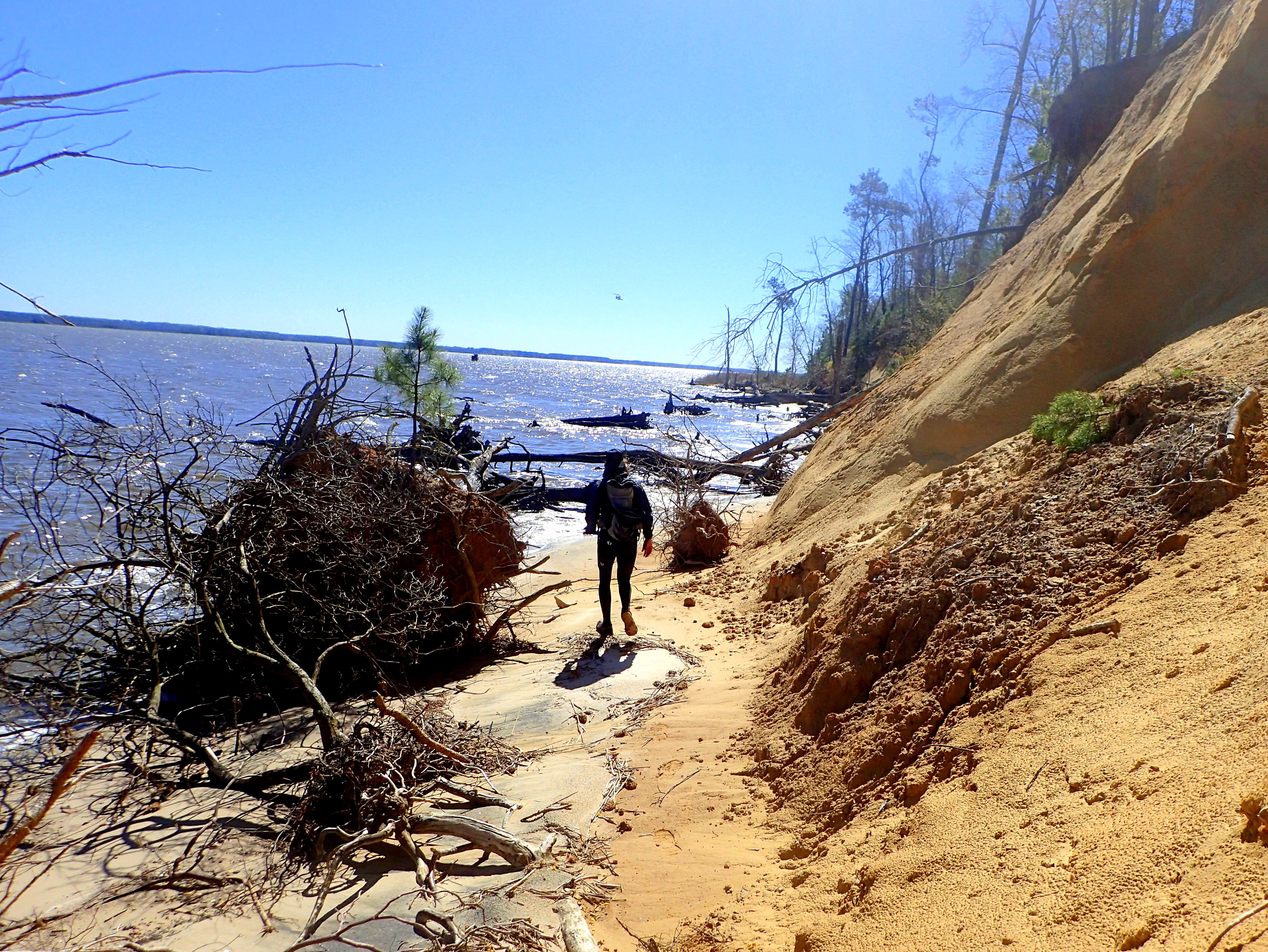
Coasteering: An unexpected discipline.
That coastal trek was a highlight of the race. While the river crossing had been nerve-racking, and while it proved terrible for many, it too was a highlight. Again, I feel terribly for those who suffered in a genuine manner. For Joel and me, however, it was just another day in an adventure race. It was a brief moment, an epic moment, a memorable one. We were able to apply experience, plan accordingly, manage the situation and undoubtedly we had a bit of luck on our side. One more rogue wave than we encountered, perhaps another half kilometer of paddling with the additional intake of water that would have accompanied it, two more knots of wind, a third teammate. Any of these scenarios would have likely doomed us to the cold waters of the York.
Instead, we had a terrific adventure, and the coastal trek was beautiful. The helicopter shadowing us, eerie. The swim invigorating. We fully expected the race would be over, the TA would be dead. We assumed the trekking would be off, no maps available. But we knew what the biking course was supposed to be, so if no one needed our help, we figured we’d go for a bike ride before heading out.
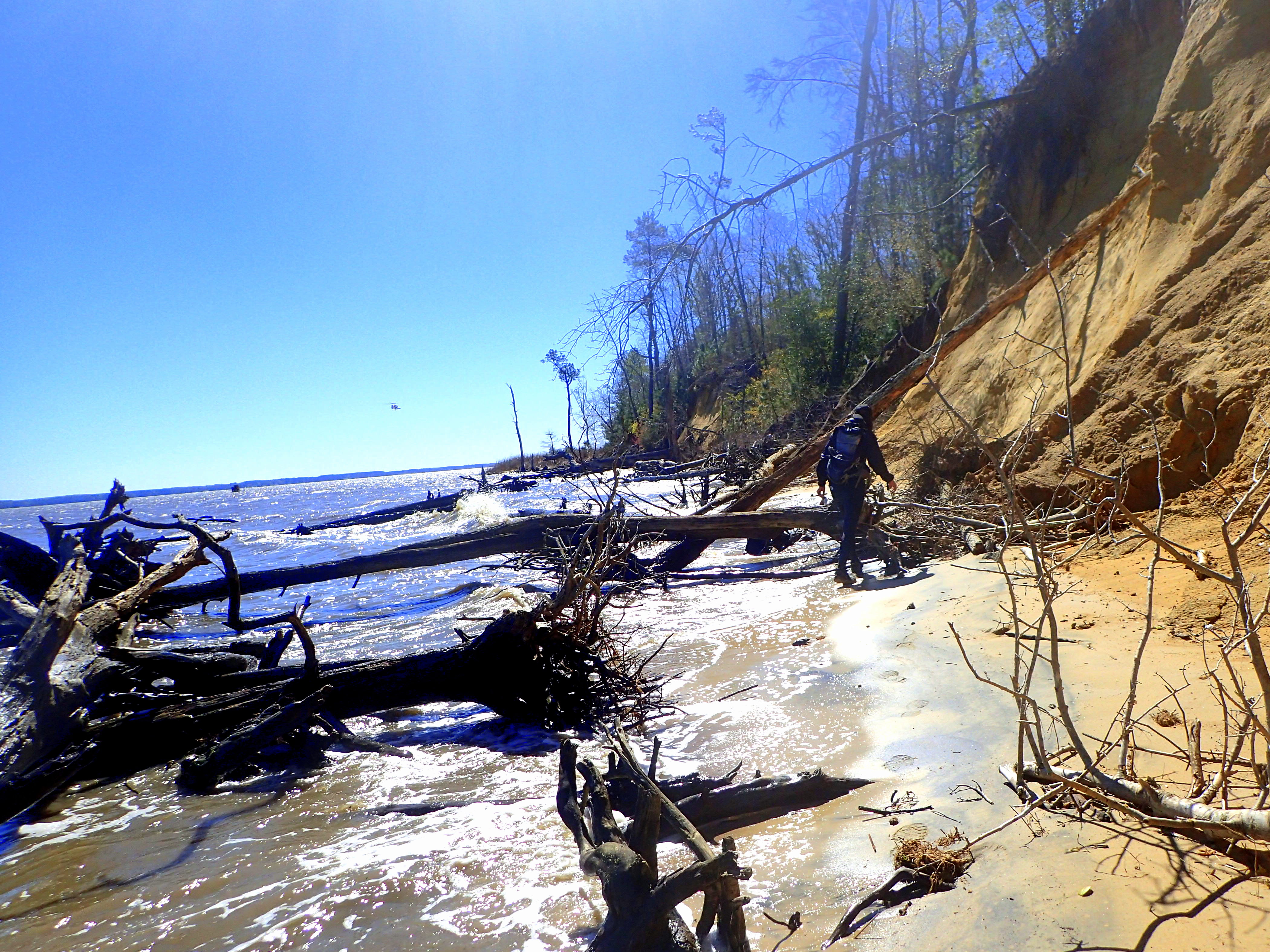
But in the back of our heads, we also kept in mind that in AR you never stop unless you are definitively told to. If the race was perhaps still on, we figured Chip probably had escaped us, but we thought the two other guys might be hot on our tails as they indicated they too would hike back (it turns out they didn’t, and they sat in that parking lot, cold and wet, for over an hour before being bussed back around). We didn’t know the full story about anything, so when we crested the river bank and saw the TA in full swing (with a few stunned looking faces here and there), we immediately shifted back into full race mode.
We checked in, started with the foot section and didn’t look back.
The foot loop was wonderful. We started it with another short swim to shorten the distance to the first point since we were already saturated. And then we dried out for good, making our way steadily and efficiently through the foot section. We nailed everything cleanly and enjoyed the beautiful terrain, woods, and marshes of York River State Park. We were able to get a feel for the bike trails and even ran into two of the bike points.
We were alone for the duration of the section, except for the first and last checkpoint, and we returned to TA to quickly transition onto our bikes. For various reasons, we elected to ride the John Blair trail in reverse. We were told that the ten controls were in zones A-E, but there was no indication of where these zones actually were. We assumed A-E made up the entire trail. So we bombed out to the far end of the trail and began riding it backwards, only to discover that there were in fact two more zones. We sighed with resignation, riding some extra tight, fun single track, knowing we didn’t need to but unsure where zone E actually was. We figured this cost us any chance we had to catch up to Chip or keep our lead on the other two person male team (unaware that they had elected not to follow us earlier).
A bit frustrating, but the riding was wonderful, and once we finally reached the beginning (end?) of zone E, we found our first checkpoint. From there, we just rode. We gambled twice since we had seen a couple of controls earlier in the day and guessed we could cut off some of the twisty John Blair trail by using more established, linear ones. Thankfully, both gambles paid off, but for an hour or so, we were almost entirely on that serpentine dirt track through the woods. We were able to cleanly finish the section and then hammer back to the finish.
As of this writing, I have no idea what the official results are. But as it turned out, I believe we finished 40-45 minutes ahead of Chip, finishing in 6 hours 20+ minutes. As far as I know, along with Chip, we were the only ones to clear the course considering that the other team of two lost all that time waiting in the parking lot and then didn’t do the bike. Again, however, I really don’t know who did what!
Looking back, it was a great event. Unfortunate and unpredictable turn of the winds, but it seemed like everyone made it through, most with happy smiles and stories to tell. For those who weathered the wind storm more literally, I am relieved that all were rescued, and my thoughts and best wishes go out to those who did end up suffering more thermal exposure than the rest of us. I thank Mark Montague and his team for a really enjoyable and memorable event, and I congratulate everyone who made it through this race, regardless of how they did so. The word “epic” is usually reserved for races of longer duration and more wild terrain, but for a brief moment the Soggy Bottom Boys 2017 Sproute Adventure Race was epic indeed!